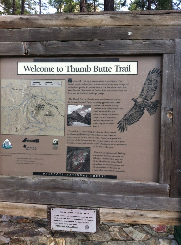
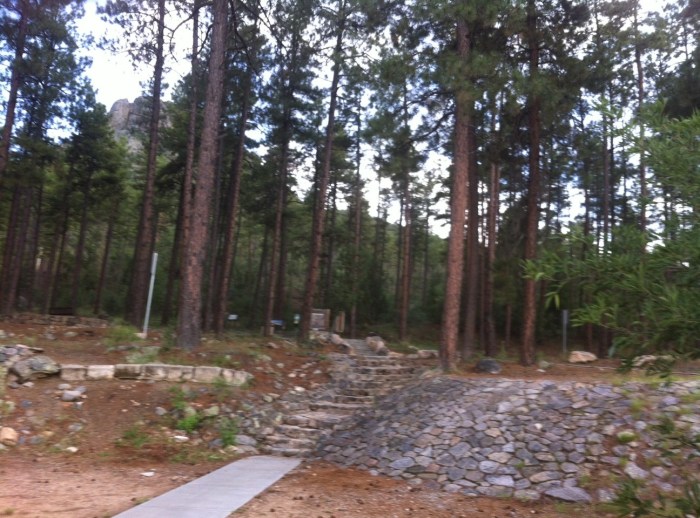
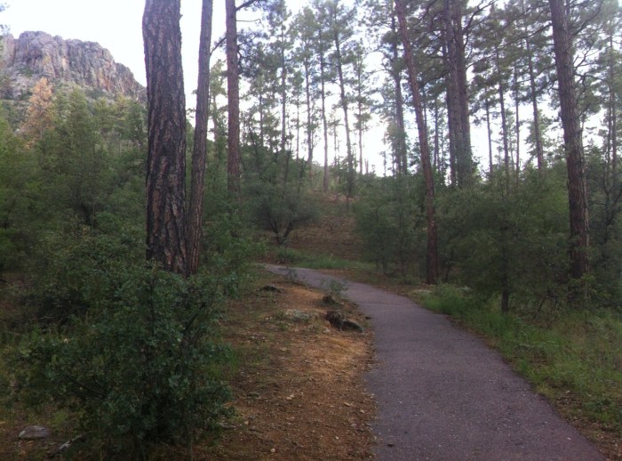
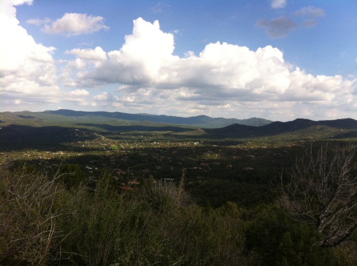
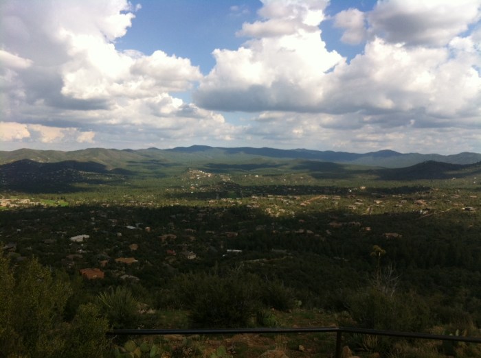
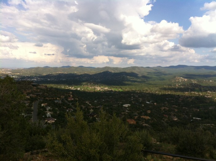
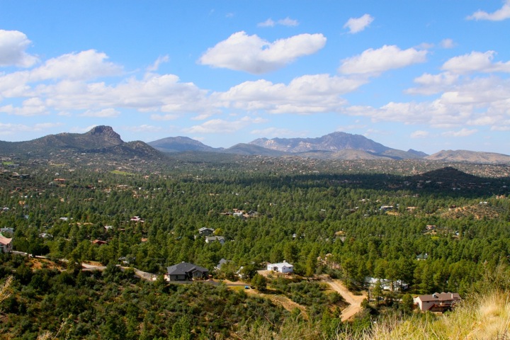
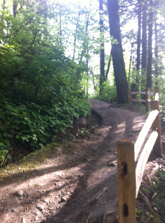
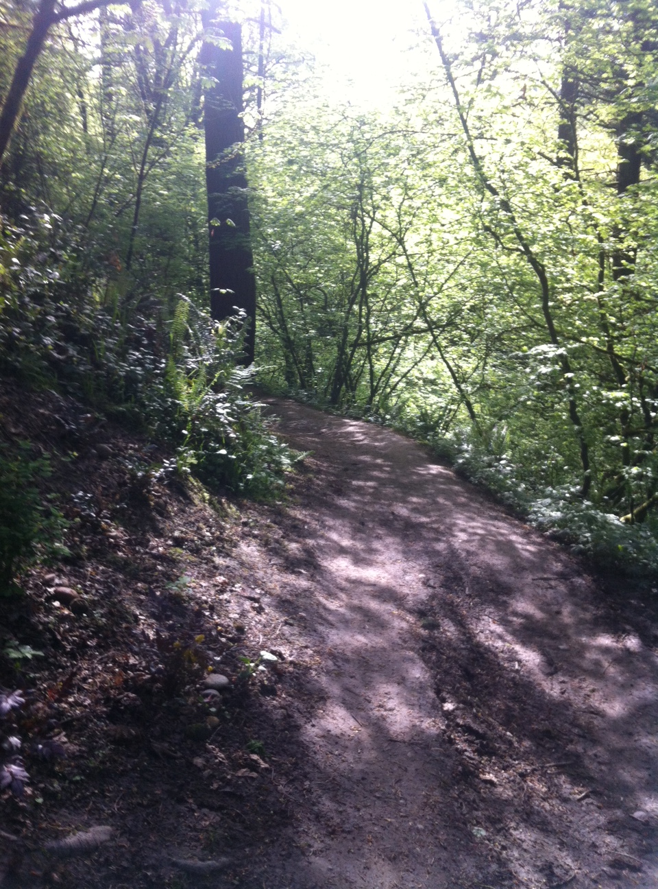
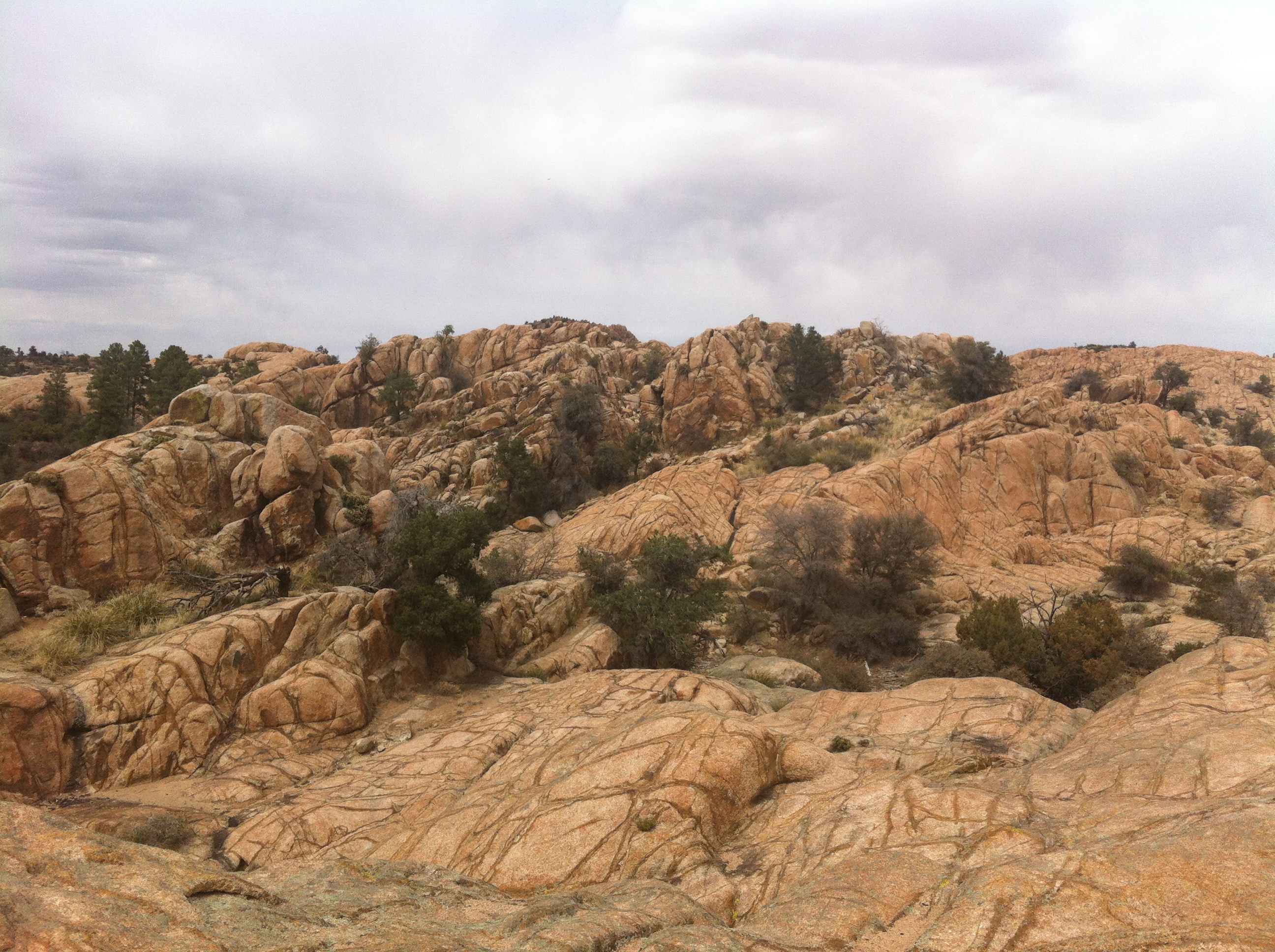
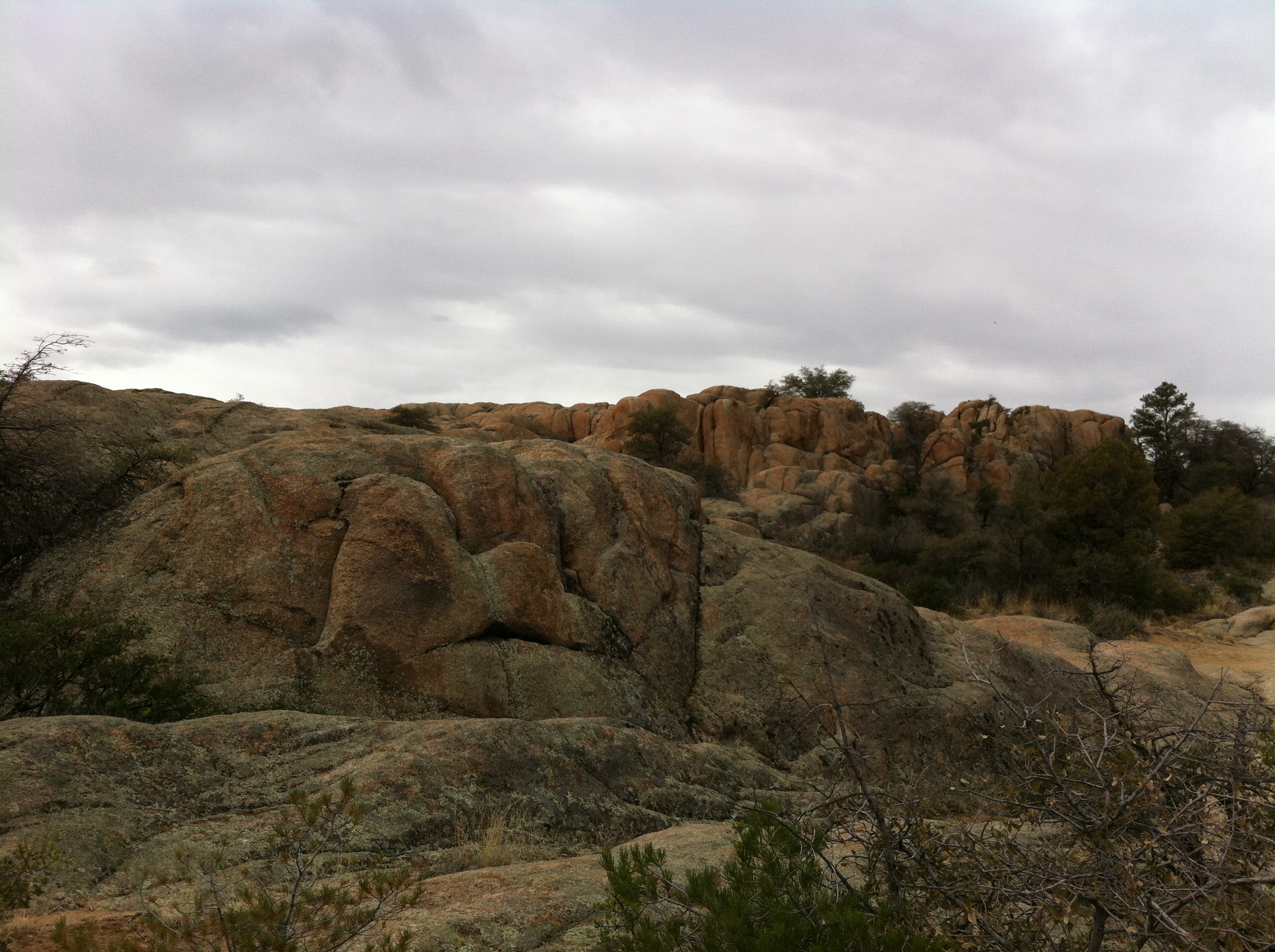
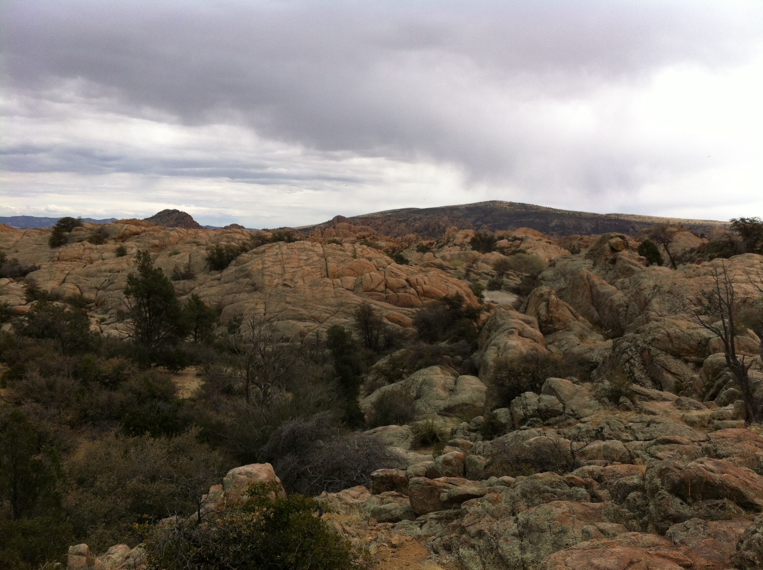
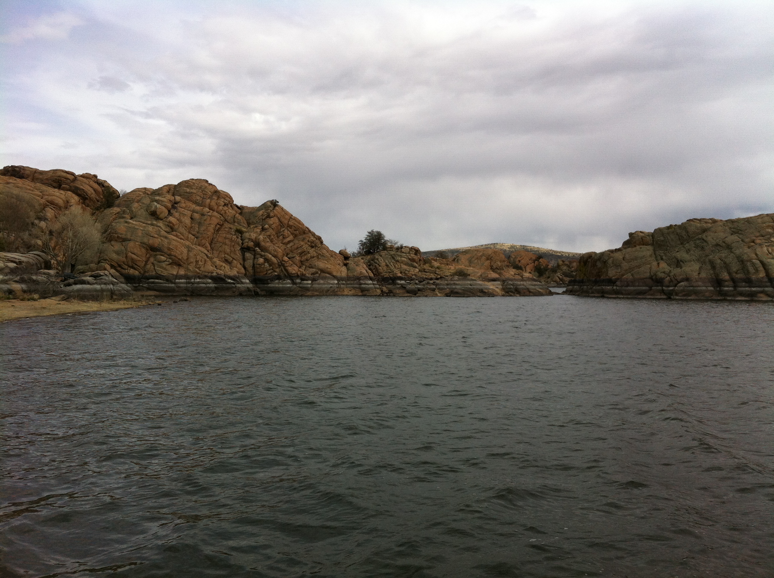
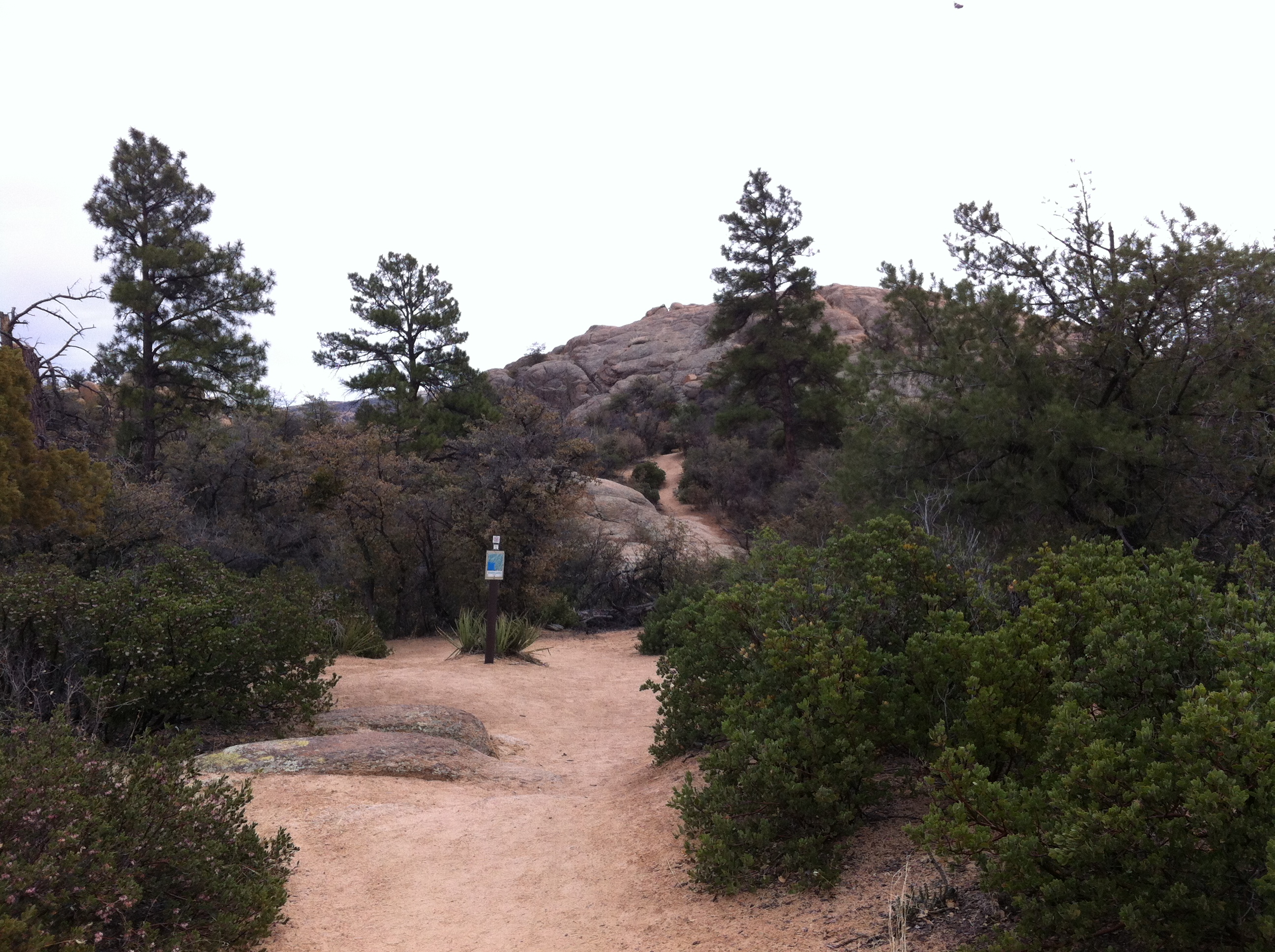
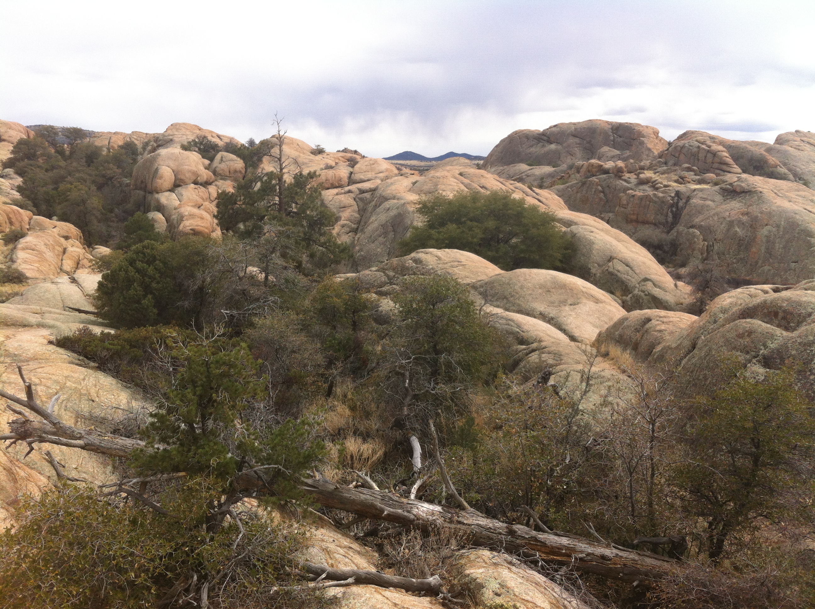
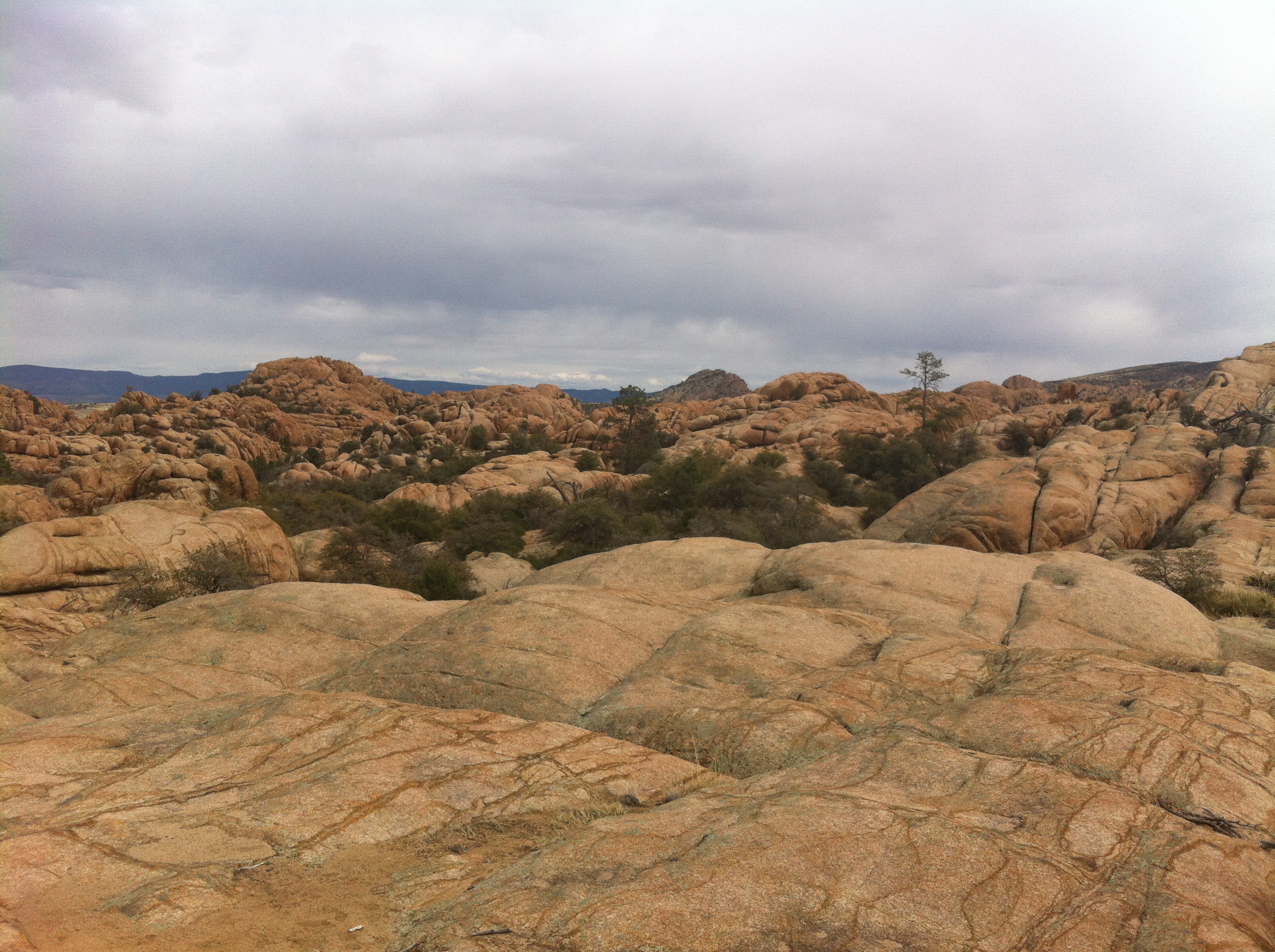
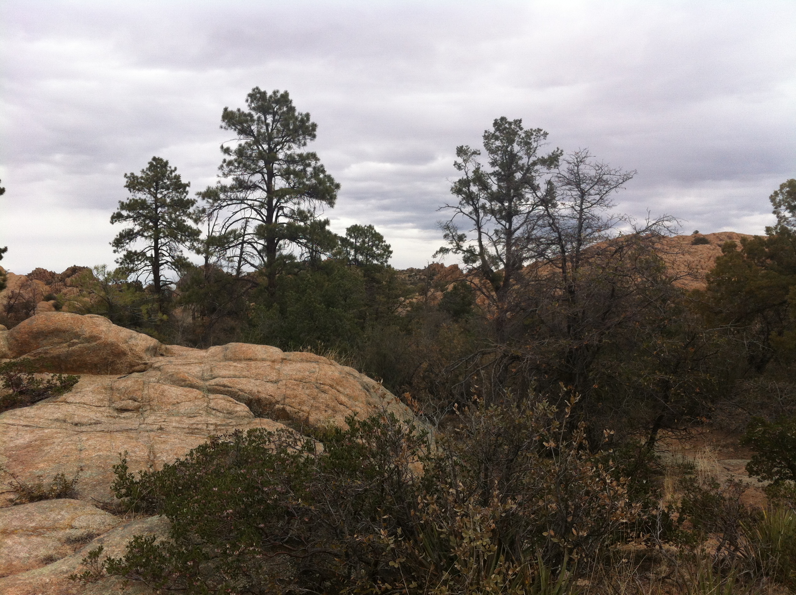
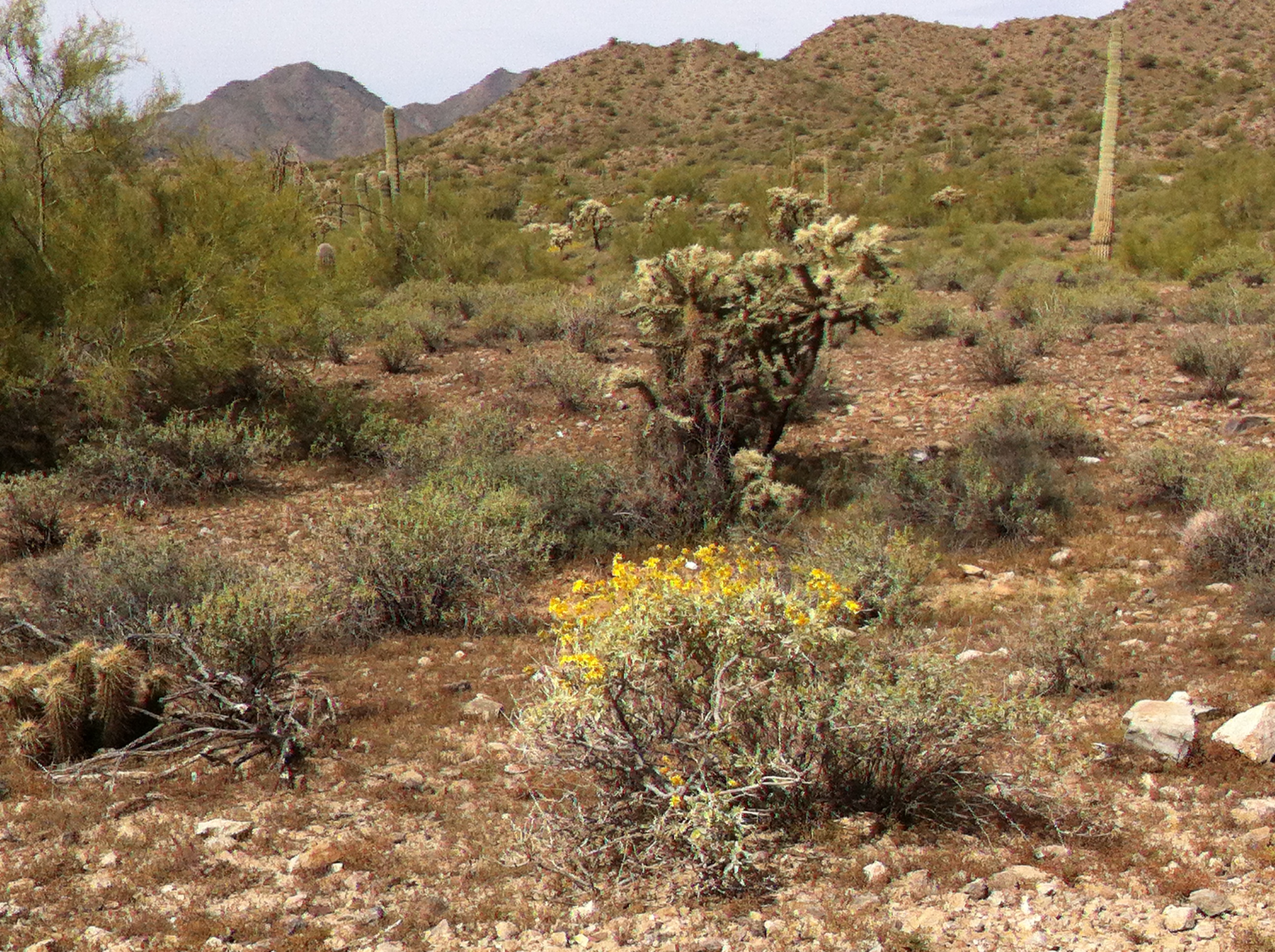
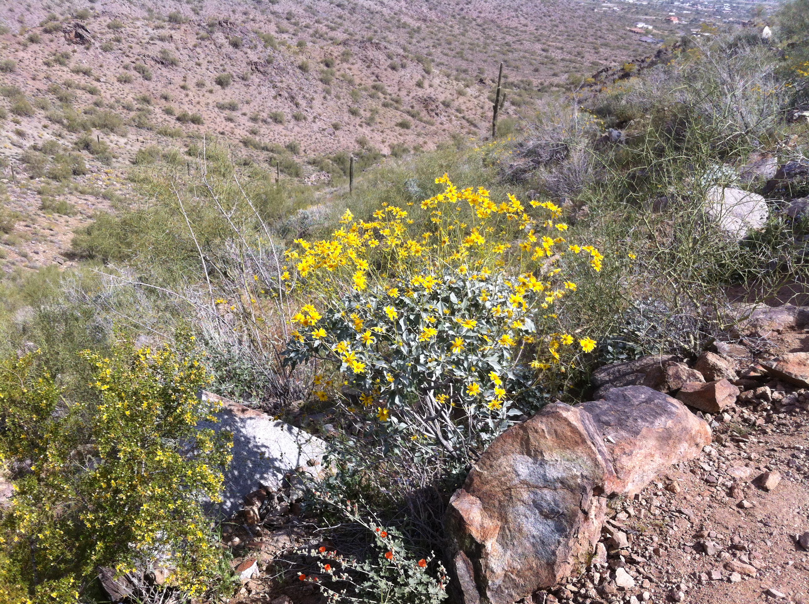
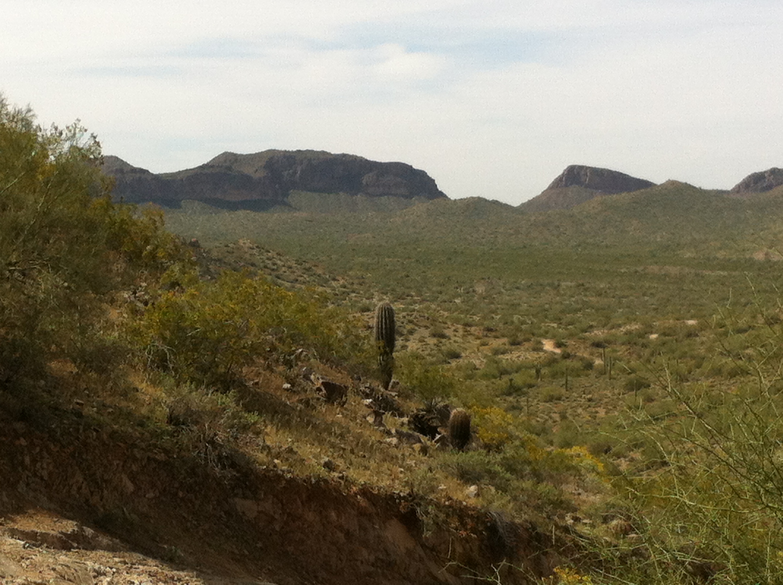
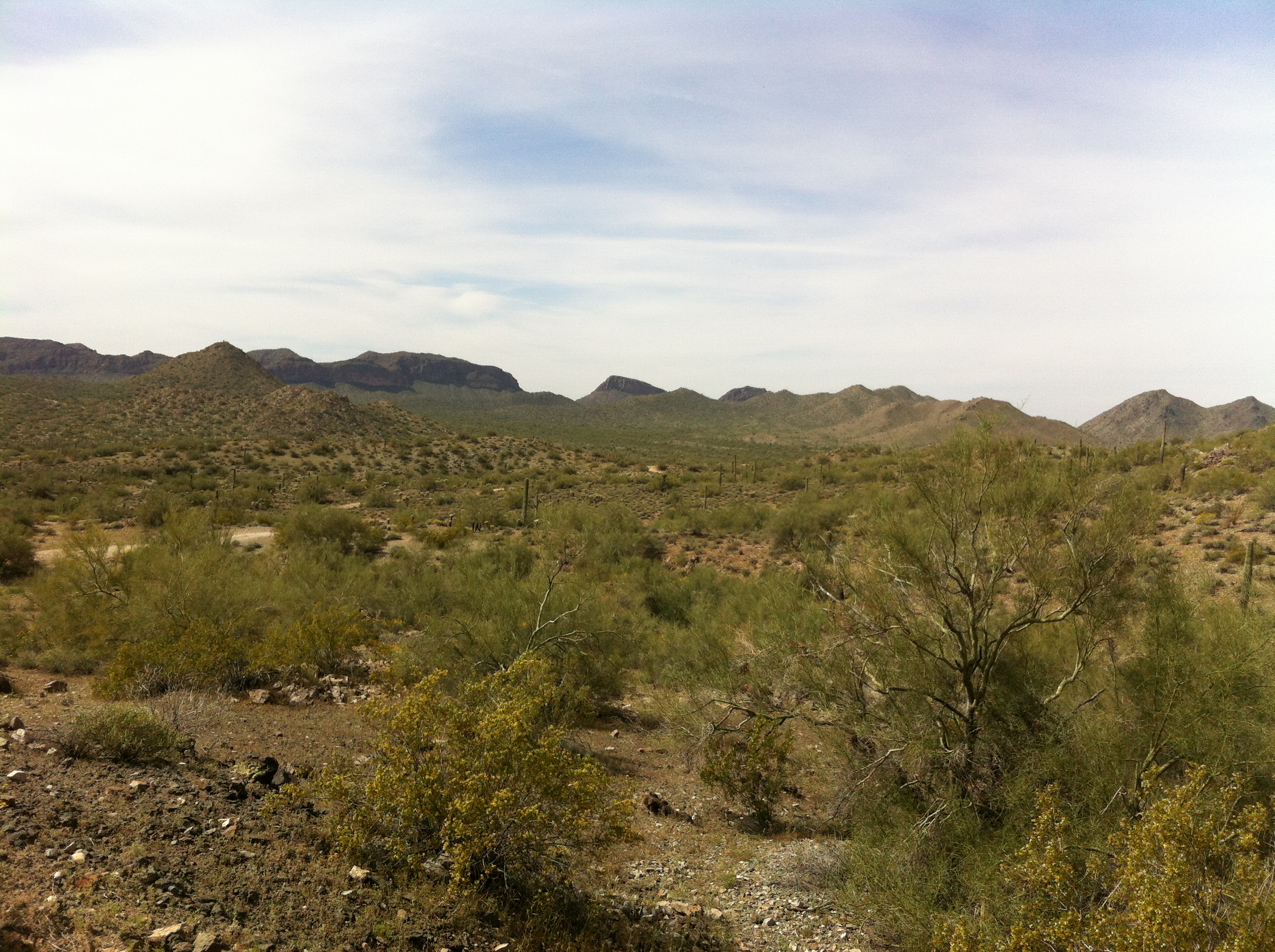
The Butte Creek Trail starts at Stricklin Forest Park on Sherwood Drive. This trail parallels Butte Creek, westbound to the Prescott National Forest, and runs partially through a scenic canyon. The City portion is 1.3 miles, but the trail connects into the larger trail system of the Prescott National Forest.
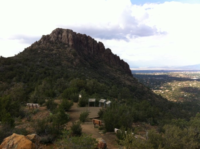
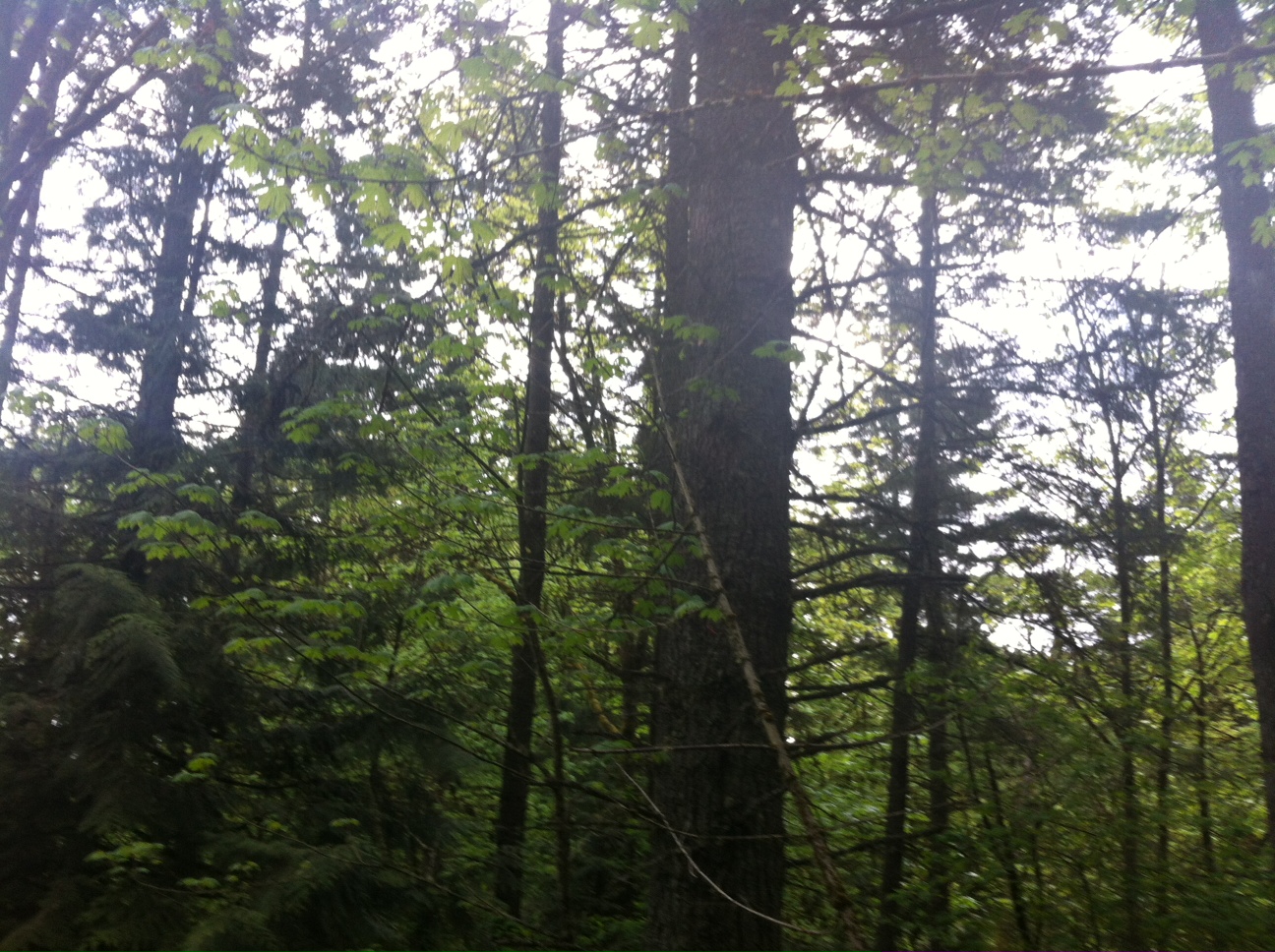
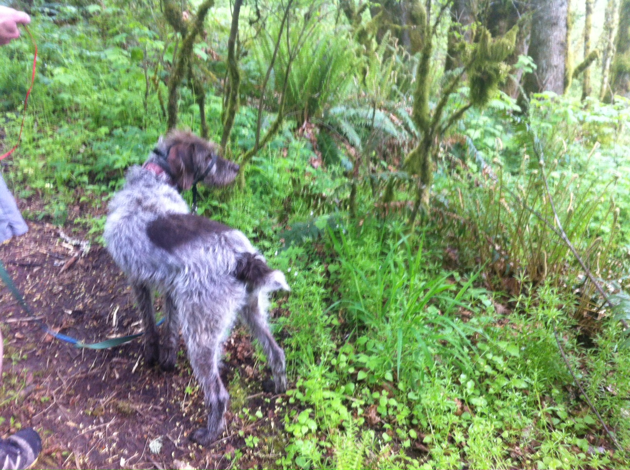
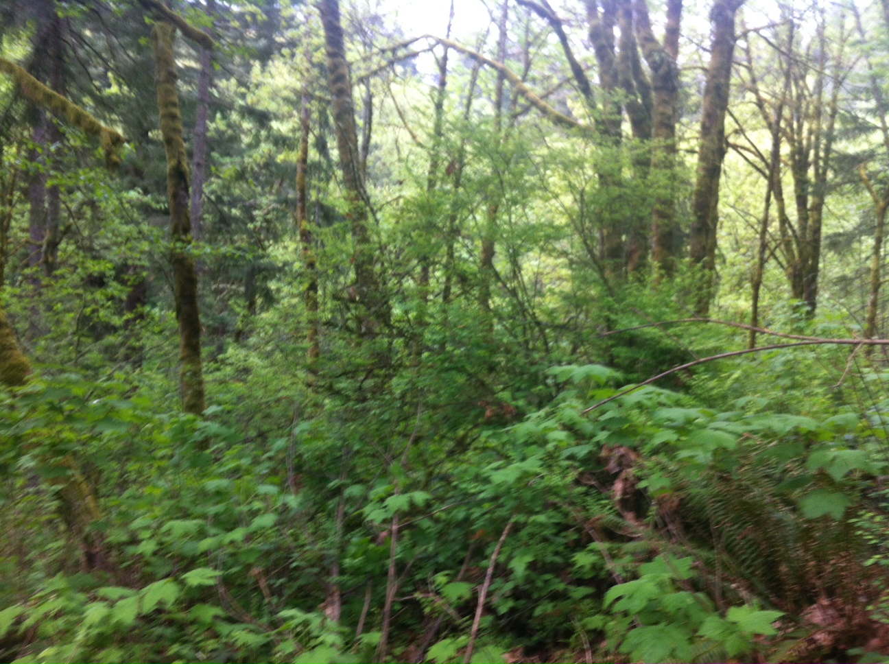
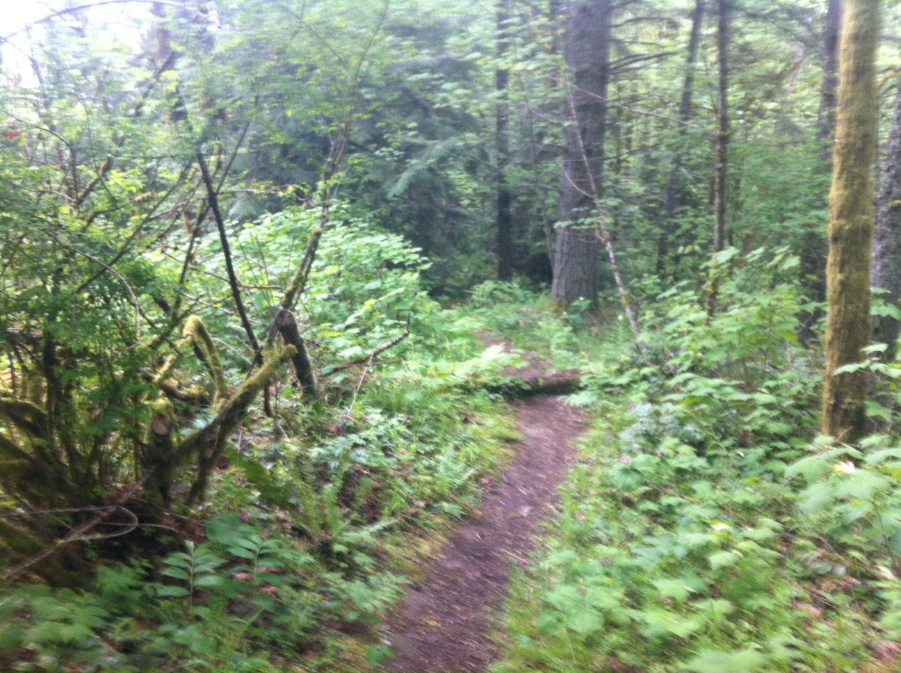
The trail is a very technical trail run with large boulders and sharp rocks to navigate as you make your accent though the canyon toward the Prescott National Forest. The trail was a bit overgrown due to the recent monsoon rails and a rattle snake warned me I was coming to close in Prescott National Forest section of the trail, so watch your steps!
Elevation: 5508’ (low) – 5788’ (high)
Length: 2.6 miles (round trip)
Skill Level: Advanced


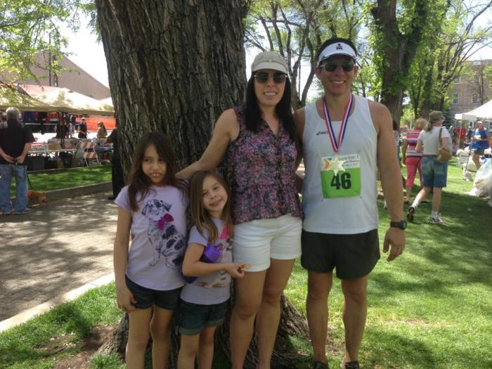
Happy Trail Running :-)