Mountain Weather

Mountain Weather

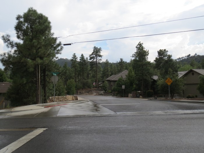
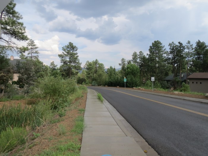
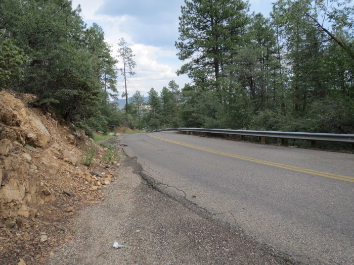
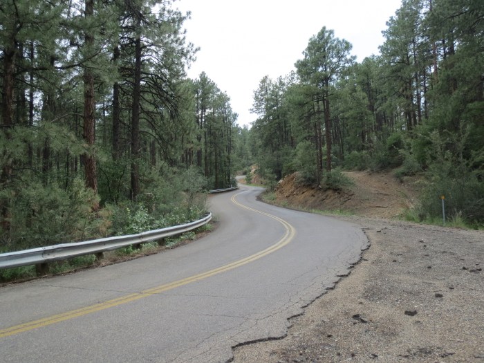
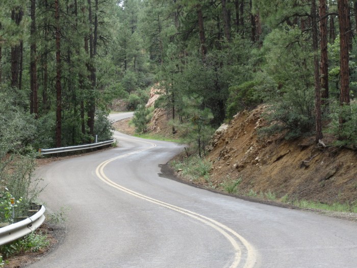
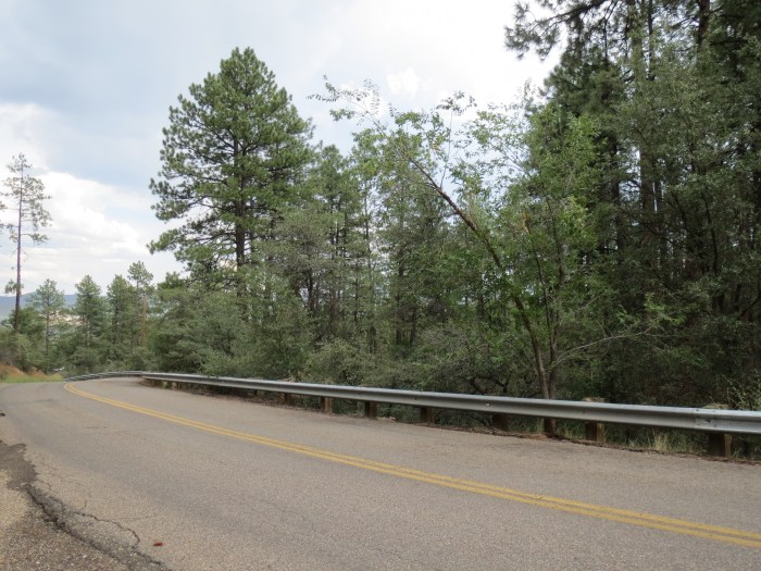
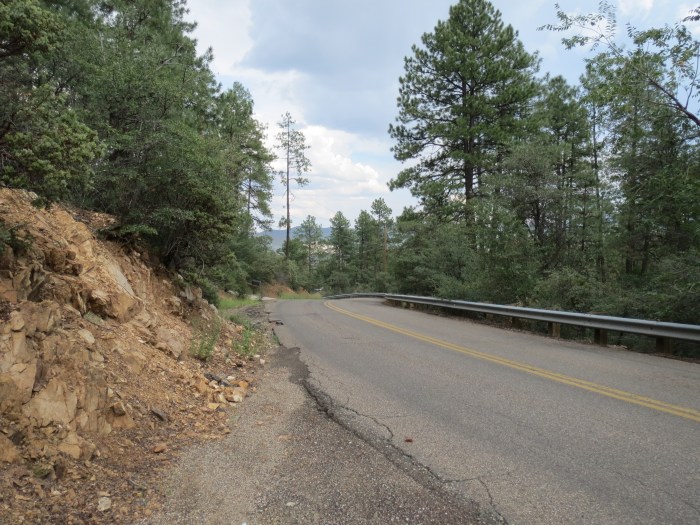
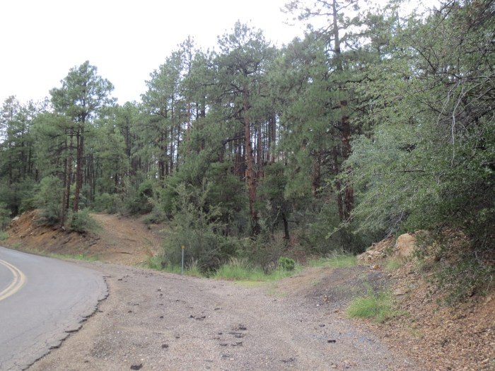
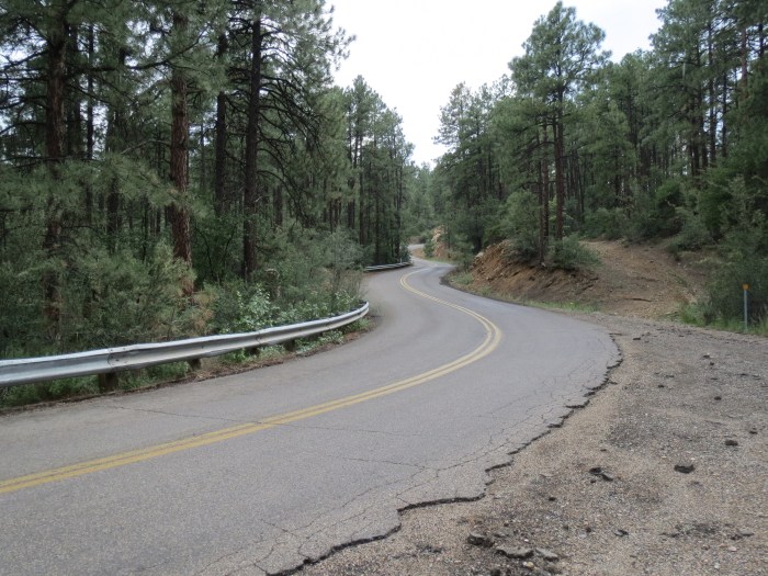
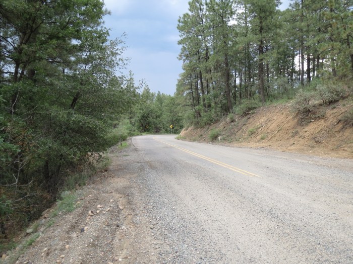
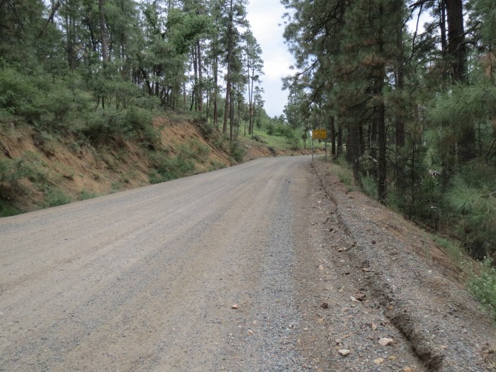
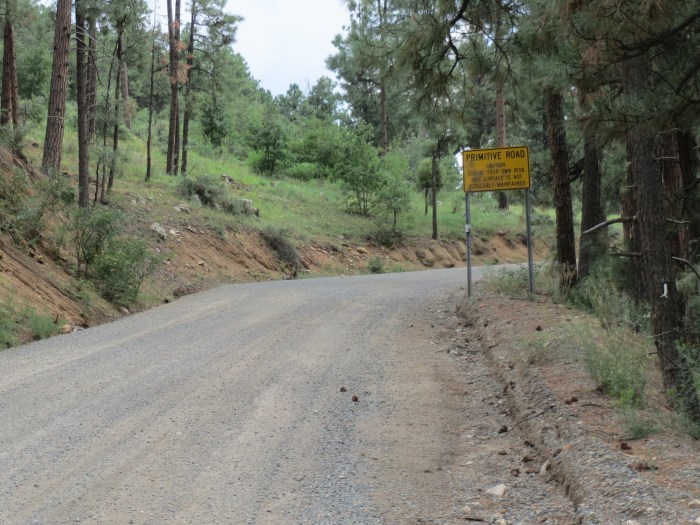
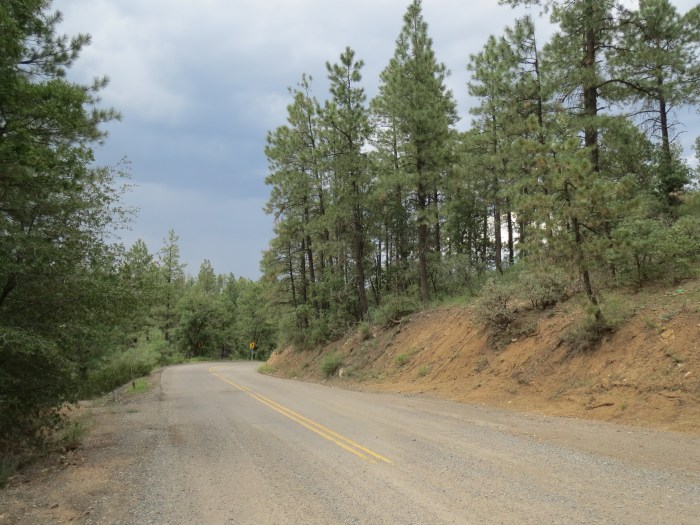
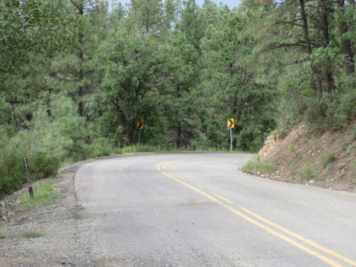
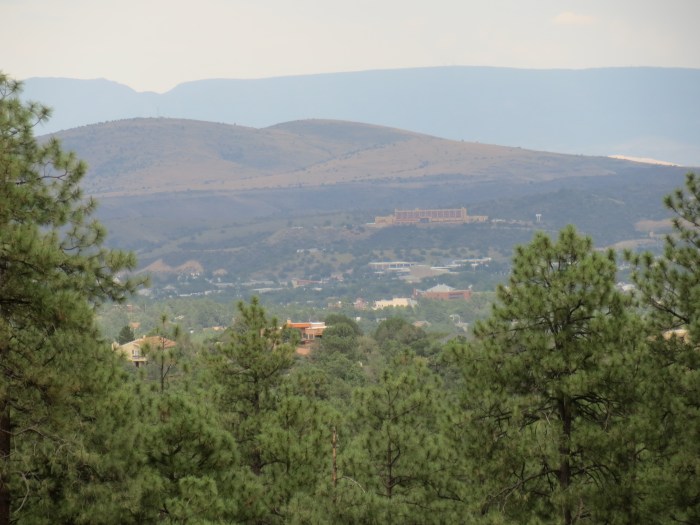
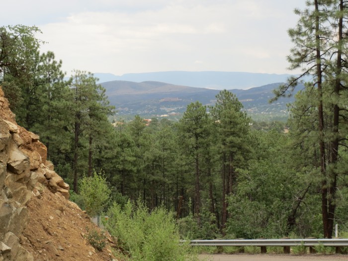
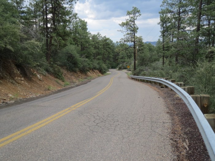
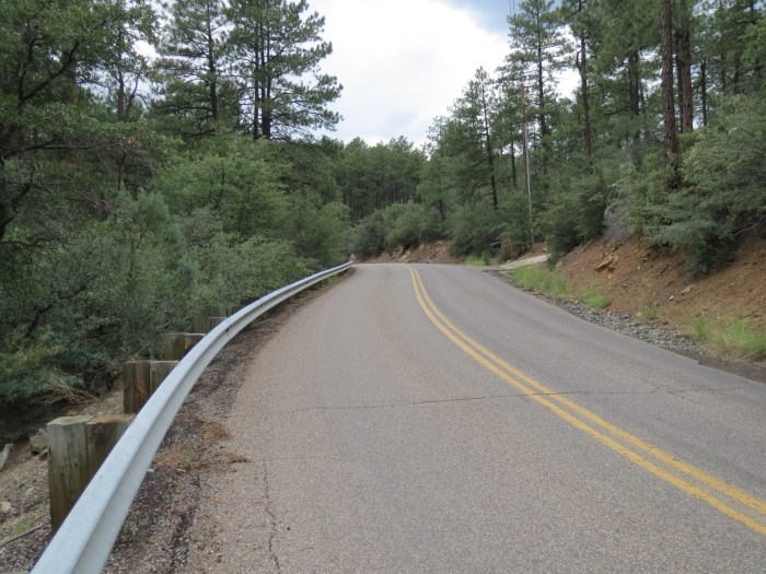
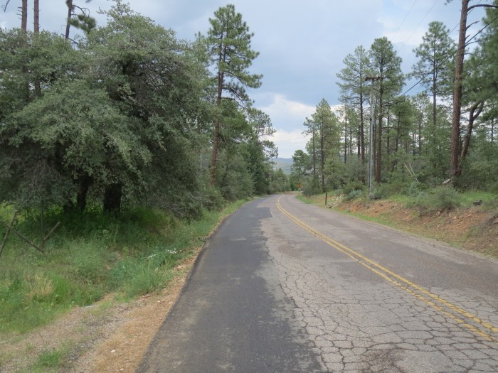
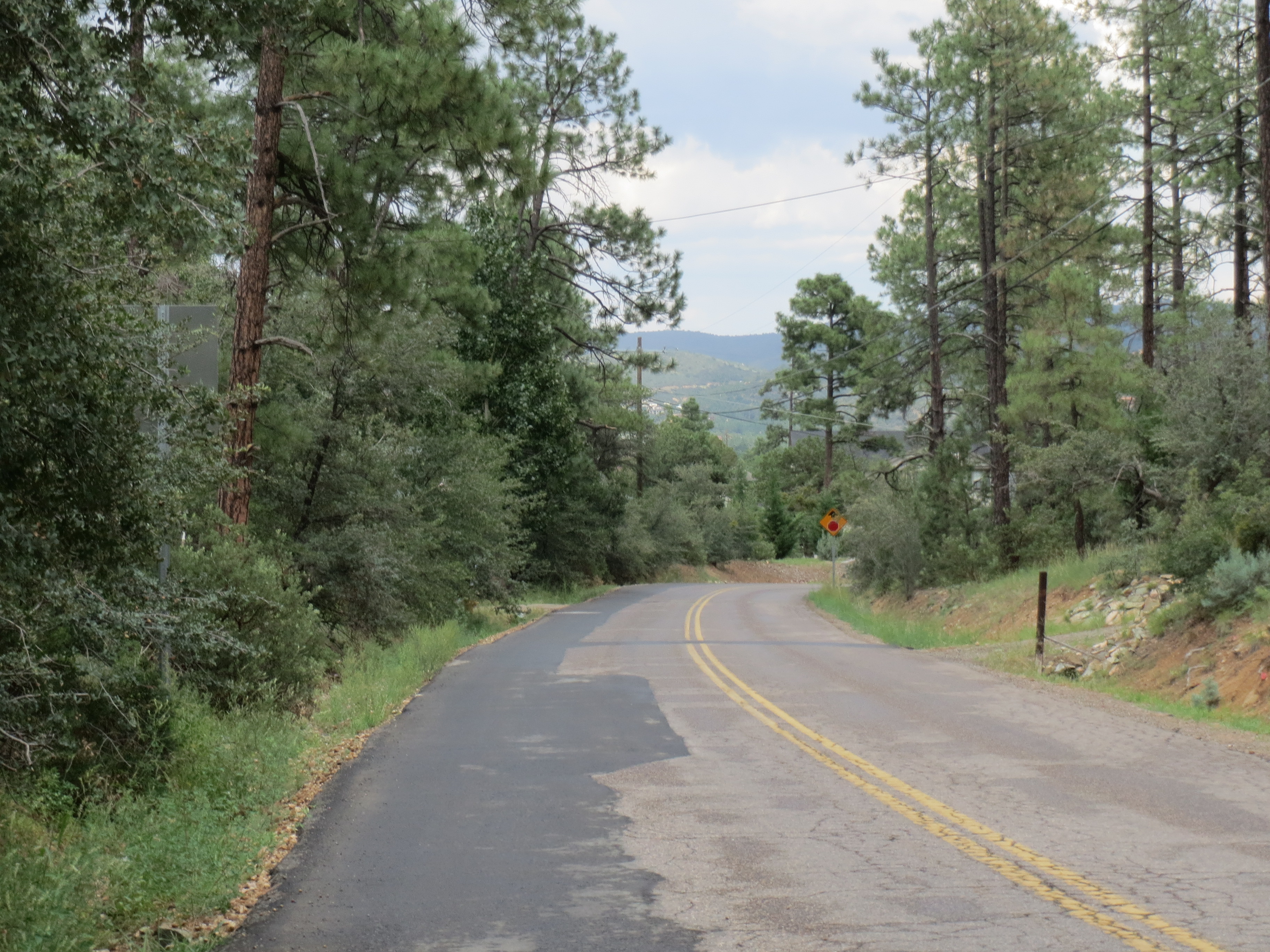
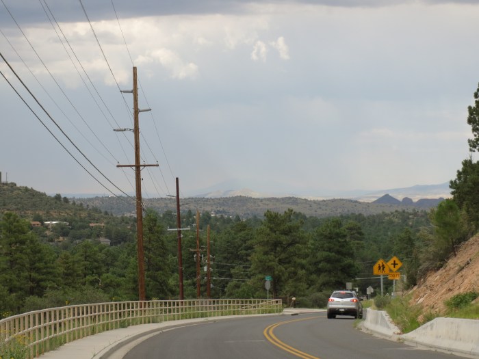
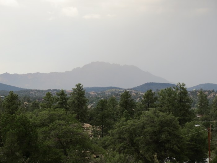
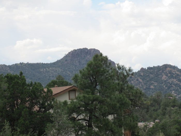
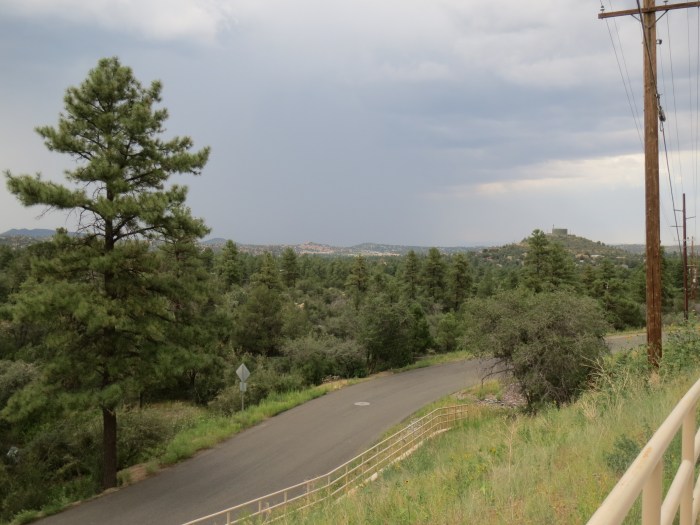
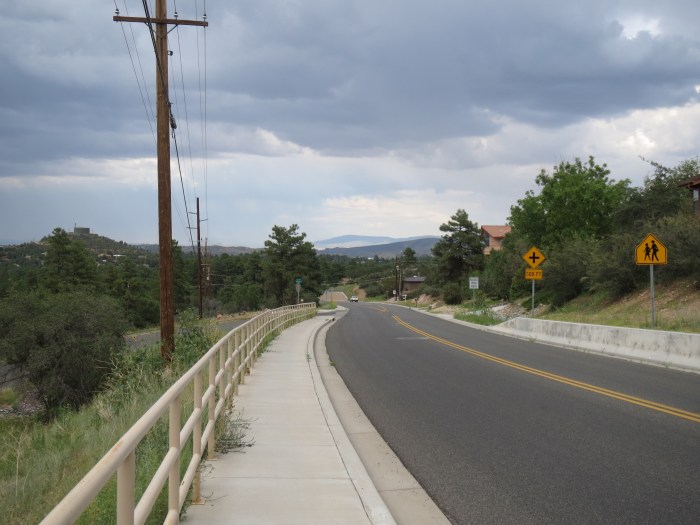
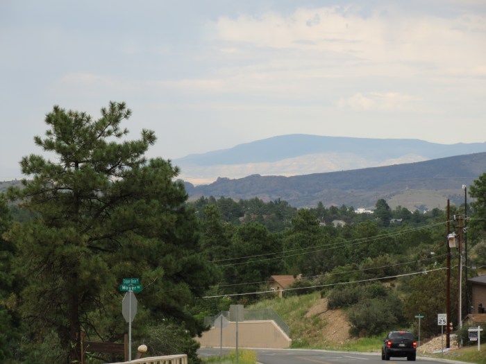
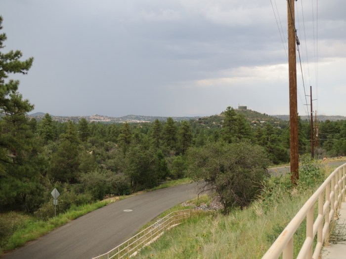
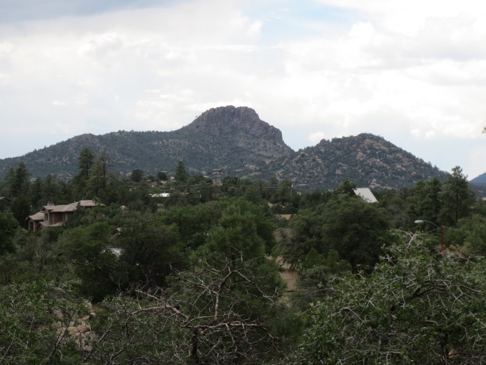
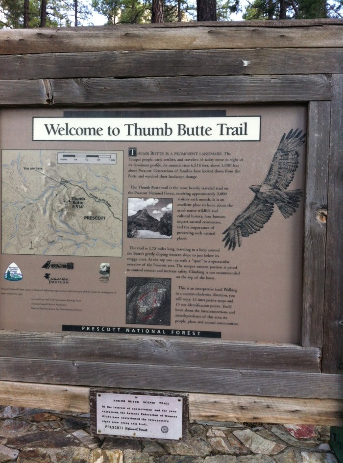
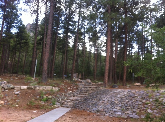
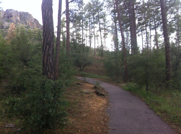
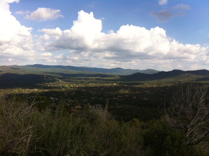
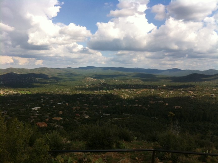
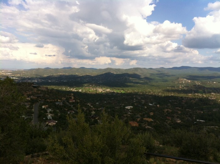
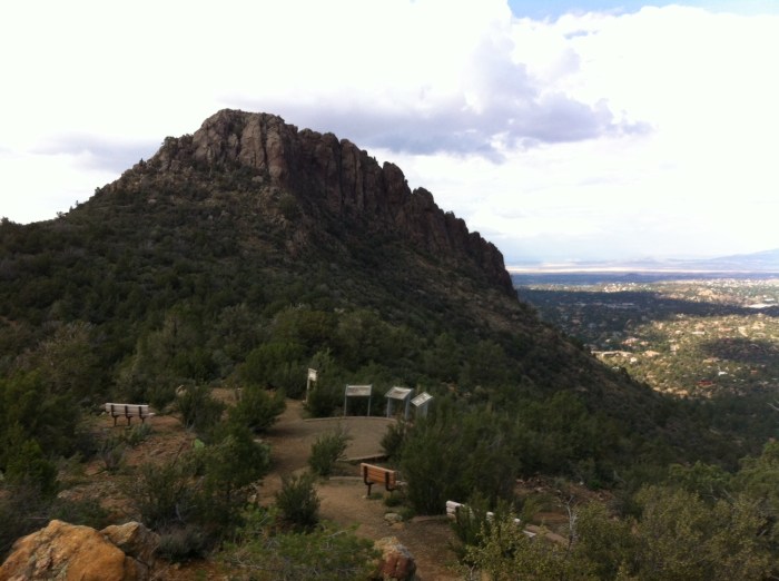
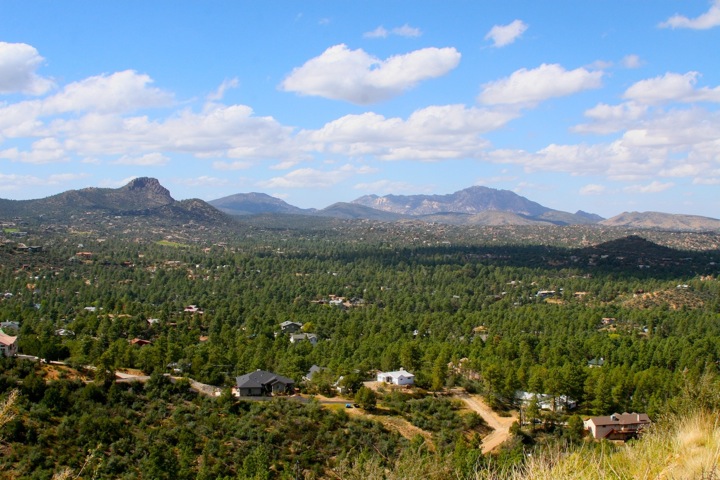
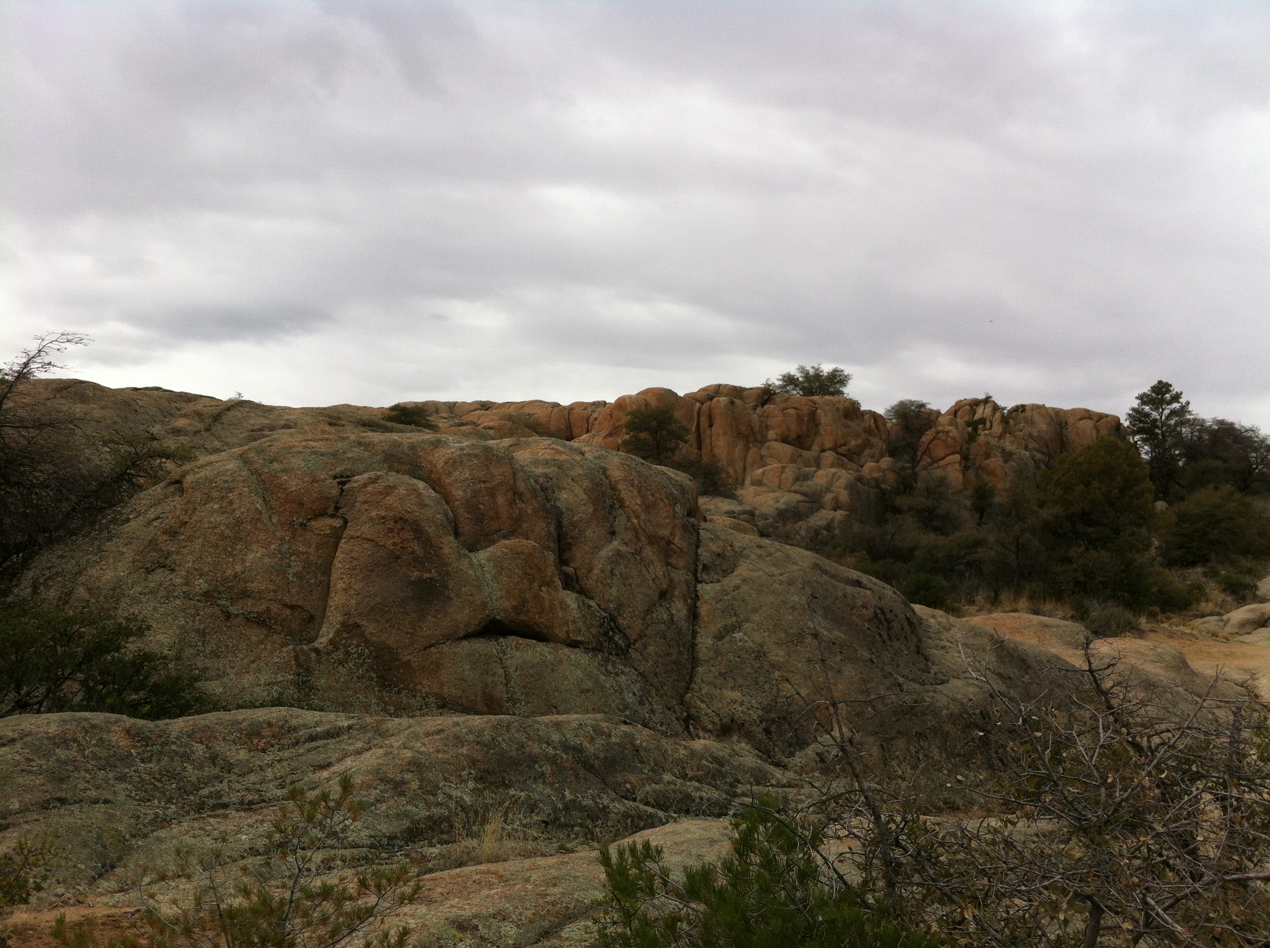
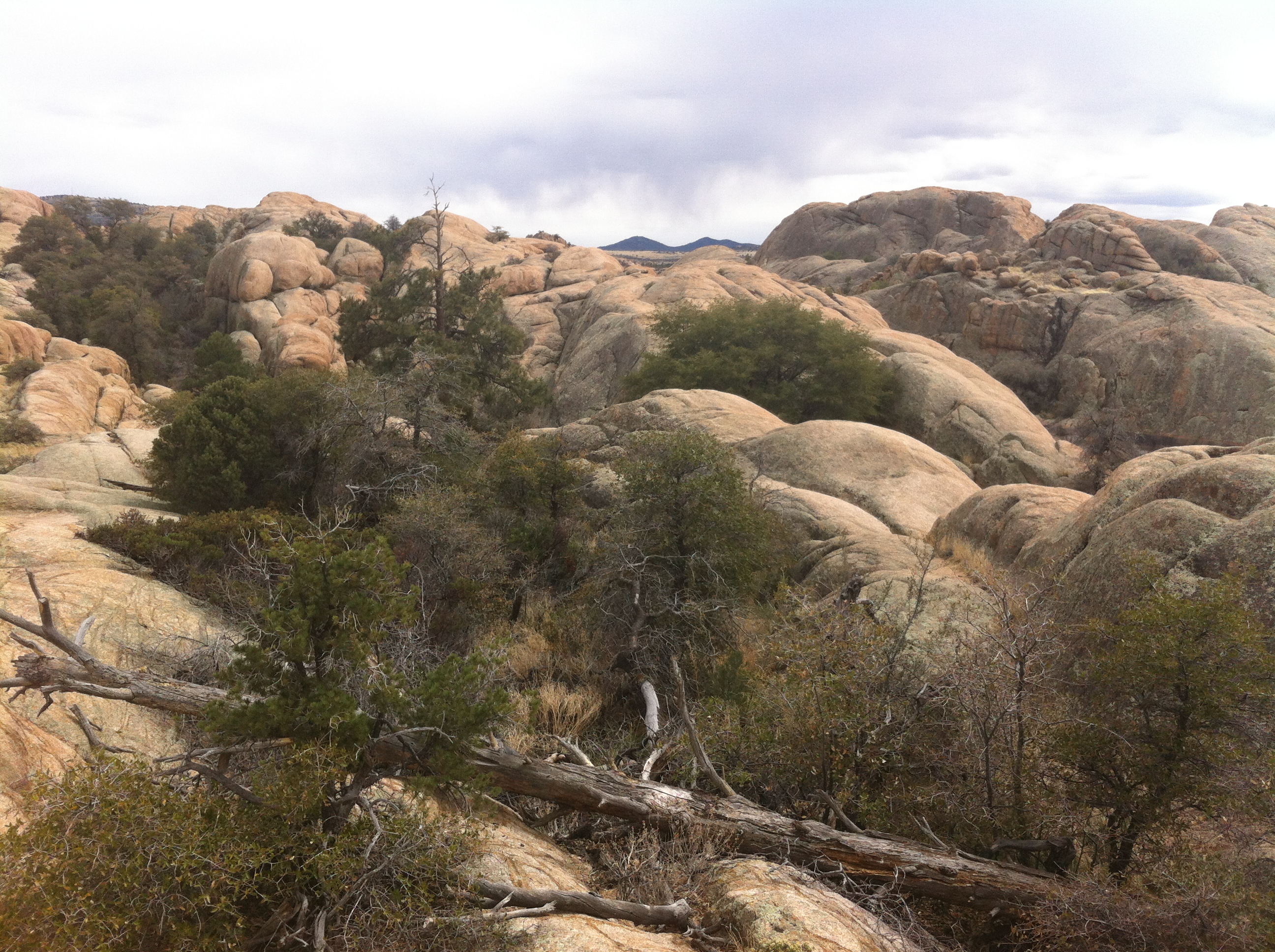
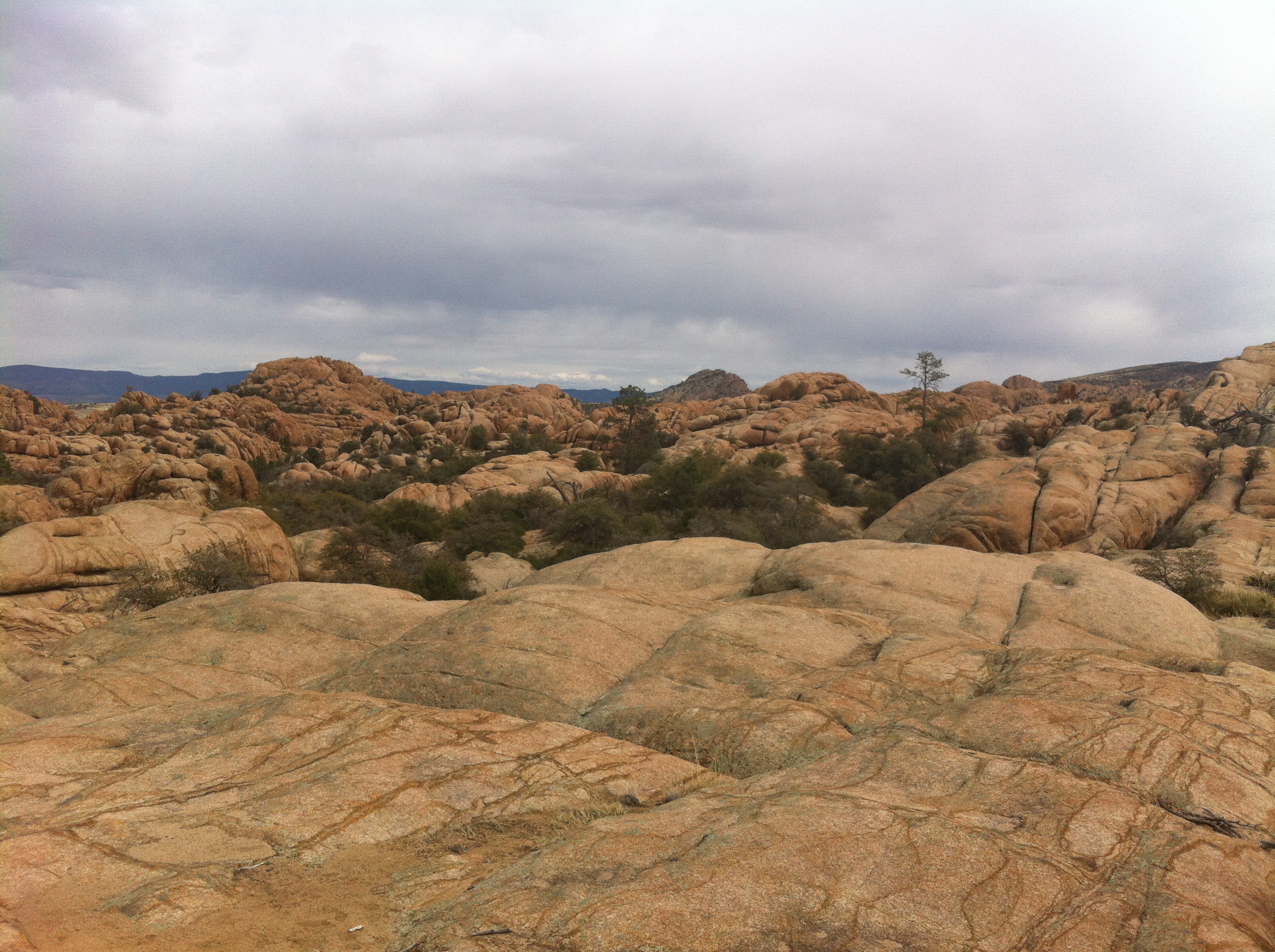
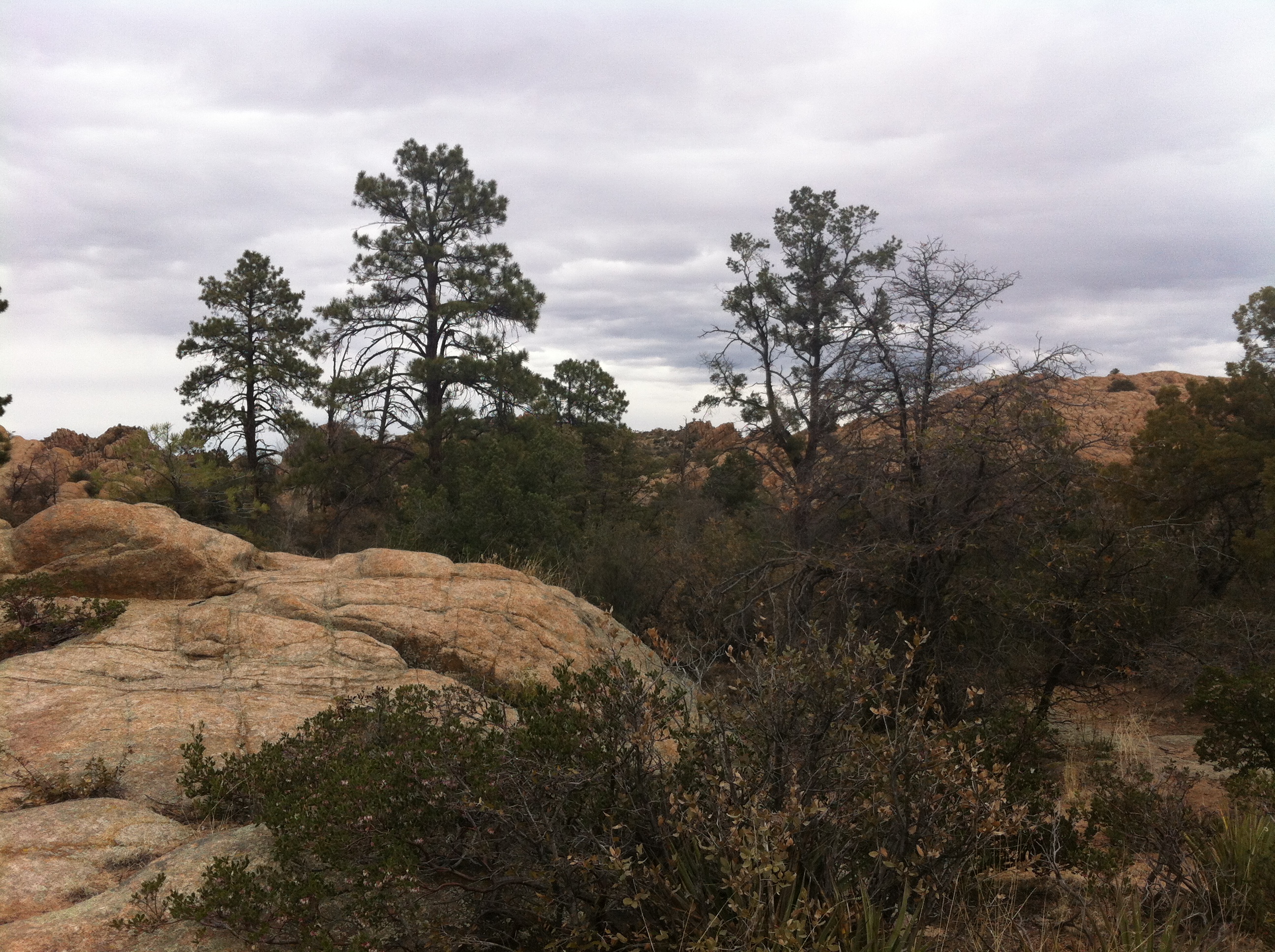
One of the amazing things about living in the mountains is how quickly the weather can change. I decided to run from my house to and up Thumb Butte. It can be reached by running up Thumb Butte Road which is a paved road that quickly climbs in elevation as it runs west toward Thumb Butte Recreation area in the Prescott National Forest.

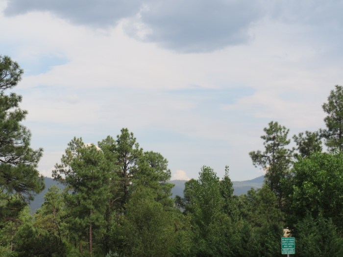
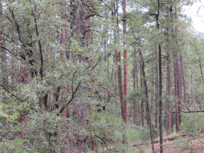
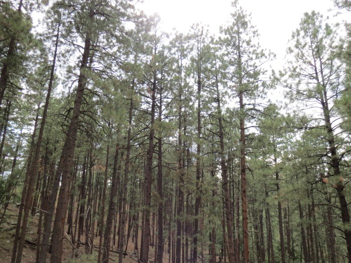
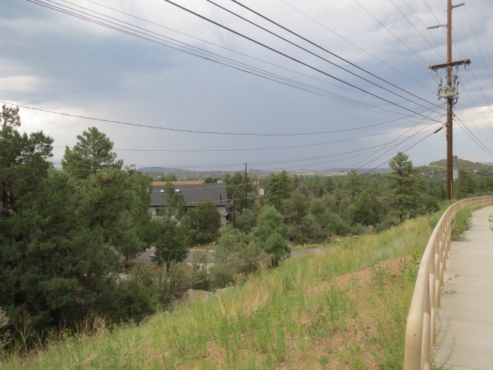
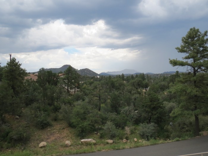
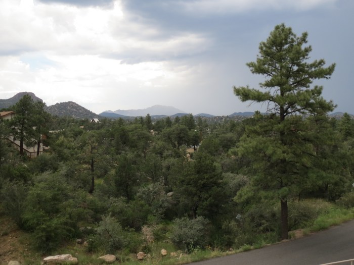
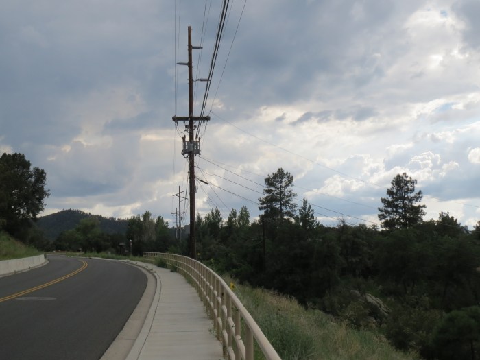
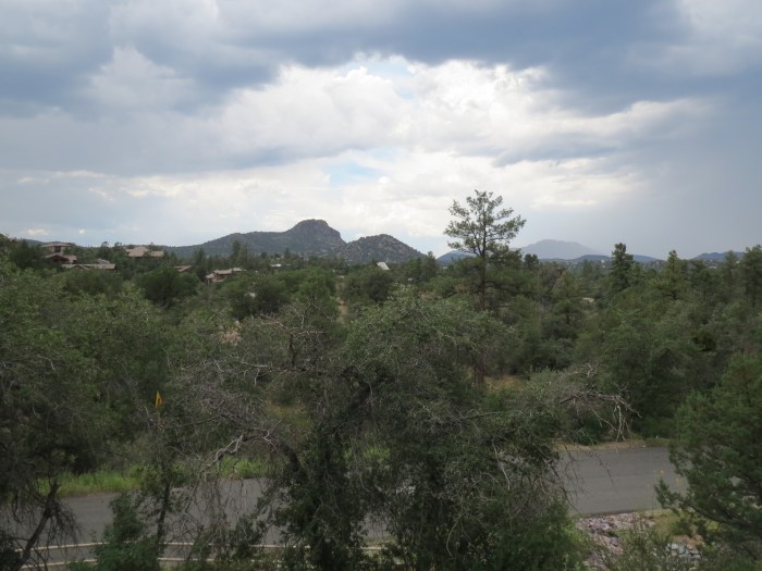
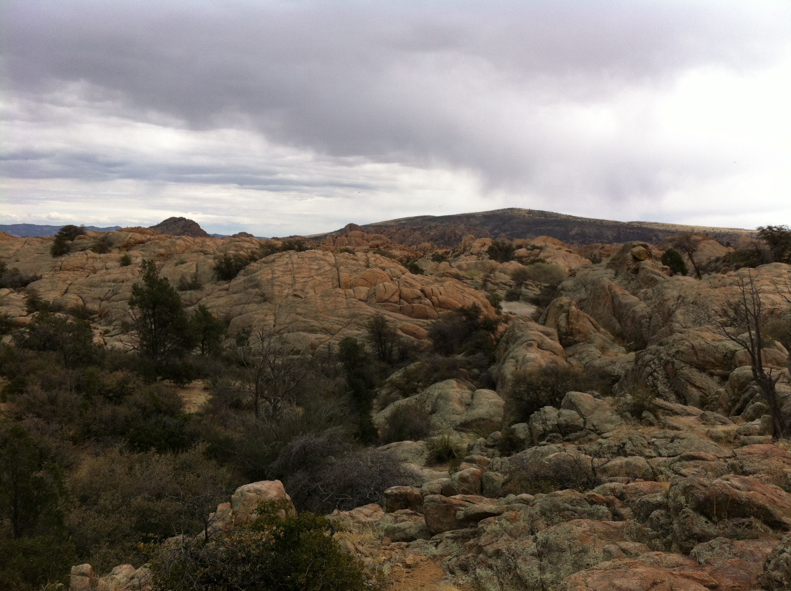
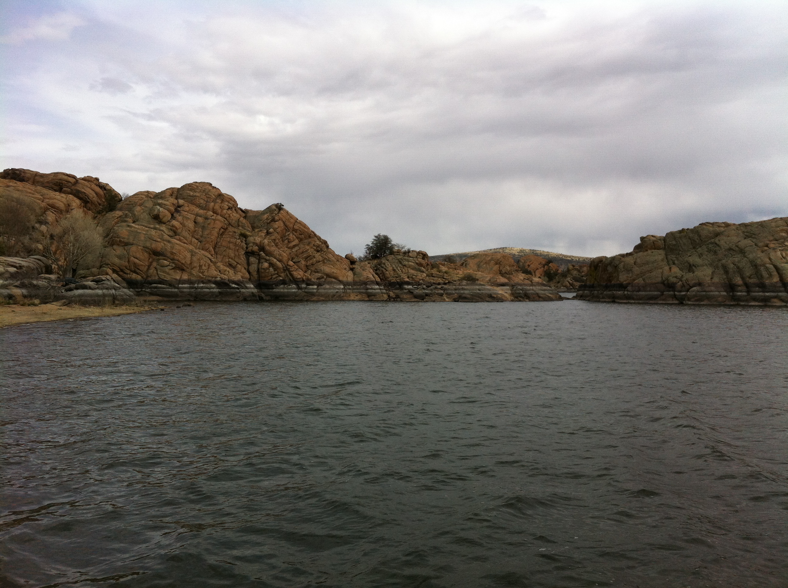
The run started with a clear sky and warm day. Once I reached the mountain, clouds started rolling in and I was in the middle of heavy monsoon rain. The trail quickly turned to mud and the temperature dropped fast. It was so much fun running up the mountain in the rain, but was hard to see as my sun glasses were blurry with all the water.

Once I started to hear the thunder and see lighting flashes I knew it was time to head back down the mountain.

thumb

IMG_0055

IMG_0058

IMG_0059

IMG_0060

IMG_0061

IMG_0062

IMG_0063

IMG_0064

IMG_0065

IMG_0066

IMG_0067

IMG_0068

IMG_0069

IMG_0070

IMG_0071

IMG_0072

IMG_0073

IMG_0074

IMG_0075

IMG_0076

IMG_0077

IMG_0078

Happy Running :)

Peavine Trail

Peavine Trail

The Peavine trail was formerly a railway path built by the Santa Fe Railway in 1893 that was converted to the Prescott Peavine National Recreation Trail. The trail has amazing views of Watson Lake and Granite Dells, as well as, wildlife viewing along the entire trail.

The trail is flat with smooth soft dirt with very few large rocks. A great trail for doing longer faster training runs.

Elevation: 5160’ (low) – 5220’ (high)
Length: 12 miles round trip
Skill Level: Beginner to Advanced (running round trip)

Screen Shot 2013-08-23 at 7.04.54 PM

photo (16)

photo (15)

photo (14)

photo (13)

photo (12)

photo (11)

photo (10)

photo (9)

photo (8)

photo (7)

photo (6)

photo (5)

photo (4)

photo (3)

photo (2)

photo (1)

photo

Happy Trail Running :)

Copper Basin Road

Copper Basin Road

I decided to take a little break from the Prescott trails with some road running to build up my capillary beds. Copper Basin runs from southwest Prescott west into the Prescott National Forest. The road is paved for the first 3 miles then turns to dirt roads as it winds up over the Sierra Prieta mountain range. This run pushes your Vo2 Max as you make a 750 elevation gain within the first 3 miles.

Screen Shot 2013-08-20 at 6.32.58 AM

IMG_0004

IMG_0005

IMG_0006

IMG_0007

IMG_0008

IMG_0011

IMG_0012

IMG_0013

IMG_0014

IMG_0016

IMG_0017

IMG_0018

IMG_0020

IMG_0021

IMG_0022

IMG_0023

IMG_0024

IMG_0025

IMG_0026

IMG_0027

IMG_0028

IMG_0029

IMG_0030

IMG_0031

IMG_0032

IMG_0033

IMG_0034

IMG_0035

IMG_0036

IMG_0038

IMG_0040

IMG_0041

IMG_0042

IMG_0043

IMG_0044

IMG_0045

IMG_0046

IMG_0047

IMG_0048

IMG_0052

IMG_0053

IMG_0054

Happy Running :-)

Rancho Vista Trail

Rancho Vista Trail

The Rancho Vista Trail is a beautiful technically challenging trail to run in southwest Prescott. The trail starts at around 5600 feet and makes a very steep accent to over 6000 feet in just under .5 miles. The Rancho Vista Trail climbs over a series of switchback trails that take you above the tree line to reveal beautiful majestic views of all of Prescott and Bradshaw mountain range.

I ran about 1.5 miles up which took me into the Prescott National forest trails, which go on for miles. The trail is so steep in parts that you are doing a slow trot or fast hike, but running back down was amazingly fast and fun, you feel like an alpine skier jumping and sliding down the mountain.

Elevation: 5680’ (low) – 6052’ (high)
Length: .6 miles (one way) + Prescott National forest trails
Skill Level: Advanced
Directions: Google Maps: Rancho Vista Trail

Rancho Vista Trail

photo

photo (1)

photo (2)

photo (3)

photo (4)

photo (5)

photo (6)

photo (7)

photo (8)

photo (9)

photo (10)

photo (11)

photo (12)

photo (13)

photo (14)

photo (15)

photo (16)

photo (17)

Happy Trail Running :)

Watson Lake Loop Trail

Watson Lake Loop Trail

The Watson Lake Loop Trail circles Watson lake through a network of connecting trail segments. The Northshore trail covers rocky steep terrain, the Over the Hill trail covers rocky and slightly more moderate terrain, and the Peavine and Lower Granite Creek Trail are flatter softer trails.

The Watson Lake Loop Trail is an amazing and challenging trail run. I started the loop at the southern part of the lake on the Lakeshore segment of the trail which is a beautiful wooded section of the trail. The trail then moves though the network of trails that traverse the large granite boulders of the Dells. This is where the trail becomes very challenging as you climb and jump across rocks as you make your accent around the northern part of Watson Lake.

Elevation: 5075’ (low) – 5237’ (high)
Length: 4.79 miles
Skill Level: Advanced

photo

photo (1)

photo (2)

photo (3)

photo (4)

photo (5)

photo (6)

photo (7)

photo (8)

photo (9)

photo (10)

photo (11)

photo (12)

photo (13)

photo (14)

photo (15)

photo (16)

photo (17)

photo (18)

photo (19)

photo (20)

photo (21)

photo (22)

photo (23)

photo (24)

photo (25)

photo (26)

photo (27)

photo (28)

photo (29)

photo (30)

Happy Trail Running :)

Willow Lake Loop Trail

Willow Lake Loop Trail

The Willow Lake Loop Trail consists of great sweeping views, technical rock hopping, steep steps, and prolific bird watching. Most of the trail is above the high water mark, but the East Bay Trail segment is not accessible at high water.

Most of the Willow Lake Trail is flat single track until you reach the Red Bridge Loops segment; which has very technical rock hopping and steep steps. Due to the recent monsoon rains the East Bay Trail segment was beautiful with large overgrown grass and amazing wild sunflowers.

Elevation: 5073’ (low) – 5225’ (high)
Length: 5.7 miles
Skill Level: Intermediate – Advanced

photo (35)

photo (36)

photo (37)

photo (38)

photo (39)

photo (40)

photo (41)

photo (42)

photo (43)

photo (44)

photo (45)

photo (46)

photo (47)

photo (50)

photo (49)

photo (48)

Happy Trail Running :)

Pioneer Park Trails

Pioneer Park Trails

The Pioneer Park Trails are a series of color-coded trails ranging in length form 1.68 miles to 6.08 that provide amazing views of Granite Mountain and the Granite Dells. The network of trails are mostly flat that traverse over large grass covered hills. The Pioneer Park Trails have great accessibility which make them very popular trails for hikers, runners, and mountain bikers.

Elevation: 5220’ (low) – 5480’ (high)
Length: 9 miles
Skill Level: Intermediate

Pioneer Park Trails

photo (33)

photo (32)

photo (31)

photo (30)

photo (29)

photo (28)

Happy Trail Running :)

Butte Creek Trail

Butte Creek Trail

The Butte Creek Trail starts at Stricklin Forest Park on Sherwood Drive. This trail parallels Butte Creek, westbound to the Prescott National Forest, and runs partially through a scenic canyon. The City portion is 1.3 miles, but the trail connects into the larger trail system of the Prescott National Forest.

The trail is a very technical trail run with large boulders and sharp rocks to navigate as you make your accent though the canyon toward the Prescott National Forest. The trail was a bit overgrown due to the recent monsoon rails and a rattle snake warned me I was coming to close in Prescott National Forest section of the trail, so watch your steps!

Elevation: 5508’ (low) – 5788’ (high)
Length: 2.6 miles (round trip)
Skill Level: Advanced

photo (13)

Screen Shot 2013-07-31 at 12.49.37 PM

photo (26)

photo (14)

photo (17)

photo (16)

photo (15)

photo (24)

photo (23)

photo (21)

photo (20)

photo (19)

photo (18)

Happy Trail Running :-)

Sierra Prieta Overlook

Sierra Prieta Overlook

The Sierra Prieta Overlook is a lookout point that is part of the Sierra Prieta mountain range in central-northwest Arizona. The range is the mountainous region west of Prescott, with a notable Thumb Butte, 6,514 feet, a volcanic plug, on the city’s west perimeter.

The run starts at Rancho Vista Drive & Copper Basin Road, from there you follow Copper Basin Rd till you reach Thumb Butte Road which from there takes you to the overlook. The run follows rocky forest service roads over an 1,233ft elevation gain in just 4.5 miles. This route is also one of the toughest parts of the Whiskey Row Marathon.

Elevation: 7,000 feet
Length: 9 miles (round trip)
Skill Level: Advanced

SP

photo1

photo2

photo3

photo4

photo7

photo6

photo5

Happy Trail Running :-)

Thumb Butte Trail

Thumb Butte Trail

The Thumb Butte Trail climbs steeply to a ridge just below the rocky crest of Thumb Butte. Here, Groom Creek Vista offers spectacular panoramic views of the Prescott area, Bradshaw Mountains, Sierra Prieta Mountains, Granite Mountain, Mingus Mountain, and, on clear days, the San Francisco Peaks. During certain times of the year, peregrine falcons nest on the rugged basalt crags of Thumb Butte.

The Thumb Butte Trail quickly pushes you up against your VO2 max with a roughly a 650ft elevation gain in just under 2 miles.

Elevation: 6,314 feet
Length: 2.1 miles
Skill Level: Advanced

photo (2)

photo (12)

photo (10)

photo (3)

photo (4)

photo (5)

photo (6)

photo (7)

Happy Trail Running :)

Acker Park Trails

Acker Park Trails

Acker Park is a hidden jewel in the heart of Prescott, located 5 blocks from the historic downtown courthouse plaza. This open space park consists of approximately 80 acres of natural parkland.

The trails are fairly flat with softer soil that makes the trail easier and fast. The Acker Park Trails are the most accessible of the Mile-High Trail System from the city of Prescott. With makes these trails a great daily quick trail run.

Elevation: 5480’ (low) – 5630’ (high)
Length: 1.5 mi.
Skill Level: Intermediate

photo4

photo

photo1

photo2

photo3

carlos_acker

Happy Trail Running :-)

Centennial Trail

Centennial Trail

Next up on my trail running exploration of Prescott was the Centennial Trail. This trail was built in 2012 in recognition to the 100th birthdate of the State of Arizona. The Centennial Trail meanders through the boulders and canyons, with panoramic views of the City of Prescott, Rodeo Grounds, Thumb Butte, and Granite Mountain. Petroglyphs are a feature of the trail.

This trail is another very technical trail that has been cut as a narrow corridor, snaking it’s way through the maze of giant boulders in a deeply fractured landscape. Once you get relaxed and comfortable with the trail you can run it fairly quickly since it increases and decreases elevation throughout the entire route.

Elevation: 5447’ (low) – 5729’ (high)
Length: 2.0 mi.
Skill Level: Advanced

photo

photo (1)

photo4

photo3

photo2

Constellation Trails

Constellation Trails

I started my trail running exploration of the Prescott Mile-High Trail System with the Constellation Trails. The trail presents beautiful rock formations and scrub oak passageways. It is very technical with large boulders to navigate as well as sharp rocks along the trail.

Elevation: 5016’ (low) – 5229’ (high)
Length: 2.74 mi.
Skill Level: Advanced

photo2

photo5

photo

photo3

photo7

photo6

Happy Trail Running :-)

Hello Mountains

Hello Mountains

My family and I just completed our move from Phoenix to the small beautiful mountain community of Prescott, AZ

Prescottscenic

The Mile-High Trail System has 48 miles city trails and The Prescott National Forest provide over 848 miles of trails with elevations ranging between 5,000 to 8,000 feet. Over the coming months I will be exploring and documenting all of these great trails.

carlos_acker

Happy trail running :-)

Running Homestead Trail of Lynx Lake

Running Homestead Trail of Lynx Lake

Last weekend we spent another weekend in the mountains camping and trail running. This trip we spent it in the Ponderosa pine and oak forest of central Arizona.

One of my favorite trails is the Homestead Trail of Lynx Lake Recreation Area which offers sweeping vistas of the pine-covered Bradshaw Mountains. The trail has an elevation of 6,065 feet and crosses a number of intermittent streams where wild rose and columbine flowers grow beside the creek bed. Many of the rock types exposed along the trail are metamorphic varieties similar to what one finds in the lower reaches of the Grand Canyon.

IMG_0456

IMG_0455

IMG_0453

IMG_0450

IMG_0449

IMG_0447

IMG_0444

IMG_0439

IMG_0438

IMG_0432

IMG_0428

IMG_0427

Happy Running :-)

Whiskey Row Marathon 2013

Whiskey Row Marathon 2013

photo

On Saturday May 4, 2013 I ran the 35th Annual Whiskey Row Marathon with a finishing time of 4:52:13. It was beautiful day with clear sunny skies and cool mountain breezes blowing throughout the forest.

The race was very challenging both physically and mentally. With 16 miles of the running route being a trail race and a total elevation gain of 4,400 feet, reaching a peak altitude of 7,000 feet made this a much harder race than the Sedona Marathon .

I learned two important things from the Sedona Marathon; 1) that it is very important to focus on maintaining a consistent pace throughout the entire race; and 2) ensure that I monitor my glucose levels to prevent from bonking. This meant for this race not to run to fast early in the race and to keep my sugar levels up by consuming plenty of bananas, orange slices, and energy drinks. Both of which helped me deal with the the very steep mountain ascents, as you can see from the elevation profile below.

Screen Shot 2013-05-06 at 12.34.28 PM

Screen Shot 2013-05-06 at 8.59.33 PM

My wife ran the very challenging 10k race this year and did an amazing job with a finishing time of 1:08.

wiskey_row_2013

Happy Running :-)

Willow Lake Trails of Prescott

I spent the Easter holiday weekend in my beautiful home town of Prescott, AZ. It was great to spend time with family, but I was also able to spend some time running the trails and mountains. Prescott has over 250 miles of trails, but one of my favorite spots is the trails around Willow Lake. These trails a very technical and include both a large amount boulders and steep climbs. It also offers amazing views of Granite Dells

IMG_0252

IMG_0249

IMG_0192

IMG_0183

IMG_0256

IMG_0197

IMG_0251

IMG_0250

IMG_0200

Happy Running :-)