Season of the trail

Season of the trail

One of amazing things of living in a small mountain community filled with endless trails is with the change of each season a new trail is born. Now that winter is here the rocky very technical trails of the summer are reborn into amazingly fast trails that feel more like skiing than trail running. One such trail is the Centennial Trail.

IMG_0624

IMG_0626

IMG_0628

IMG_0629

IMG_0630

IMG_0632

IMG_0634

IMG_0638

IMG_0640

IMG_0644

IMG_0649

IMG_0650

IMG_0651

IMG_0652

IMG_0655

IMG_0656

IMG_0659

IMG_0660

IMG_0661

IMG_0662

IMG_0666

IMG_0667

IMG_0668

IMG_0669

IMG_0670

IMG_0672

IMG_0674

IMG_0676

IMG_0681

IMG_0682

IMG_0683

IMG_0684

IMG_0687

IMG_0689

IMG_0690

IMG_0692

IMG_0693

IMG_0694

IMG_0695

IMG_0696

IMG_0697

IMG_0706

IMG_0707

IMG_0708

IMG_0709

IMG_0710

IMG_0714

Happy Trail Running :-)

Aspen Creek Trail

Aspen Creek Trail

Now that I have ran the majority of the Mile High Trail System trails I have been having fun combining the trails to make more interesting runs. One of my frequent trail runs combines Aspen Creek Trail and Butte Creek Trail.

Aspen Creek Trail is a very technical one mile trail that follows a portion of Aspen Creek while paralleling the Hassayampa golf course. Like the Butte Creek Trail this trail is a very technical trail run with large boulders and sharp rocks to navigate as you make your accent up toward Hassayampa Village Ln. Once you reach the road you make a short decent toward Stricklin Park to connect to the Butte Creek Trail.

Elevation: 5500’ (low) – 5600’ (high)
Length: 2 miles (round trip)
Skill Level: Advanced

I live in west Prescott (1 mile from Aspen Creek Trail) so overall from my home these two trails are a nice 7 mile round trip run.

aspen_to_butte_creek

IMG_0459

IMG_0461

IMG_0464

IMG_0467

IMG_0468

IMG_0470

IMG_0471

IMG_0472

IMG_0473

IMG_0474

IMG_0475

IMG_0477

IMG_0479

IMG_0480

IMG_0481

IMG_0484

IMG_0485

IMG_0487

IMG_0489

IMG_0491

IMG_0494

IMG_0495

IMG_0496

IMG_0497

IMG_0498

IMG_0500

Happy Trail Running :)

Granite Gardens Trails

Granite Gardens Trails

Granite Gardens Trails is a network of trails with steep ups and downs. It mixes trail running, hiking, and bouldering with amazing views of the Granite Dells.

Elevation: 5,046’ ft (low) – 5,175’ ft (high)
Length: 1.5 mi
Skill Level: Advanced
Directions: Google Map Driving Directions
Directions

photo (1)

photo (2)

photo (3)

photo (4)

photo (5)

photo (6)

photo (7)

photo (9)

photo (10)

photo (11)

photo (12)

photo (13)

photo (14)

photo (15)

photo (16)

photo (17)

photo (18)

photo (19)

photo (20)

photo (21)

photo (22)

photo (23)

photo (24)

photo (25)

photo (26)

photo (27)

photo (28)

Happy Trail Running / Bouldering :)

Jan Alfano to Willow Lake Trails

Jan Alfano to Willow Lake Trails

The Jan Alfano Trail is a part of a network of trails in northwest Prescott. The Jan Alfano Trail is a short switchback single track trail that connects to part of the larger Prescott Circle Trail. This trail is a large double track that runs along a narrow mesa. The Prescott Circle Trail connects to the Embry Riddle Trail which is another switchback track trail that drops down off the mesa under Willow Lake Road to connect to the Willow Lake Trails.

The network of trails provide amazing views of Granite Mountain, Thumb Butte, Granite Dells, and Willow Lake.

Elevation: 5120’ (low) – 5260’ (high)
Length: 4.5 miles round trip
Skill Level: Intermediate
Directions: Google Map Driving Directions

Directions

Screen Shot 2013-09-09 at 7.43.11 PM

IMG_0159

IMG_0161

IMG_0162

IMG_0164

IMG_0167

IMG_0168

IMG_0169

IMG_0171

IMG_0172

IMG_0173

IMG_0175

IMG_0176

IMG_0177

IMG_0179

IMG_0180

IMG_0182

IMG_0183

IMG_0184

IMG_0188

IMG_0189

IMG_0191

IMG_0192

IMG_0194

IMG_0195

IMG_0196

IMG_0198

IMG_0199

IMG_0200

IMG_0201

IMG_0204

IMG_0208

IMG_0209

IMG_0225

IMG_0210

Happy Trail Running :)

Vista Park Trails

Vista Park Trails

The Vista Park Trails System is a network of trails in the Prescott Lakes Community of northern Prescott. The trails are comprised of the Vista Trail, Panorama Trail, and Petroglyph Trail. The trails are very technical to run with sharp rocks and large boulders as you navigate to the top of the mesa.

The Vista Trail is a 6 ft wide trail which connects to the Panorama Trail. Once you reach the Panorama Trail it is a single track trail that climbs steadily up towards a mesa. The trail then intersects Solstice Dr, which is a short steep road climb that connects to the Petroglyph Trail. The Petroglyph Trail climbs the remainder of the way to the mesa top, where you can find unprecedented views of northern Prescott and a petroglyph site.

Elevation: 5200’ (low) – 5470’ (high)
Length: 2.5 miles round trip
Skill Level: Advanced
Directions: Downtown Prescott to Vista Park
directions

vista

IMG_0080

IMG_0088

IMG_0098

IMG_0102

IMG_0104

IMG_0105

IMG_0106

IMG_0107

IMG_0108

IMG_0113

IMG_0114

IMG_0115

IMG_0116

IMG_0118

IMG_0122

IMG_0127

IMG_0139

IMG_0140

IMG_0149

IMG_0151

IMG_0152

Happy Trail Running :)

Peavine Trail

Peavine Trail

The Peavine trail was formerly a railway path built by the Santa Fe Railway in 1893 that was converted to the Prescott Peavine National Recreation Trail. The trail has amazing views of Watson Lake and Granite Dells, as well as, wildlife viewing along the entire trail.

The trail is flat with smooth soft dirt with very few large rocks. A great trail for doing longer faster training runs.

Elevation: 5160’ (low) – 5220’ (high)
Length: 12 miles round trip
Skill Level: Beginner to Advanced (running round trip)

Screen Shot 2013-08-23 at 7.04.54 PM

photo (16)

photo (15)

photo (14)

photo (13)

photo (12)

photo (11)

photo (10)

photo (9)

photo (8)

photo (7)

photo (6)

photo (5)

photo (4)

photo (3)

photo (2)

photo (1)

photo

Happy Trail Running :)

Rancho Vista Trail

Rancho Vista Trail

The Rancho Vista Trail is a beautiful technically challenging trail to run in southwest Prescott. The trail starts at around 5600 feet and makes a very steep accent to over 6000 feet in just under .5 miles. The Rancho Vista Trail climbs over a series of switchback trails that take you above the tree line to reveal beautiful majestic views of all of Prescott and Bradshaw mountain range.

I ran about 1.5 miles up which took me into the Prescott National forest trails, which go on for miles. The trail is so steep in parts that you are doing a slow trot or fast hike, but running back down was amazingly fast and fun, you feel like an alpine skier jumping and sliding down the mountain.

Elevation: 5680’ (low) – 6052’ (high)
Length: .6 miles (one way) + Prescott National forest trails
Skill Level: Advanced
Directions: Google Maps: Rancho Vista Trail

Rancho Vista Trail

photo

photo (1)

photo (2)

photo (3)

photo (4)

photo (5)

photo (6)

photo (7)

photo (8)

photo (9)

photo (10)

photo (11)

photo (12)

photo (13)

photo (14)

photo (15)

photo (16)

photo (17)

Happy Trail Running :)

Watson Lake Loop Trail

Watson Lake Loop Trail

The Watson Lake Loop Trail circles Watson lake through a network of connecting trail segments. The Northshore trail covers rocky steep terrain, the Over the Hill trail covers rocky and slightly more moderate terrain, and the Peavine and Lower Granite Creek Trail are flatter softer trails.

The Watson Lake Loop Trail is an amazing and challenging trail run. I started the loop at the southern part of the lake on the Lakeshore segment of the trail which is a beautiful wooded section of the trail. The trail then moves though the network of trails that traverse the large granite boulders of the Dells. This is where the trail becomes very challenging as you climb and jump across rocks as you make your accent around the northern part of Watson Lake.

Elevation: 5075’ (low) – 5237’ (high)
Length: 4.79 miles
Skill Level: Advanced

photo

photo (1)

photo (2)

photo (3)

photo (4)

photo (5)

photo (6)

photo (7)

photo (8)

photo (9)

photo (10)

photo (11)

photo (12)

photo (13)

photo (14)

photo (15)

photo (16)

photo (17)

photo (18)

photo (19)

photo (20)

photo (21)

photo (22)

photo (23)

photo (24)

photo (25)

photo (26)

photo (27)

photo (28)

photo (29)

photo (30)

Happy Trail Running :)

Willow Lake Loop Trail

Willow Lake Loop Trail

The Willow Lake Loop Trail consists of great sweeping views, technical rock hopping, steep steps, and prolific bird watching. Most of the trail is above the high water mark, but the East Bay Trail segment is not accessible at high water.

Most of the Willow Lake Trail is flat single track until you reach the Red Bridge Loops segment; which has very technical rock hopping and steep steps. Due to the recent monsoon rains the East Bay Trail segment was beautiful with large overgrown grass and amazing wild sunflowers.

Elevation: 5073’ (low) – 5225’ (high)
Length: 5.7 miles
Skill Level: Intermediate – Advanced

photo (35)

photo (36)

photo (37)

photo (38)

photo (39)

photo (40)

photo (41)

photo (42)

photo (43)

photo (44)

photo (45)

photo (46)

photo (47)

photo (50)

photo (49)

photo (48)

Happy Trail Running :)

Pioneer Park Trails

Pioneer Park Trails

The Pioneer Park Trails are a series of color-coded trails ranging in length form 1.68 miles to 6.08 that provide amazing views of Granite Mountain and the Granite Dells. The network of trails are mostly flat that traverse over large grass covered hills. The Pioneer Park Trails have great accessibility which make them very popular trails for hikers, runners, and mountain bikers.

Elevation: 5220’ (low) – 5480’ (high)
Length: 9 miles
Skill Level: Intermediate

Pioneer Park Trails

photo (33)

photo (32)

photo (31)

photo (30)

photo (29)

photo (28)

Happy Trail Running :)

Butte Creek Trail

Butte Creek Trail

The Butte Creek Trail starts at Stricklin Forest Park on Sherwood Drive. This trail parallels Butte Creek, westbound to the Prescott National Forest, and runs partially through a scenic canyon. The City portion is 1.3 miles, but the trail connects into the larger trail system of the Prescott National Forest.

The trail is a very technical trail run with large boulders and sharp rocks to navigate as you make your accent though the canyon toward the Prescott National Forest. The trail was a bit overgrown due to the recent monsoon rails and a rattle snake warned me I was coming to close in Prescott National Forest section of the trail, so watch your steps!

Elevation: 5508’ (low) – 5788’ (high)
Length: 2.6 miles (round trip)
Skill Level: Advanced

photo (13)

Screen Shot 2013-07-31 at 12.49.37 PM

photo (26)

photo (14)

photo (17)

photo (16)

photo (15)

photo (24)

photo (23)

photo (21)

photo (20)

photo (19)

photo (18)

Happy Trail Running :-)

Acker Park Trails

Acker Park Trails

Acker Park is a hidden jewel in the heart of Prescott, located 5 blocks from the historic downtown courthouse plaza. This open space park consists of approximately 80 acres of natural parkland.

The trails are fairly flat with softer soil that makes the trail easier and fast. The Acker Park Trails are the most accessible of the Mile-High Trail System from the city of Prescott. With makes these trails a great daily quick trail run.

Elevation: 5480’ (low) – 5630’ (high)
Length: 1.5 mi.
Skill Level: Intermediate

photo4

photo

photo1

photo2

photo3

carlos_acker

Happy Trail Running :-)

Centennial Trail

Centennial Trail

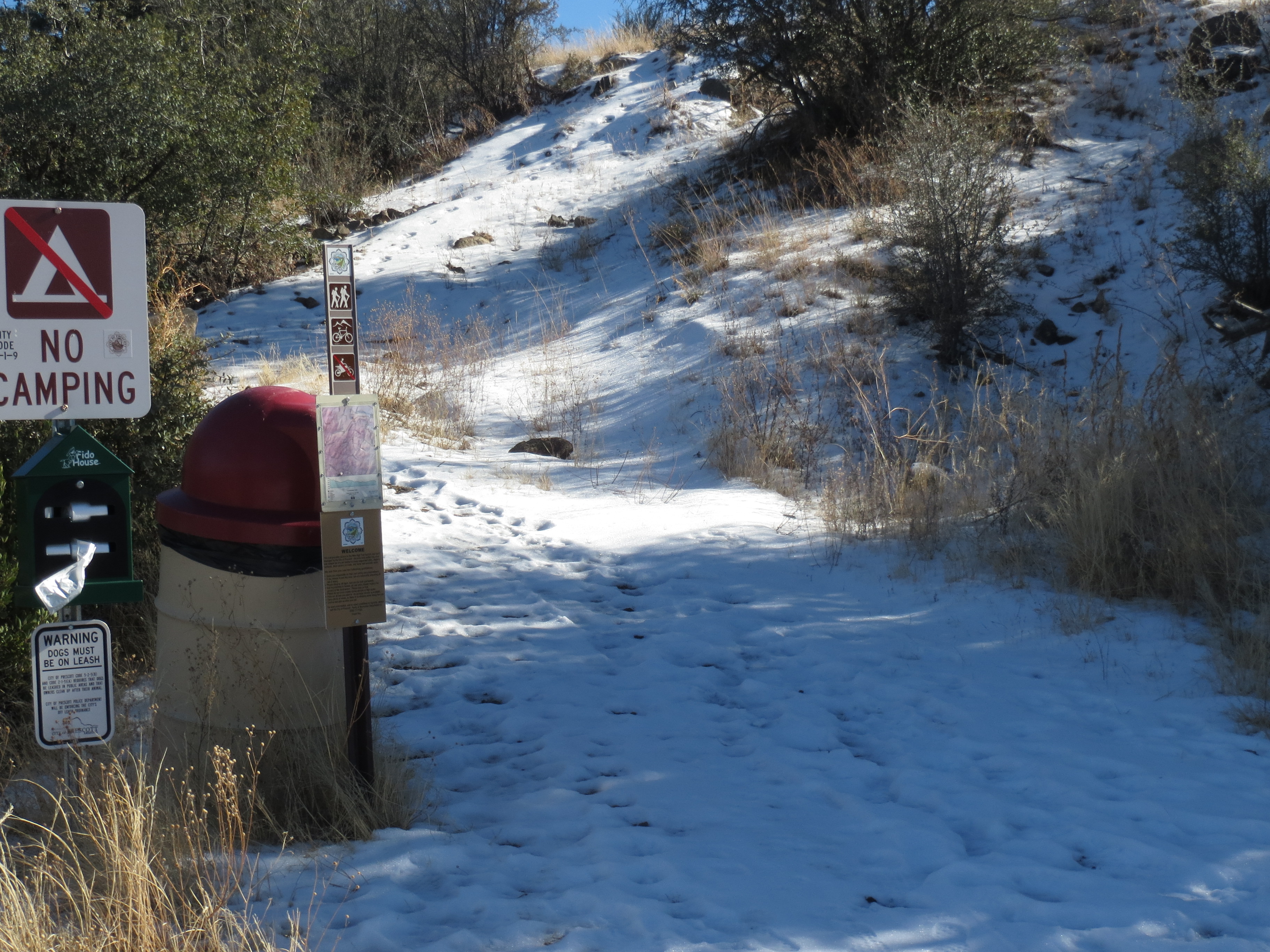
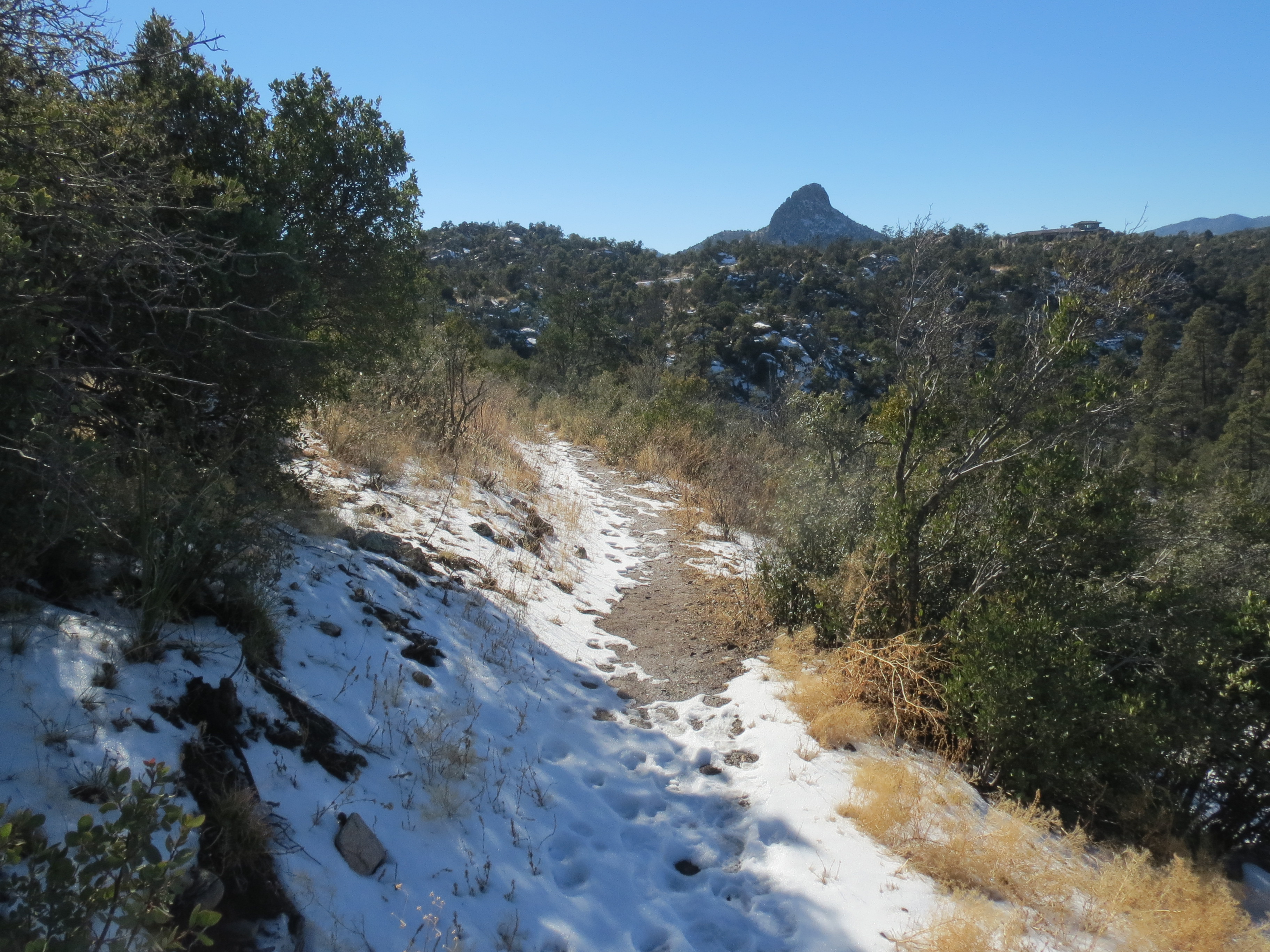
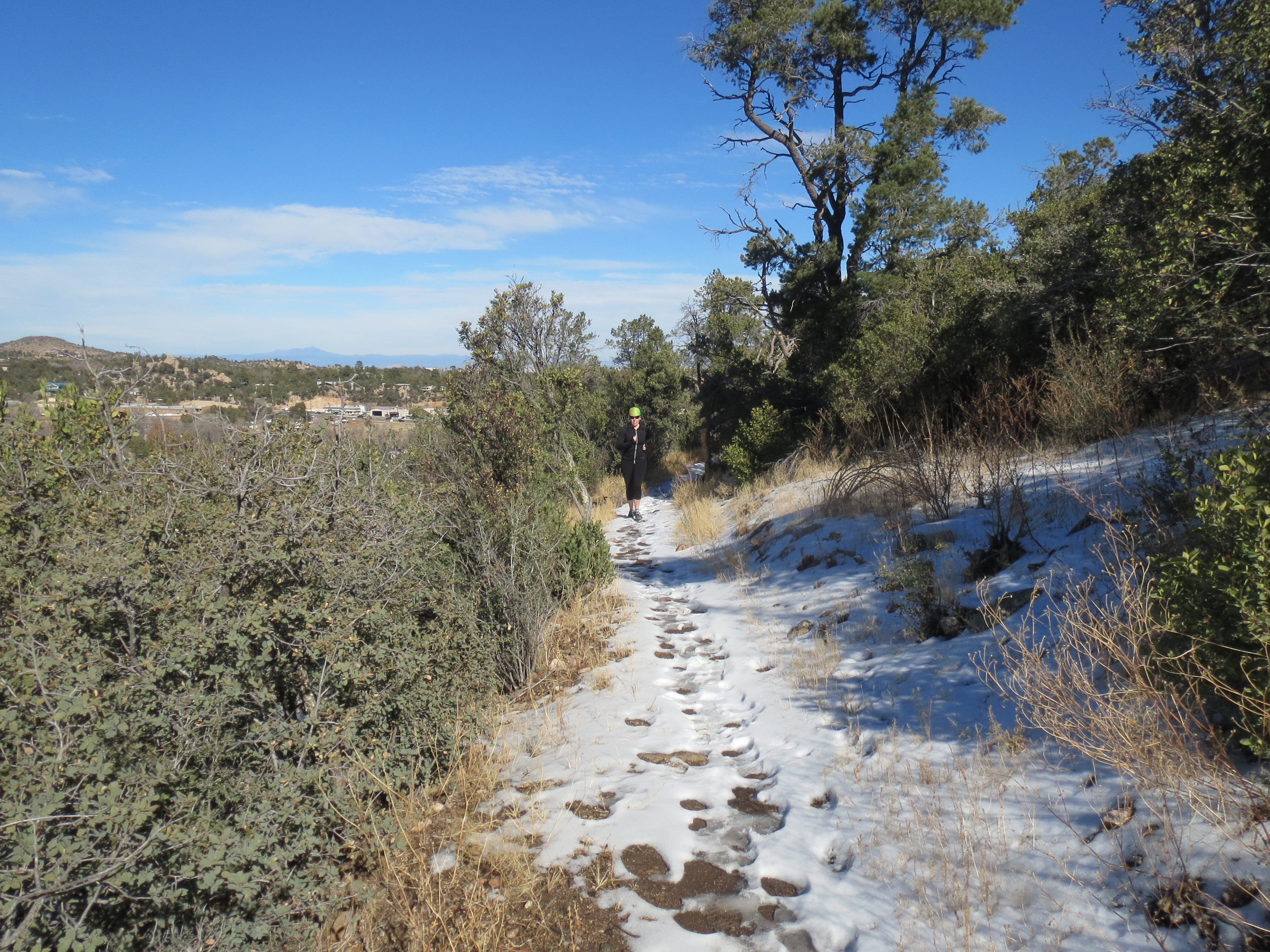
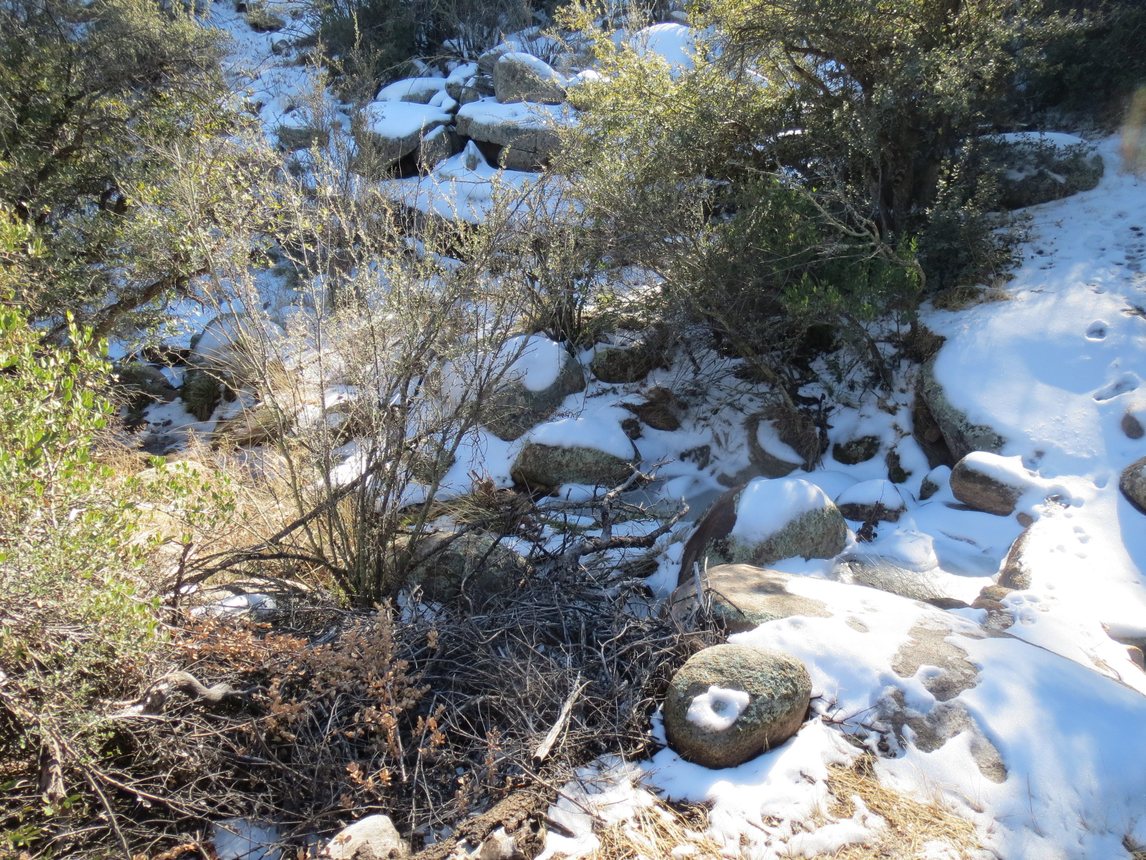
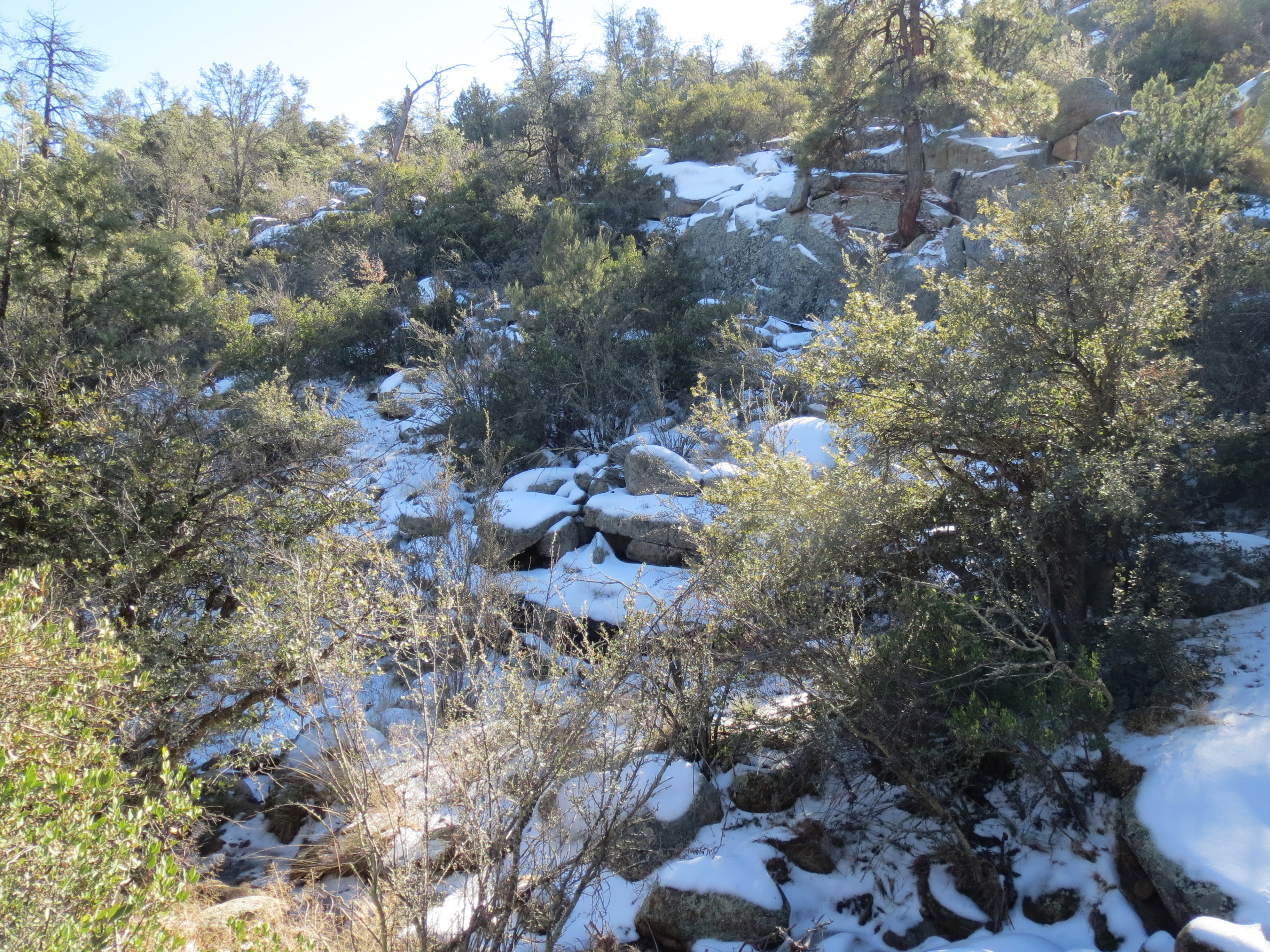
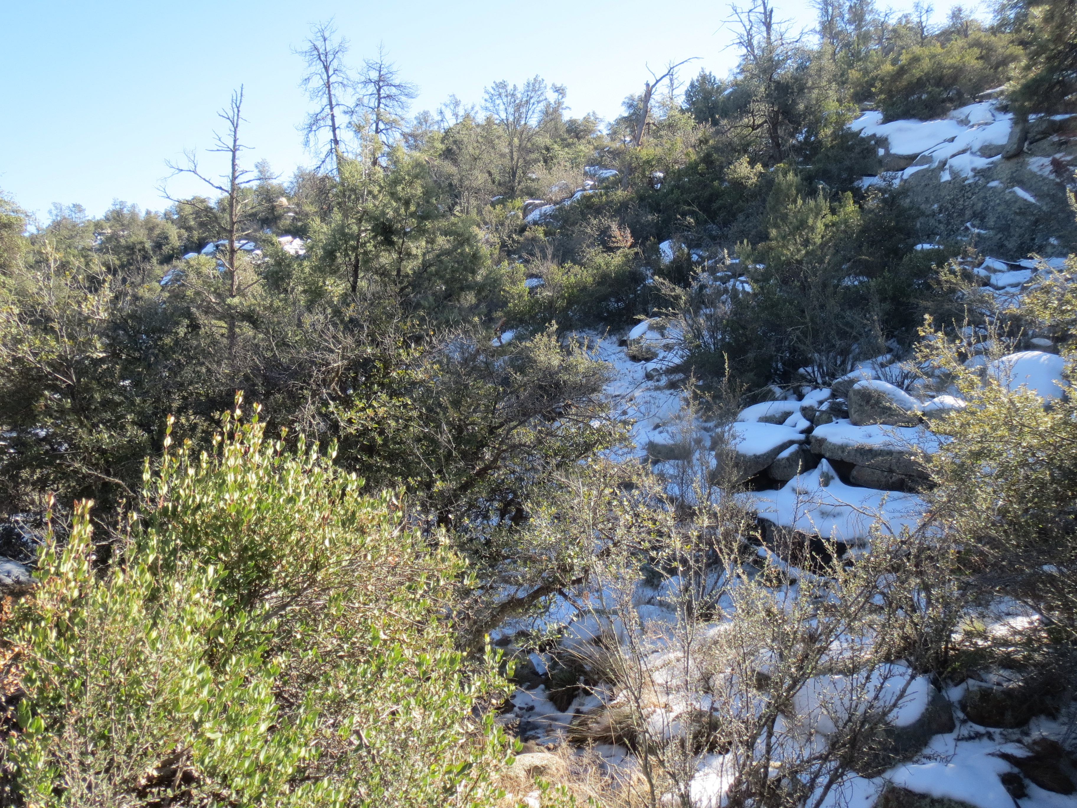
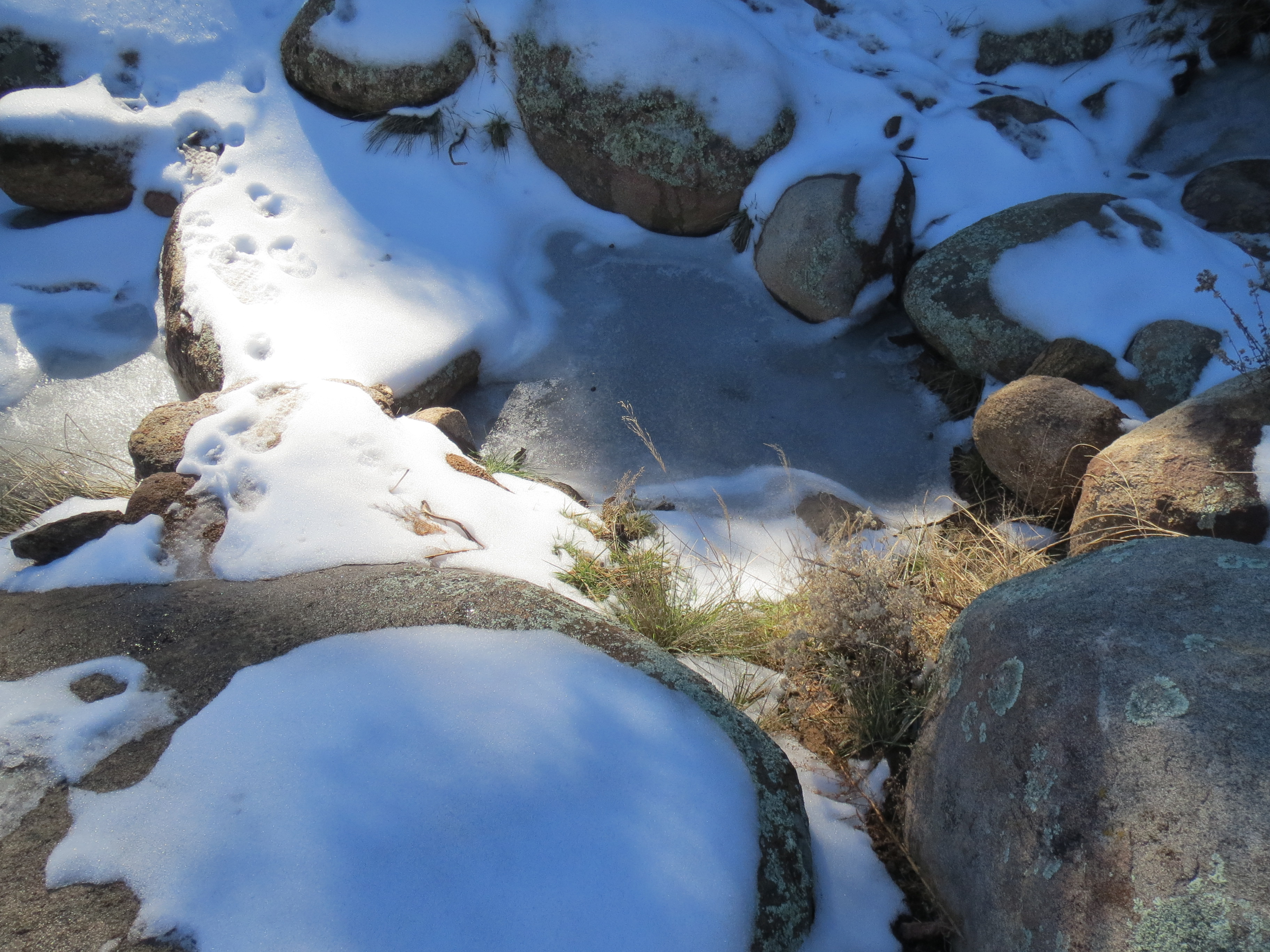
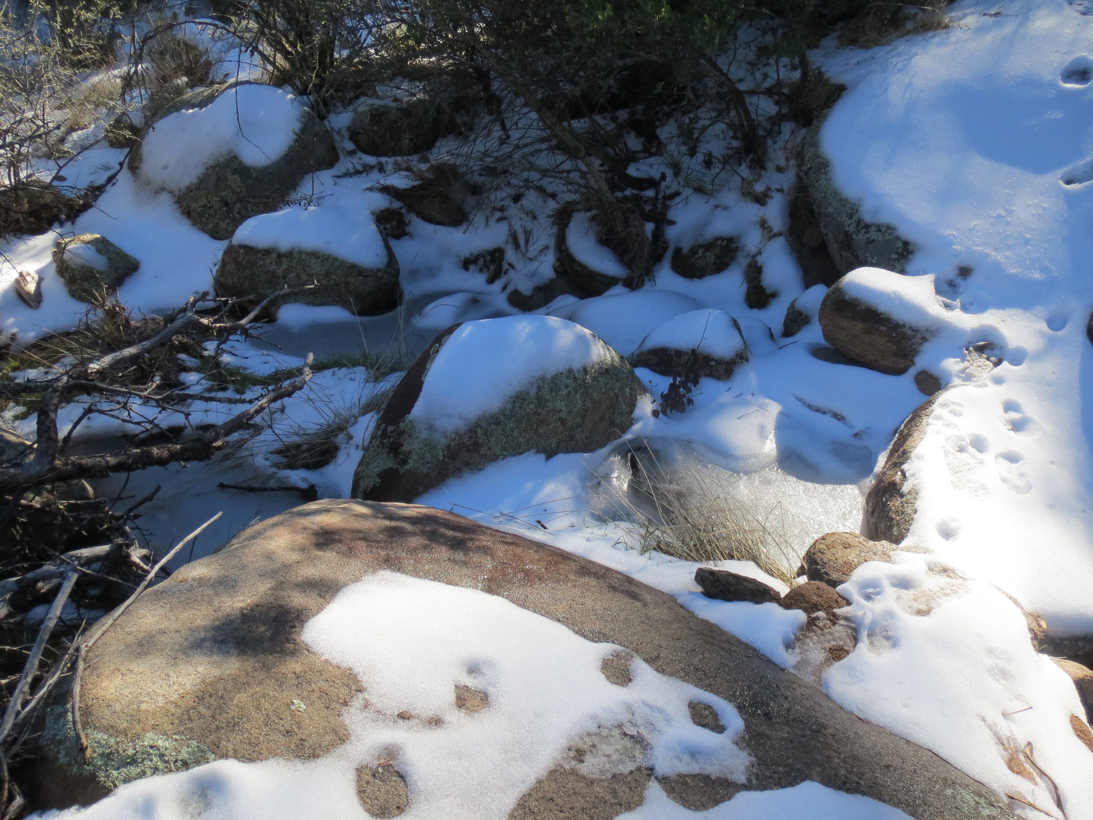
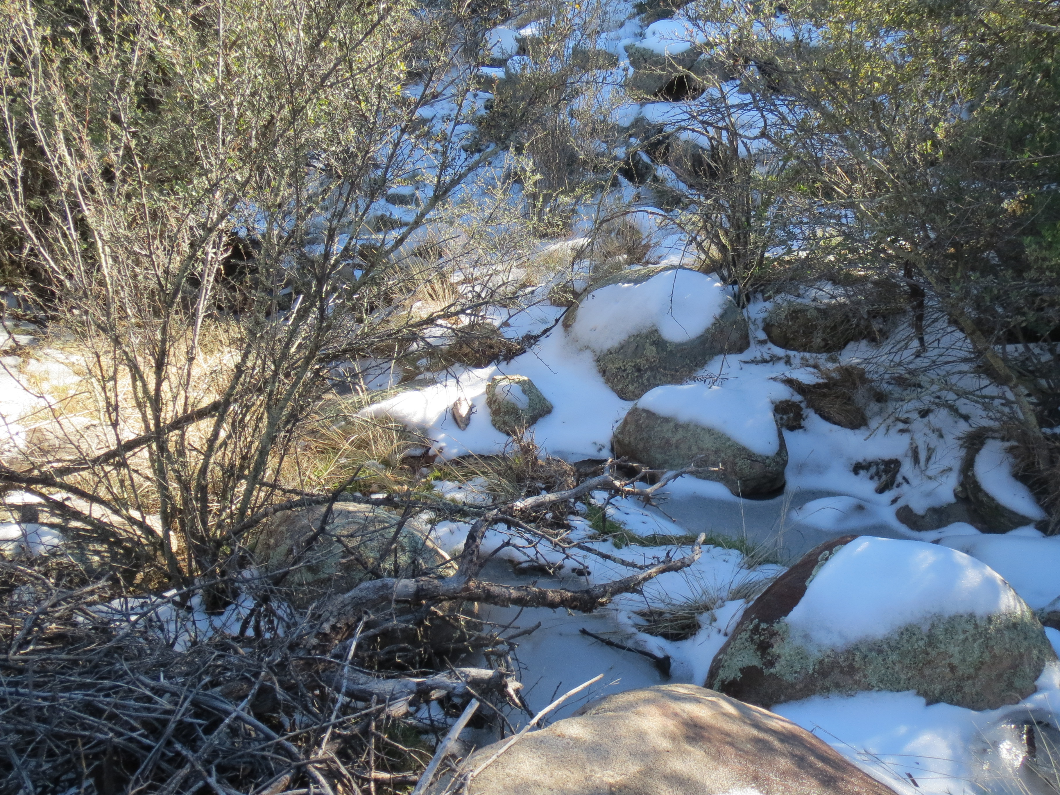
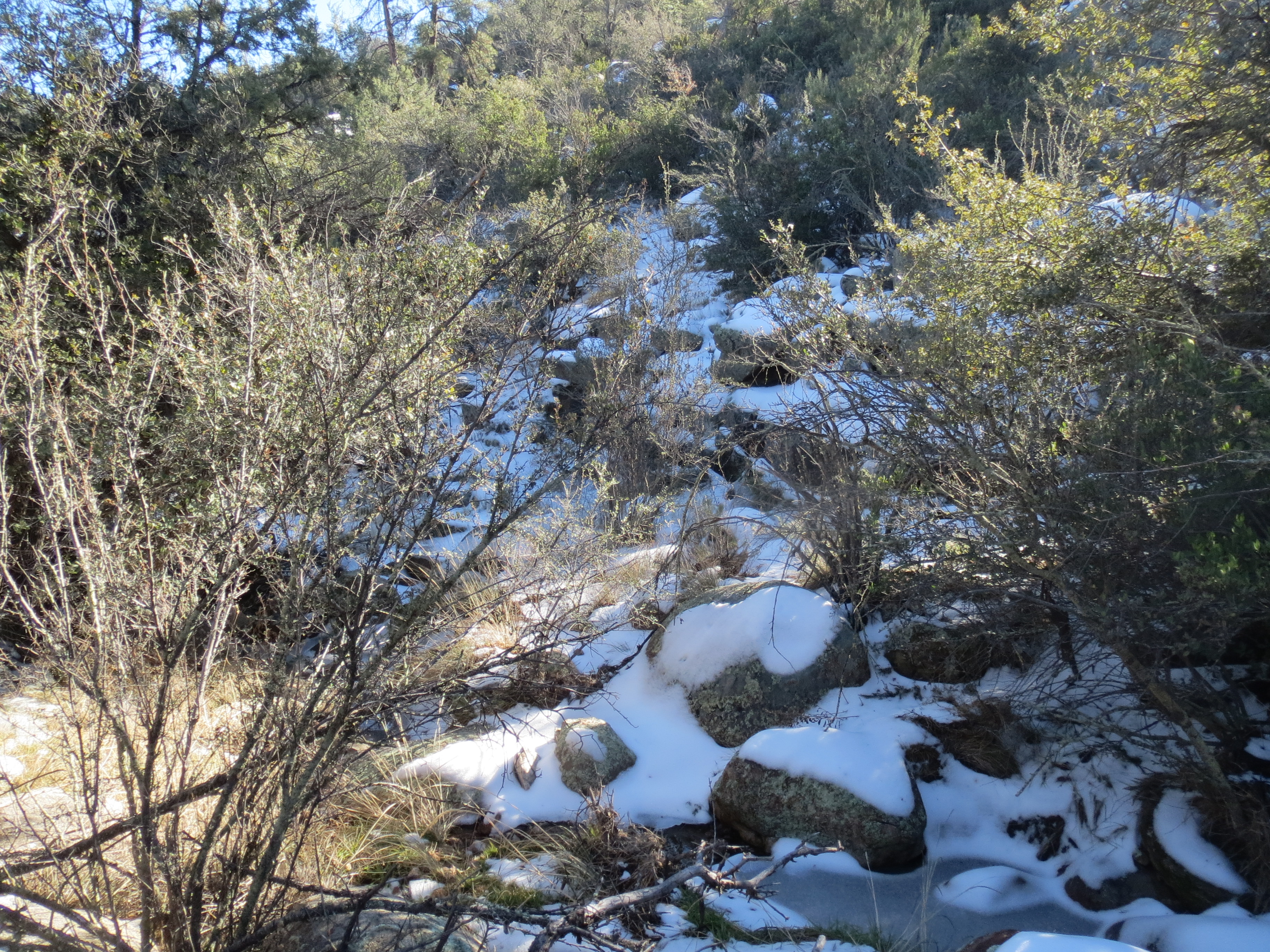
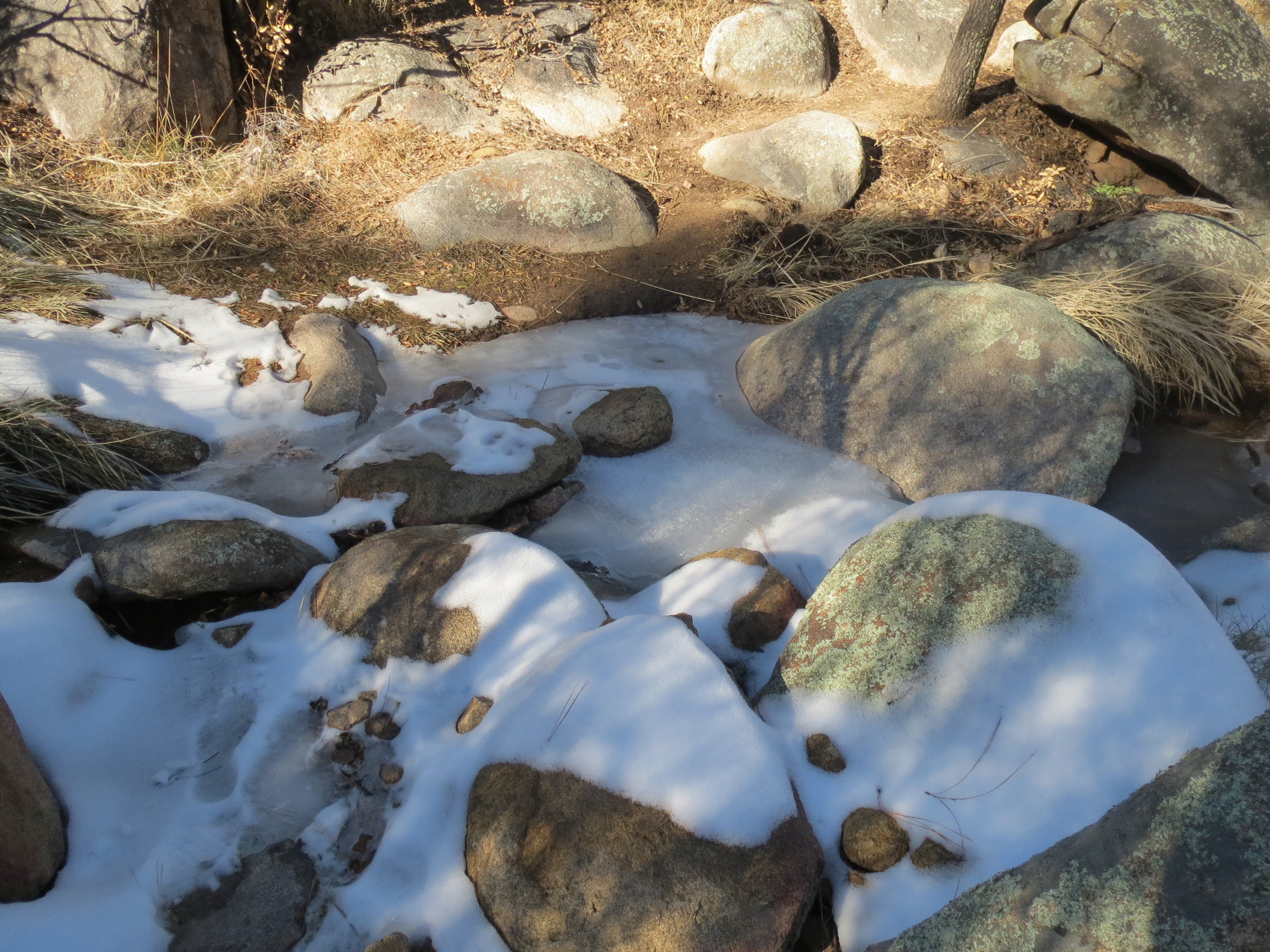
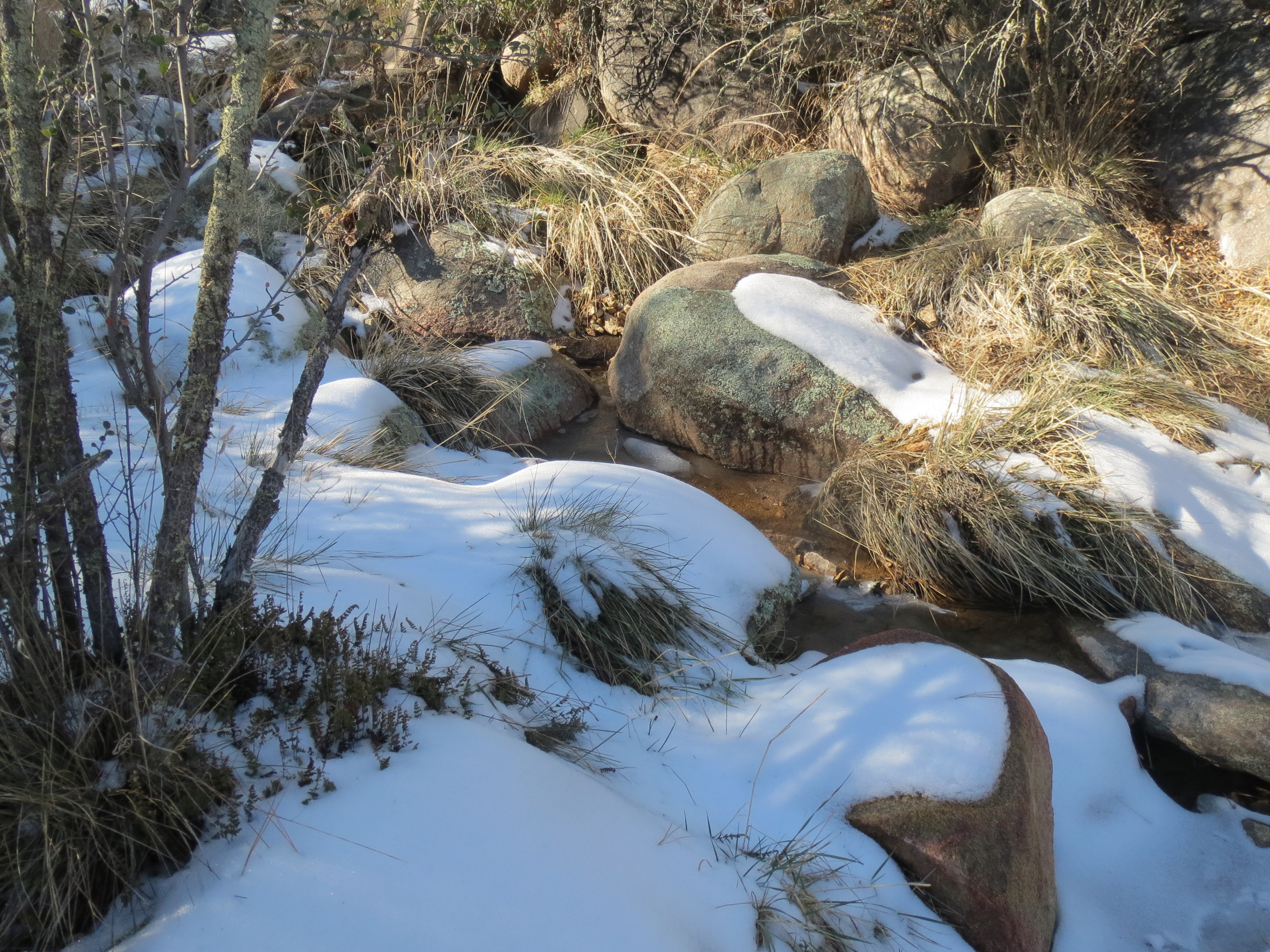
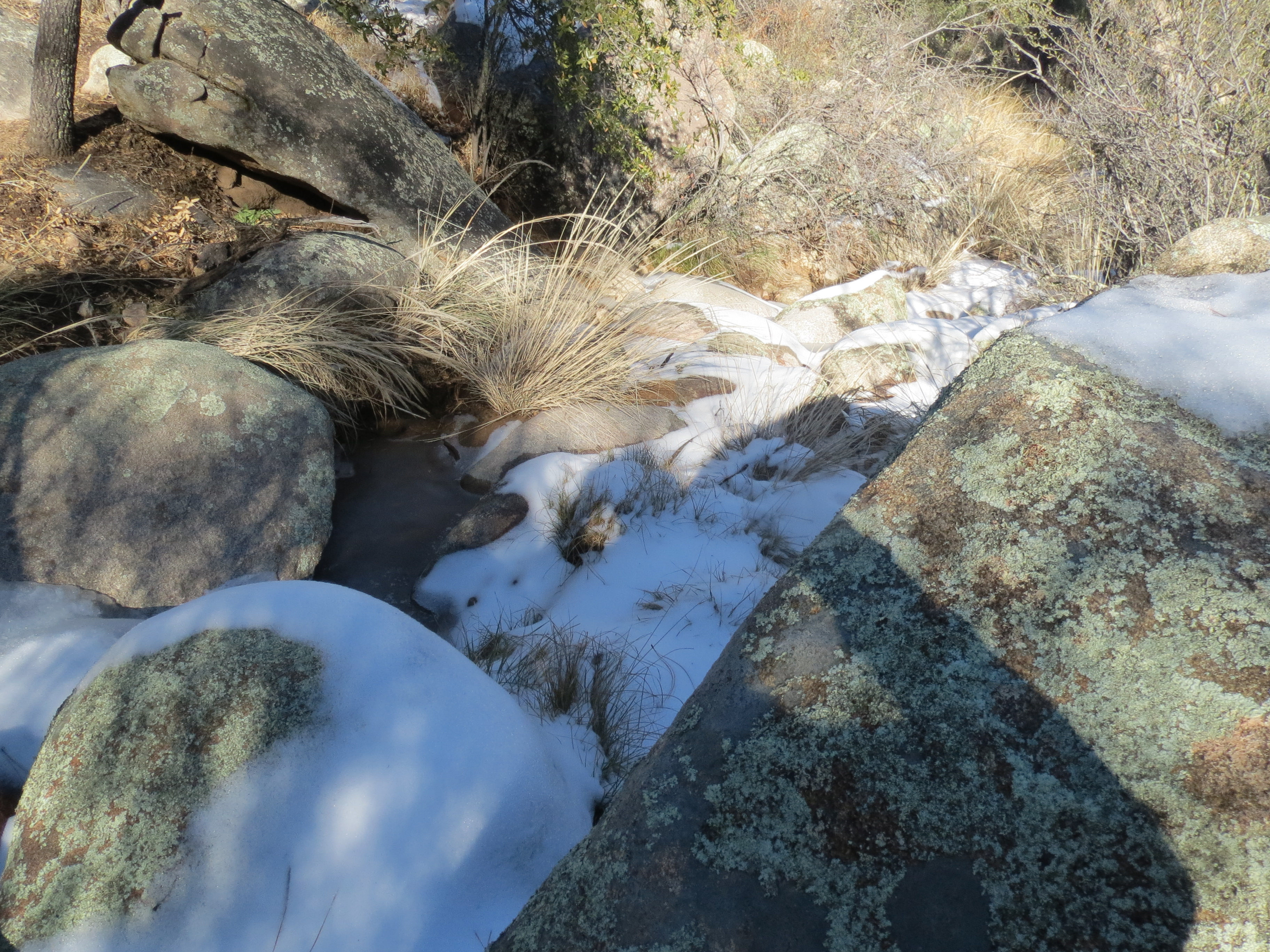
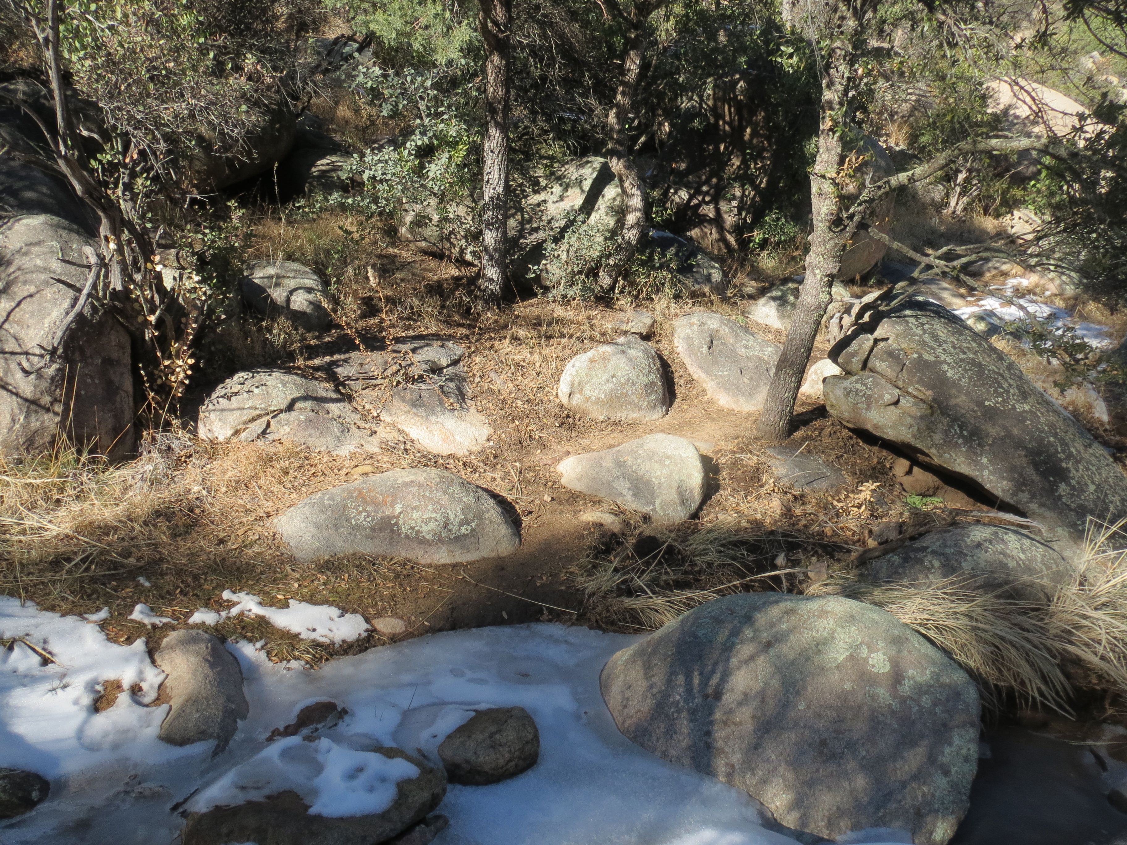
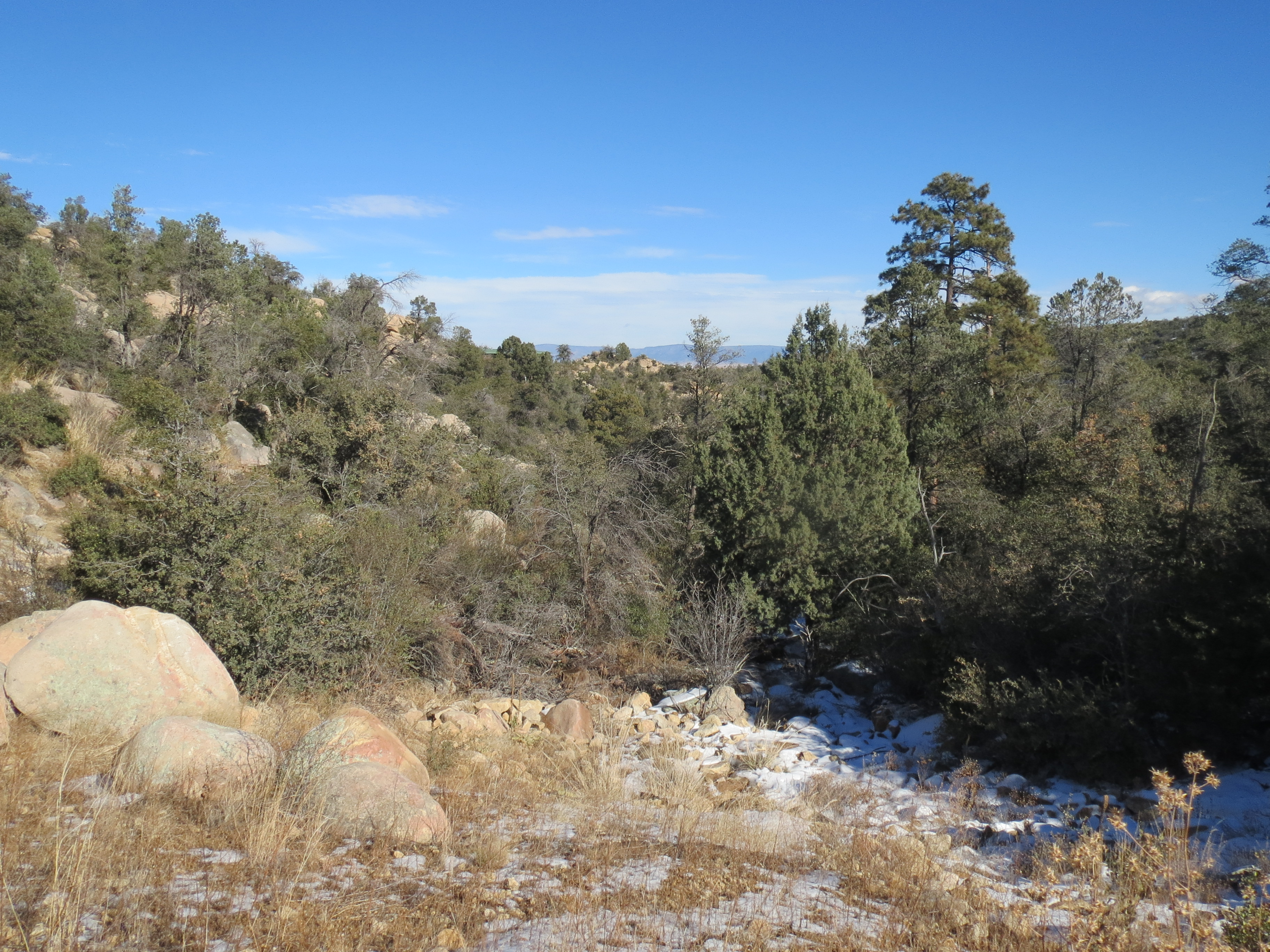
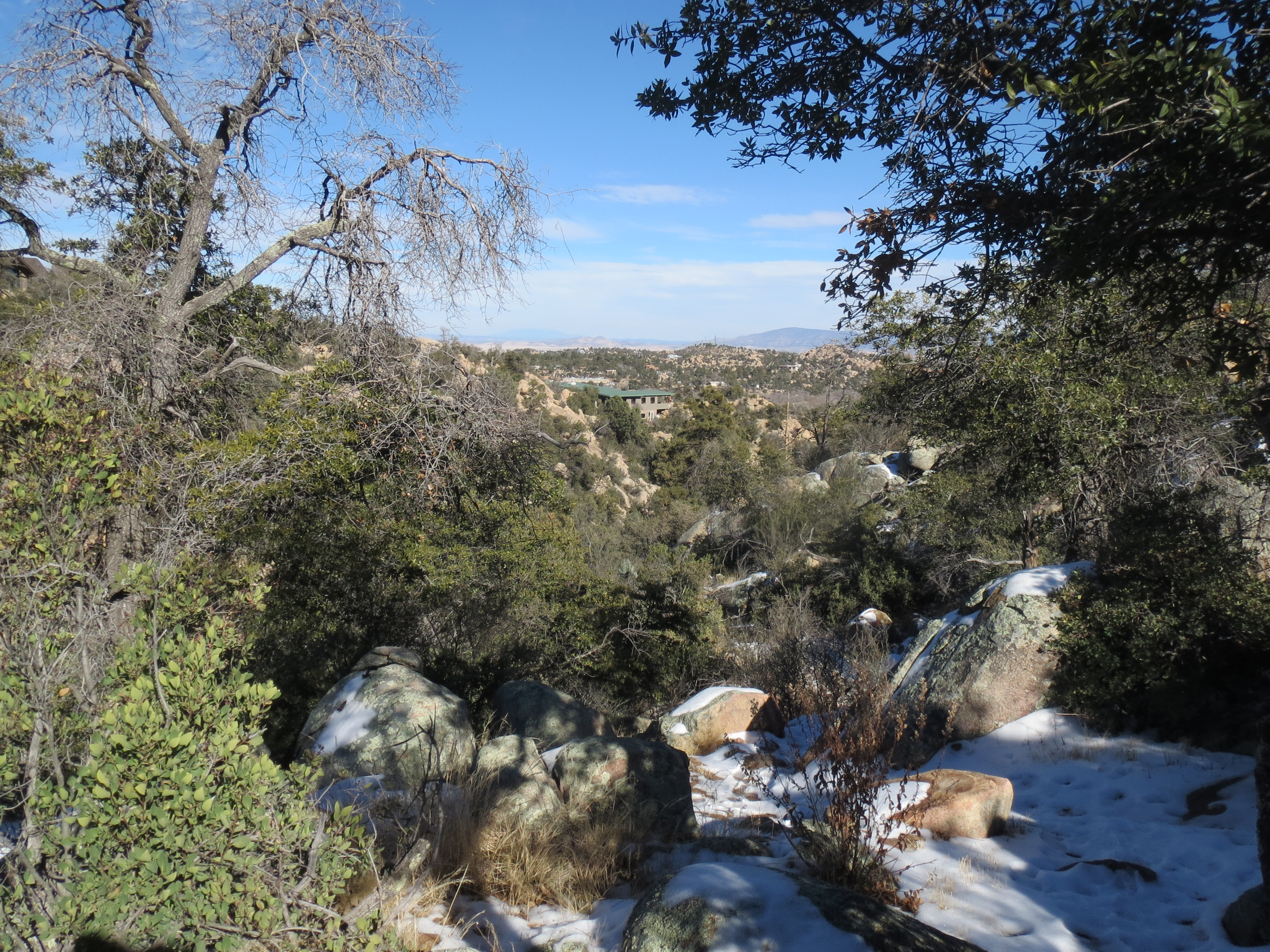
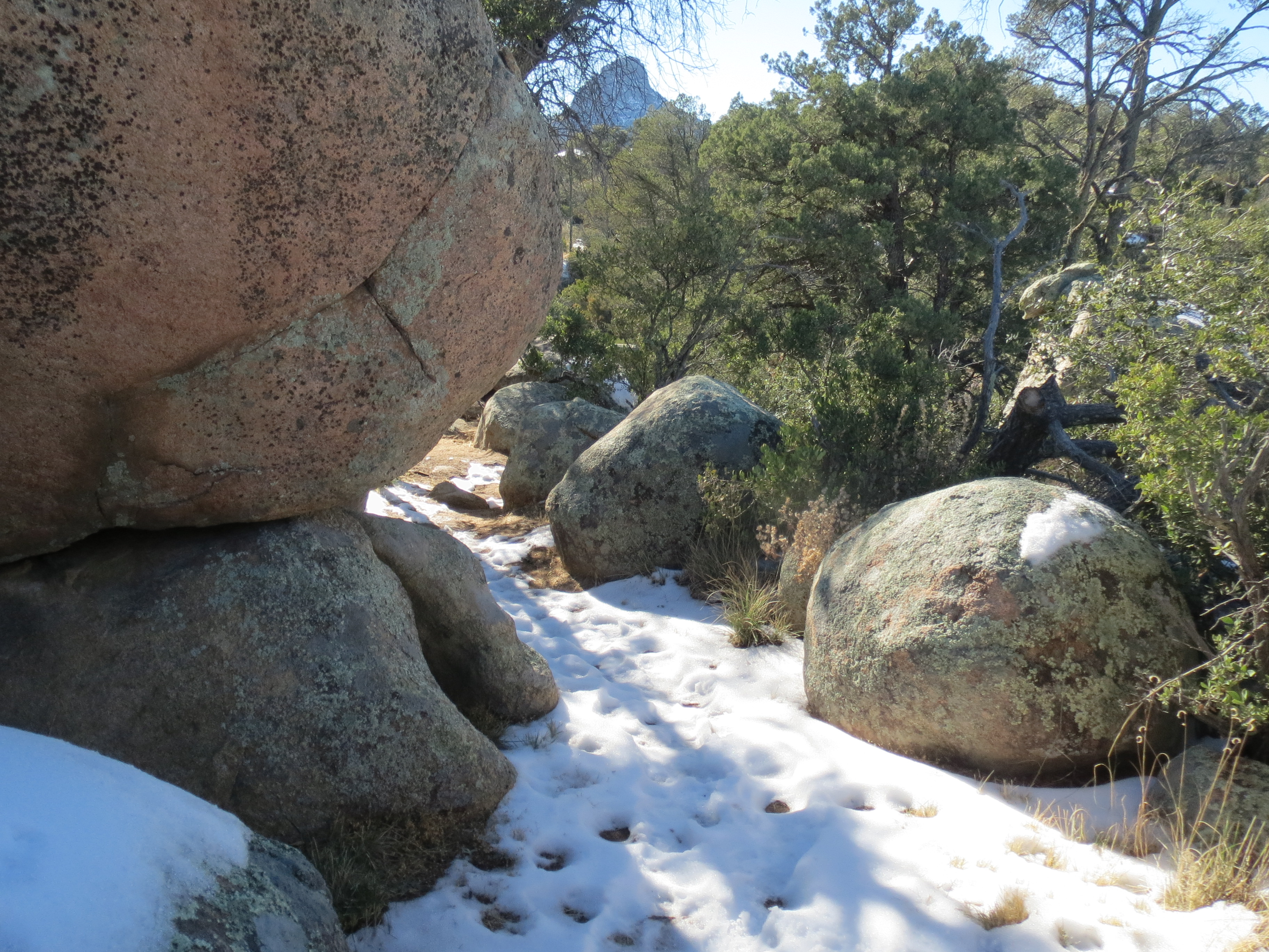
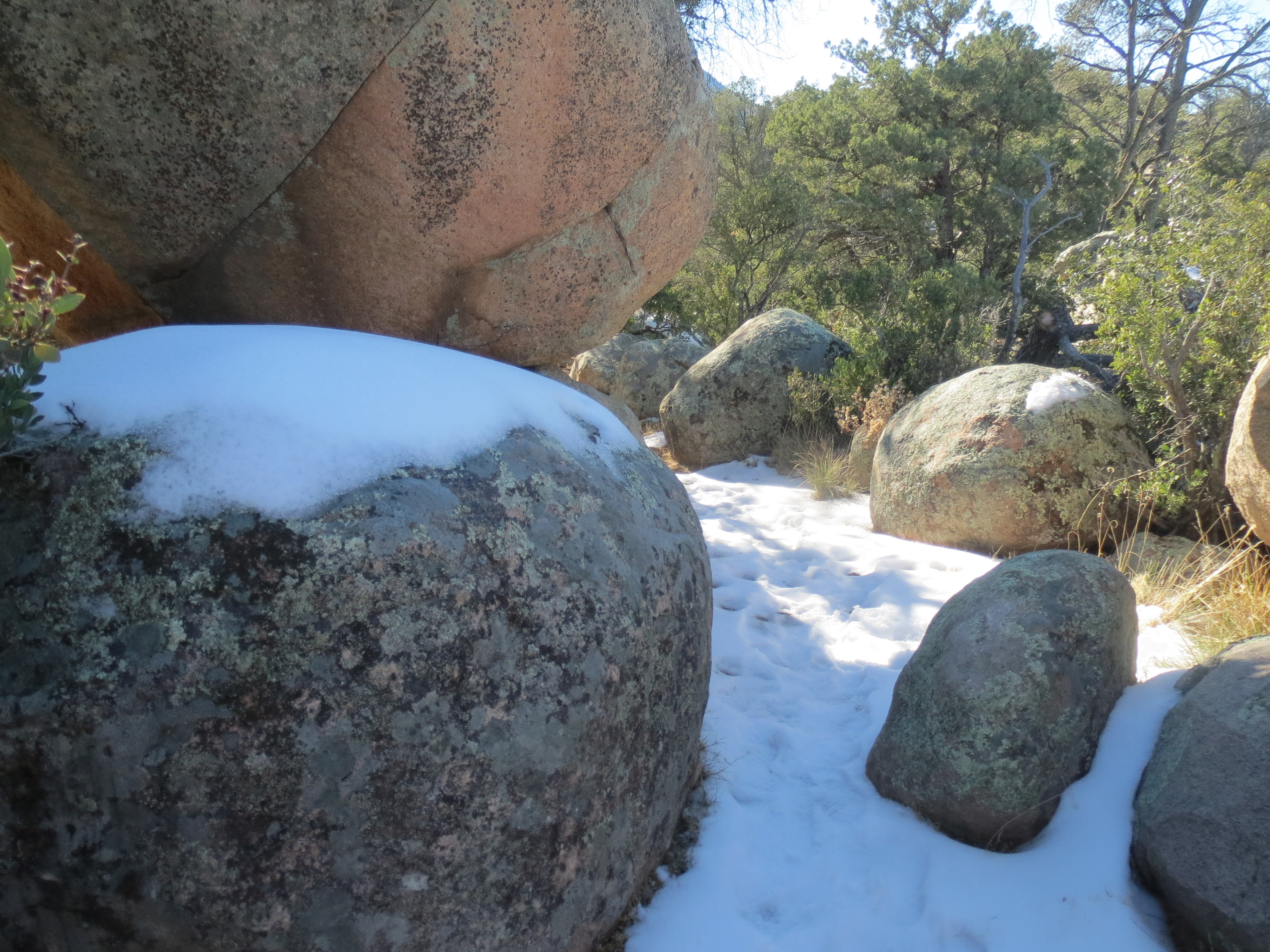
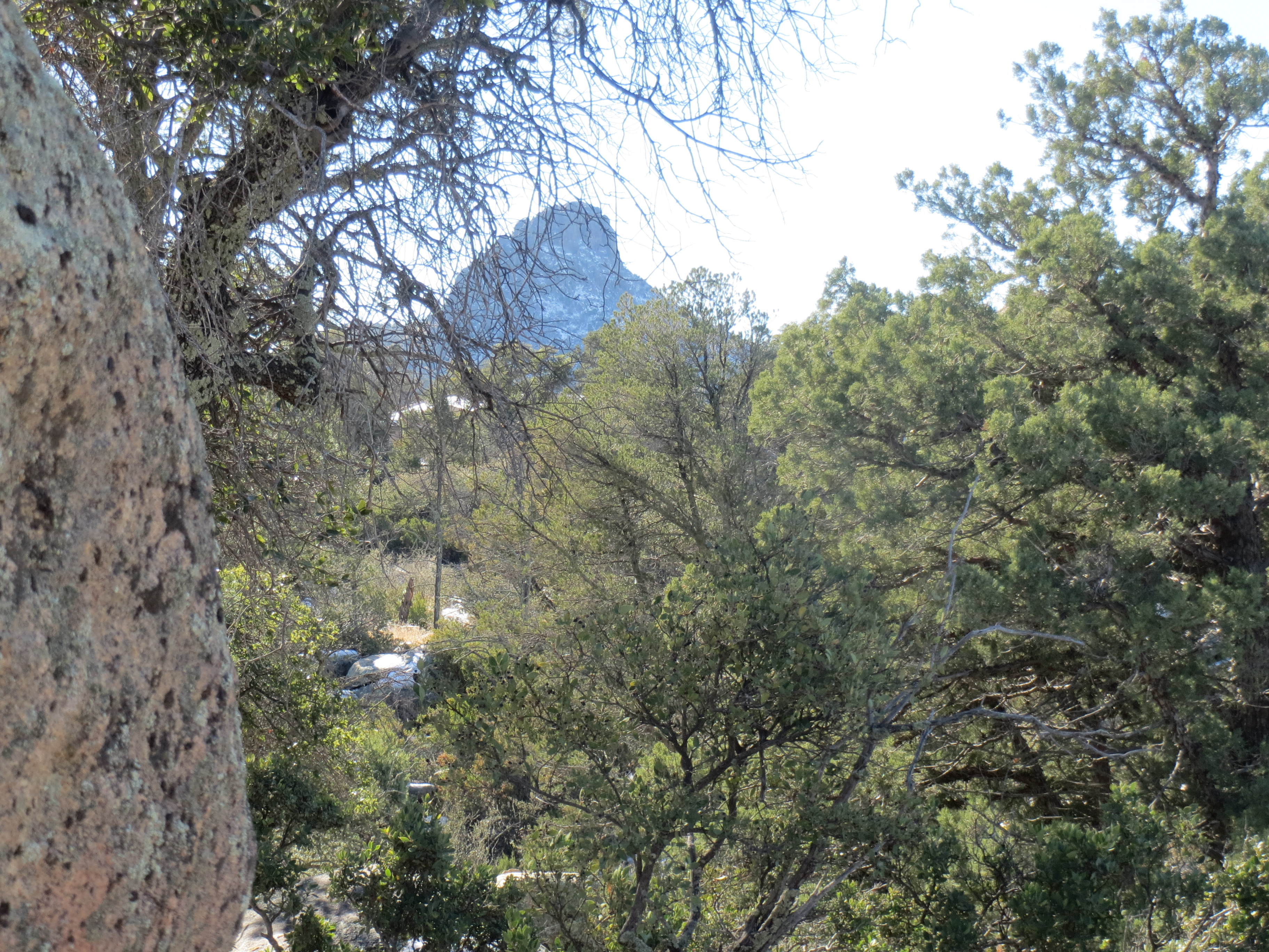
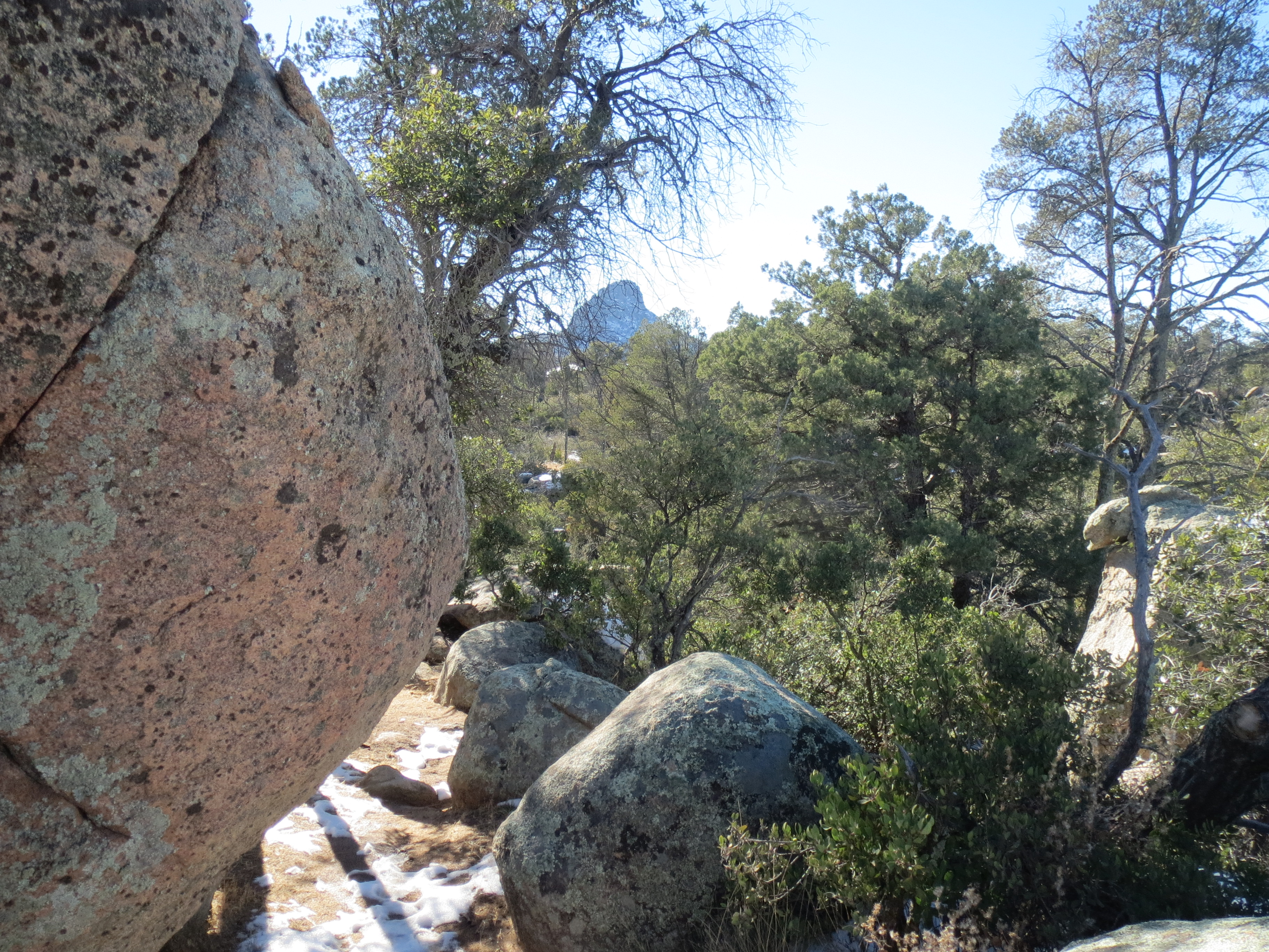
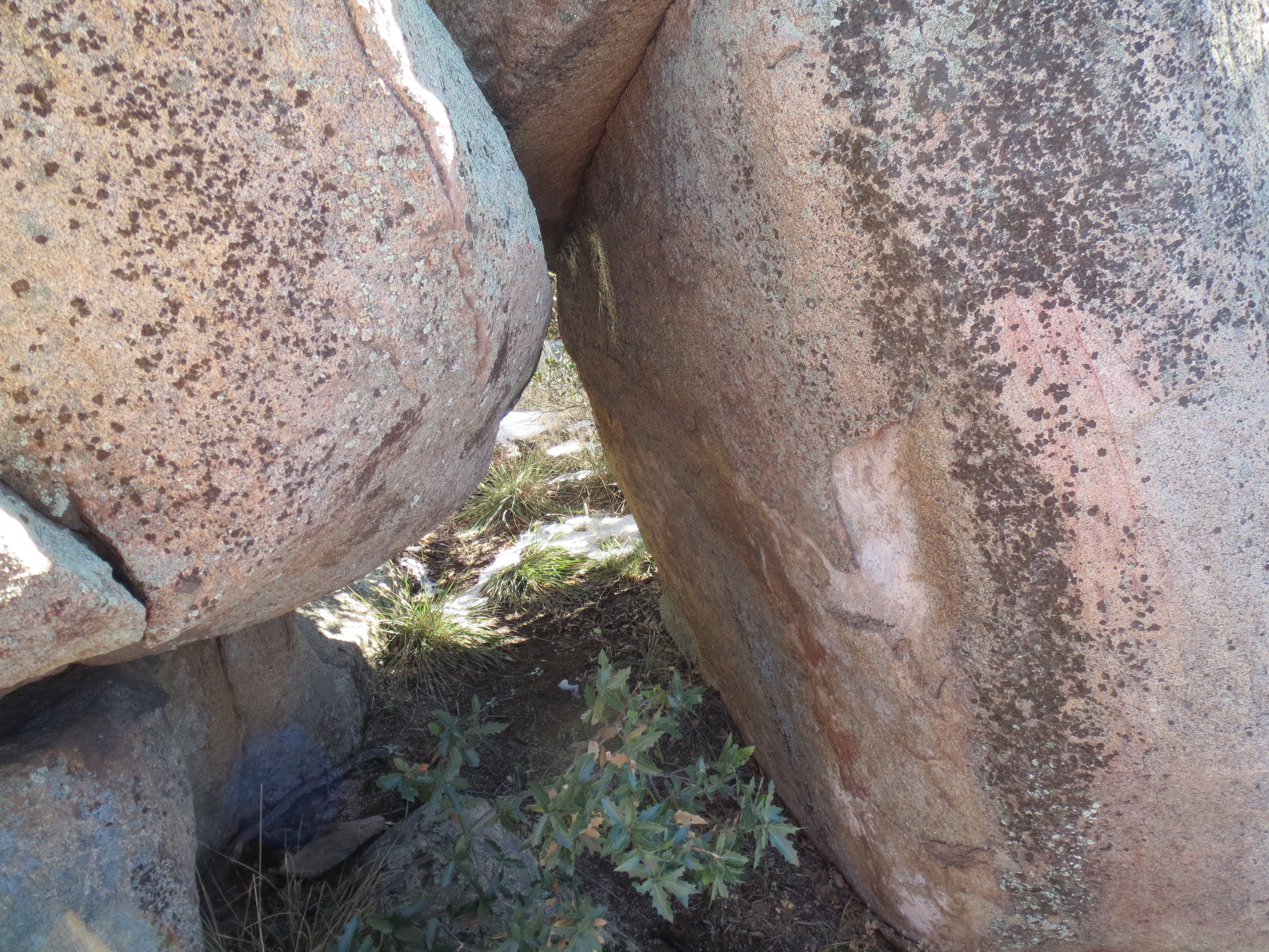
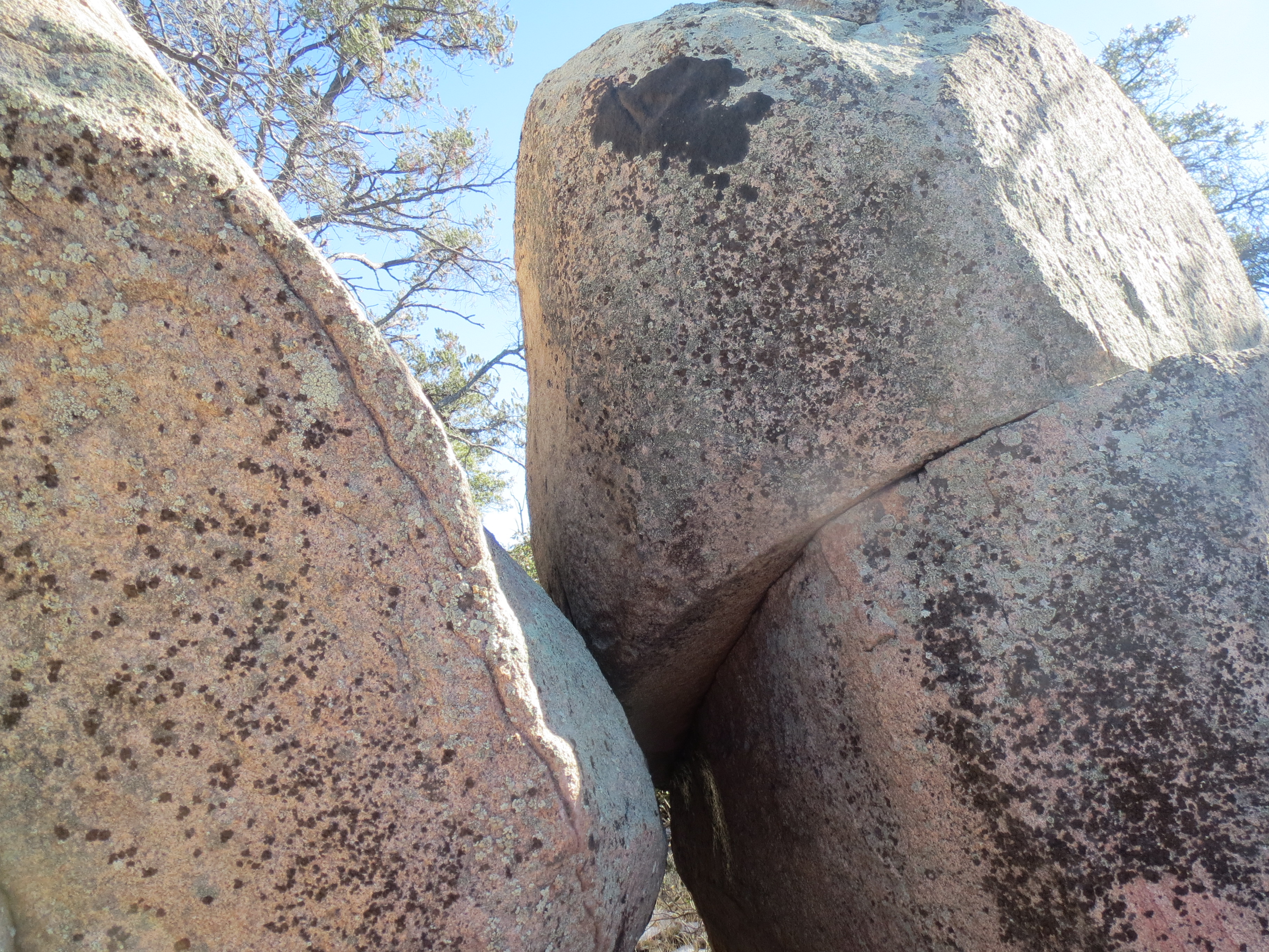
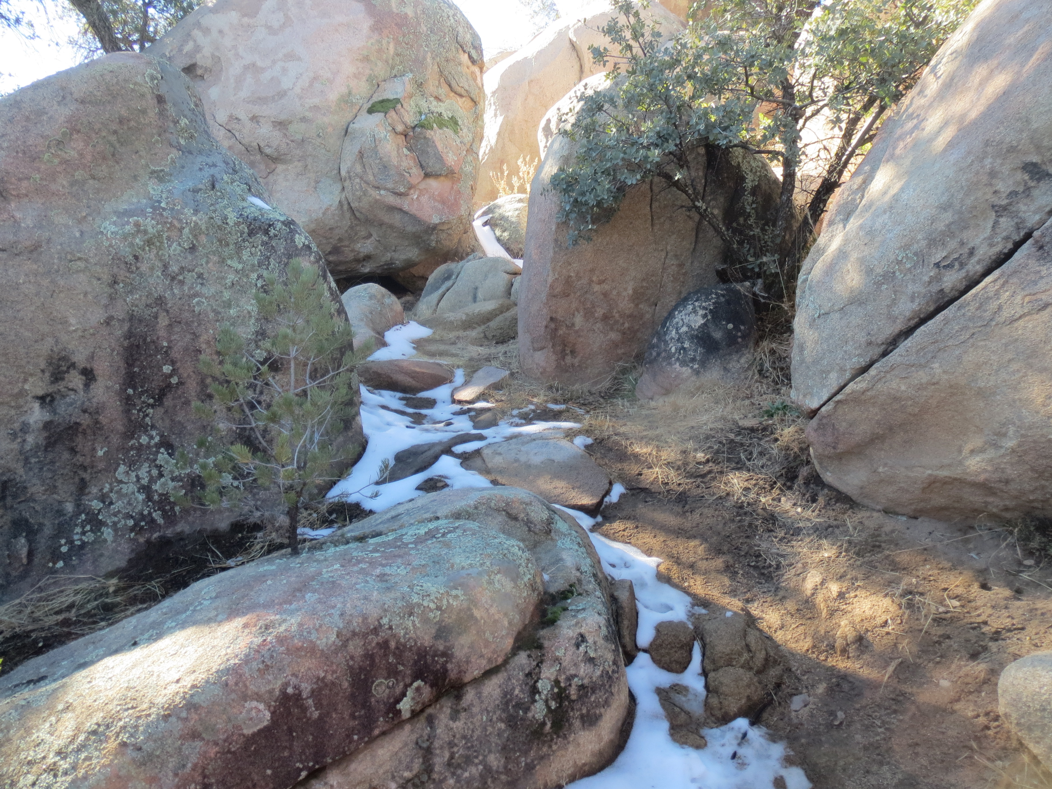
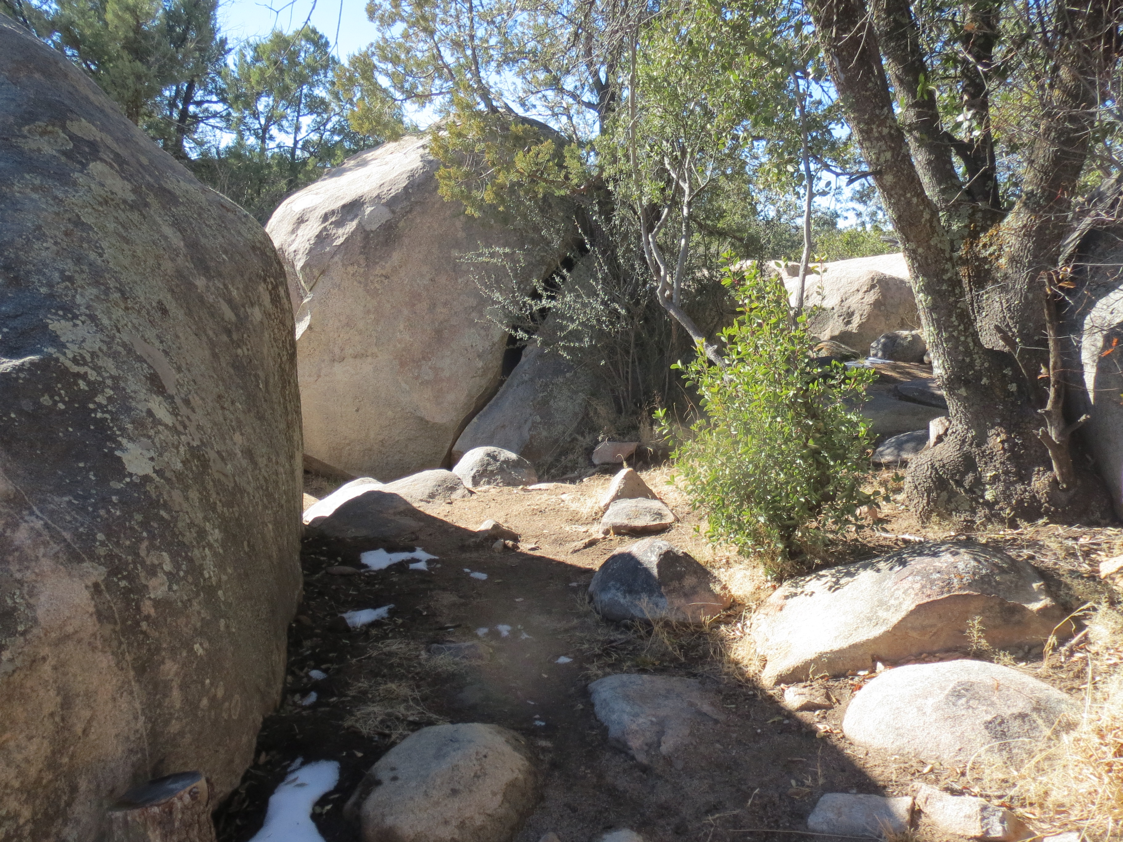
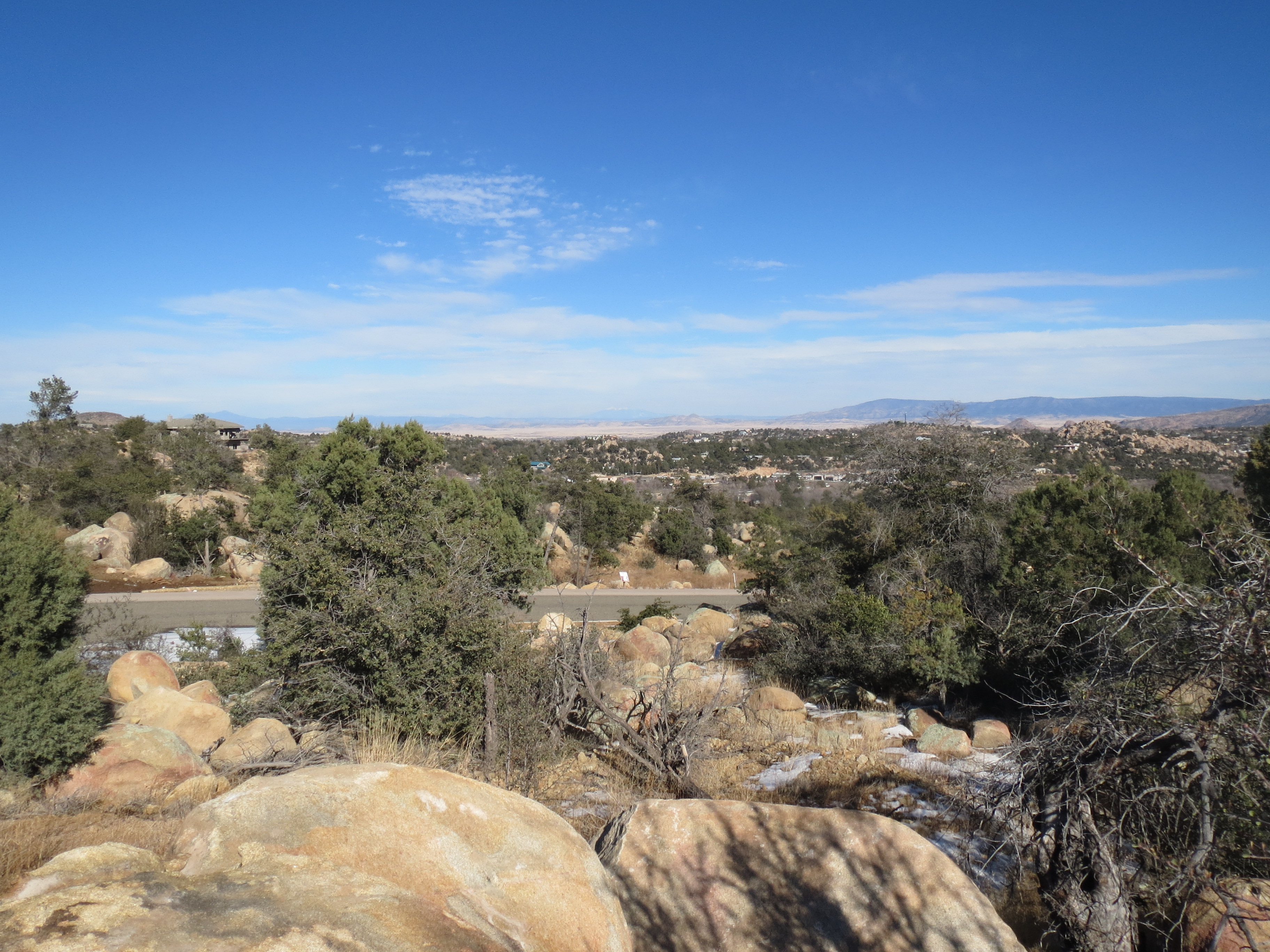
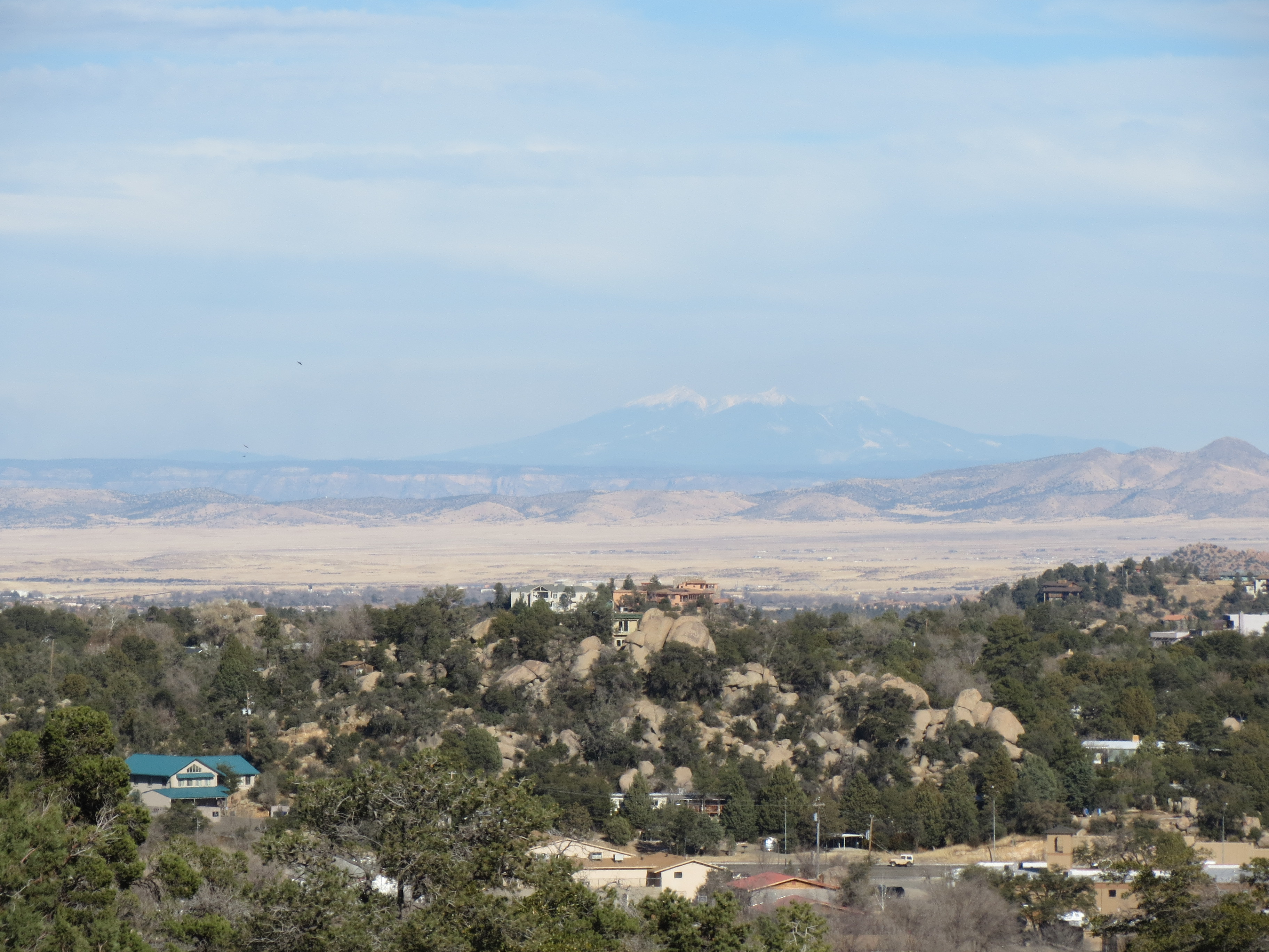
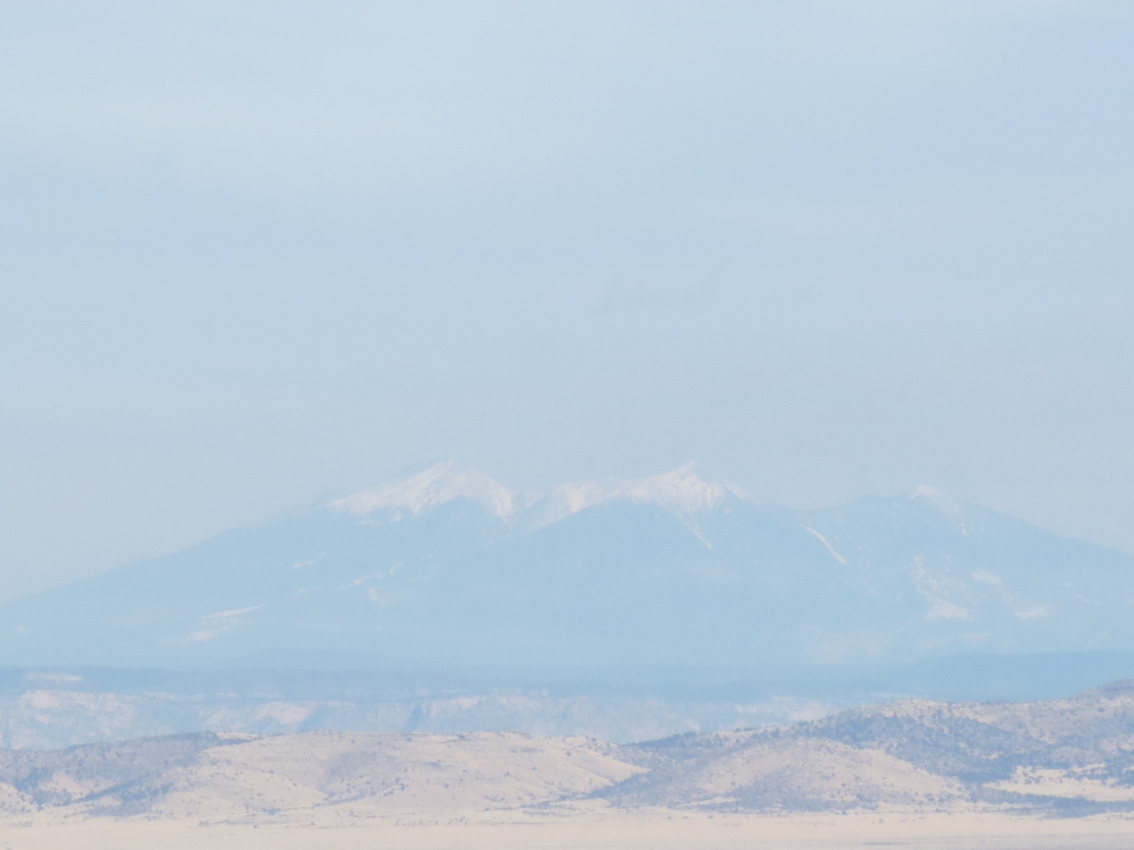
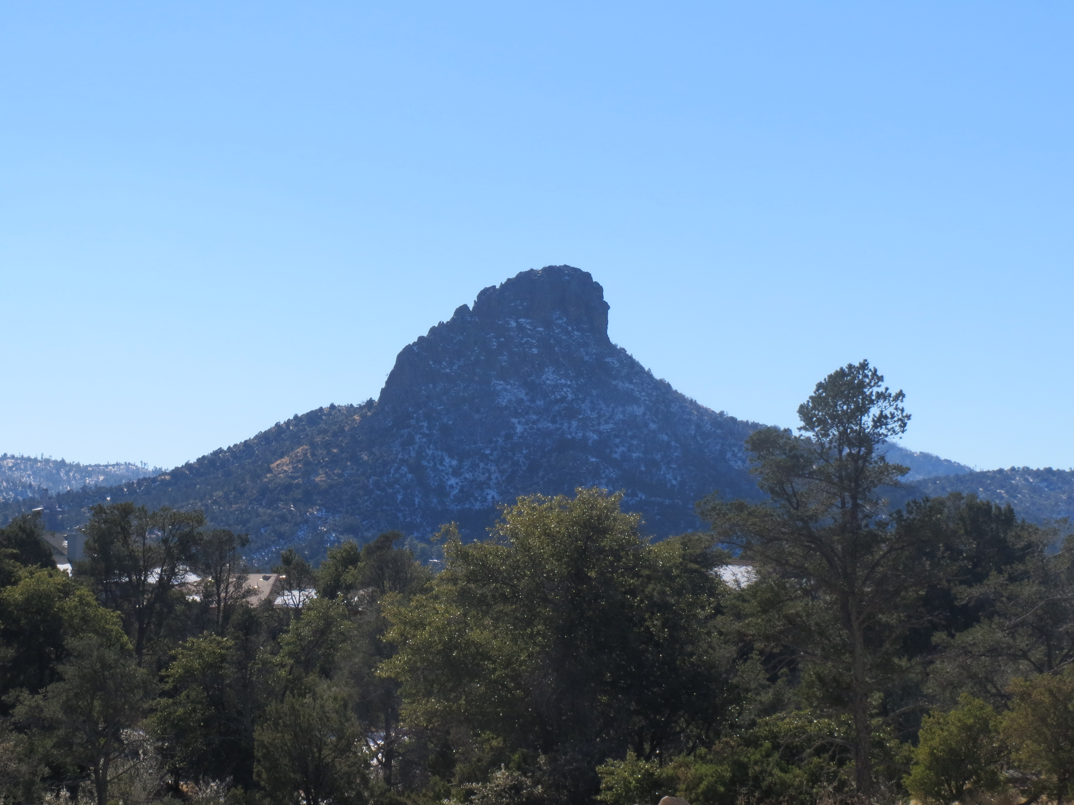
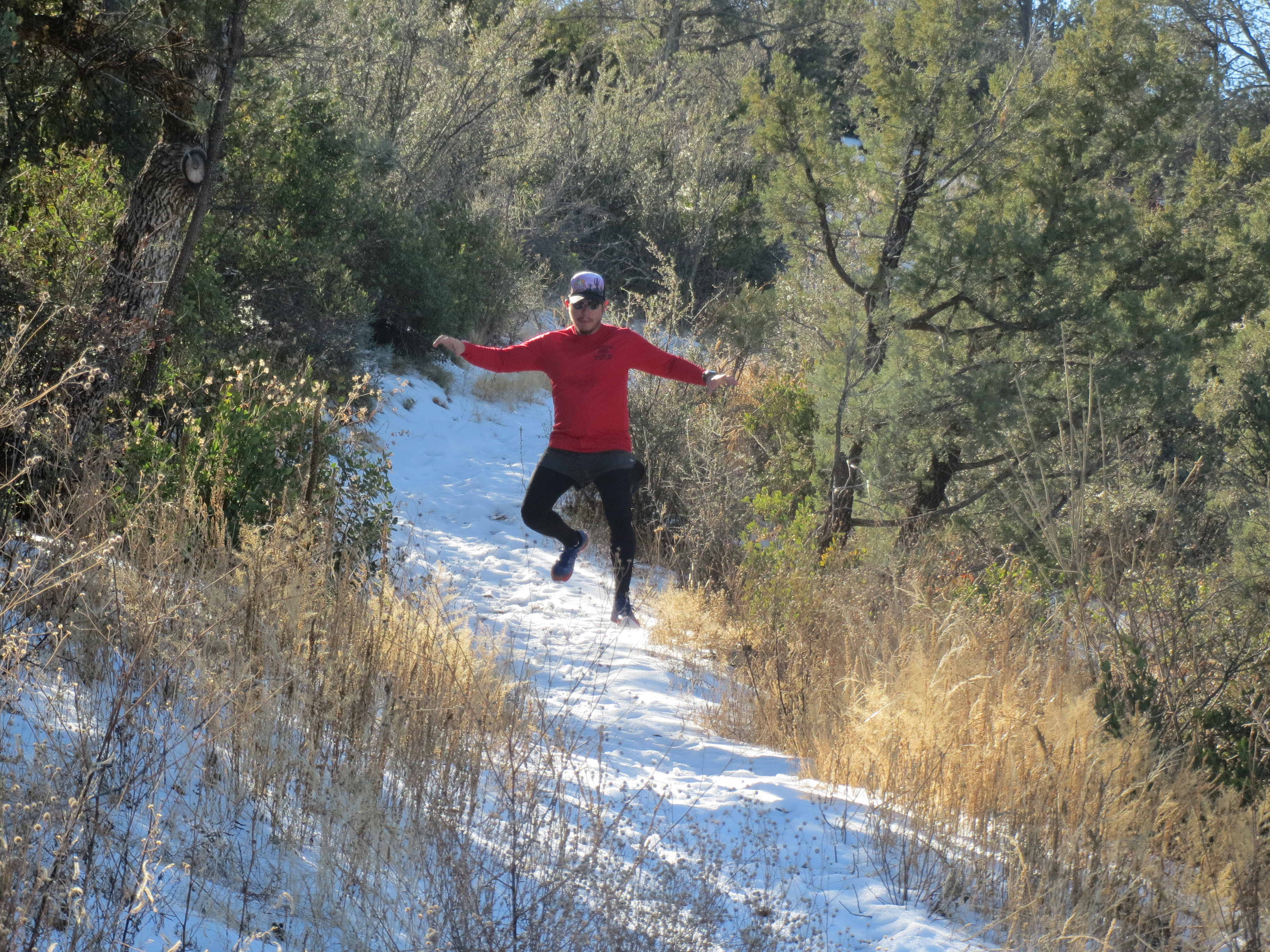
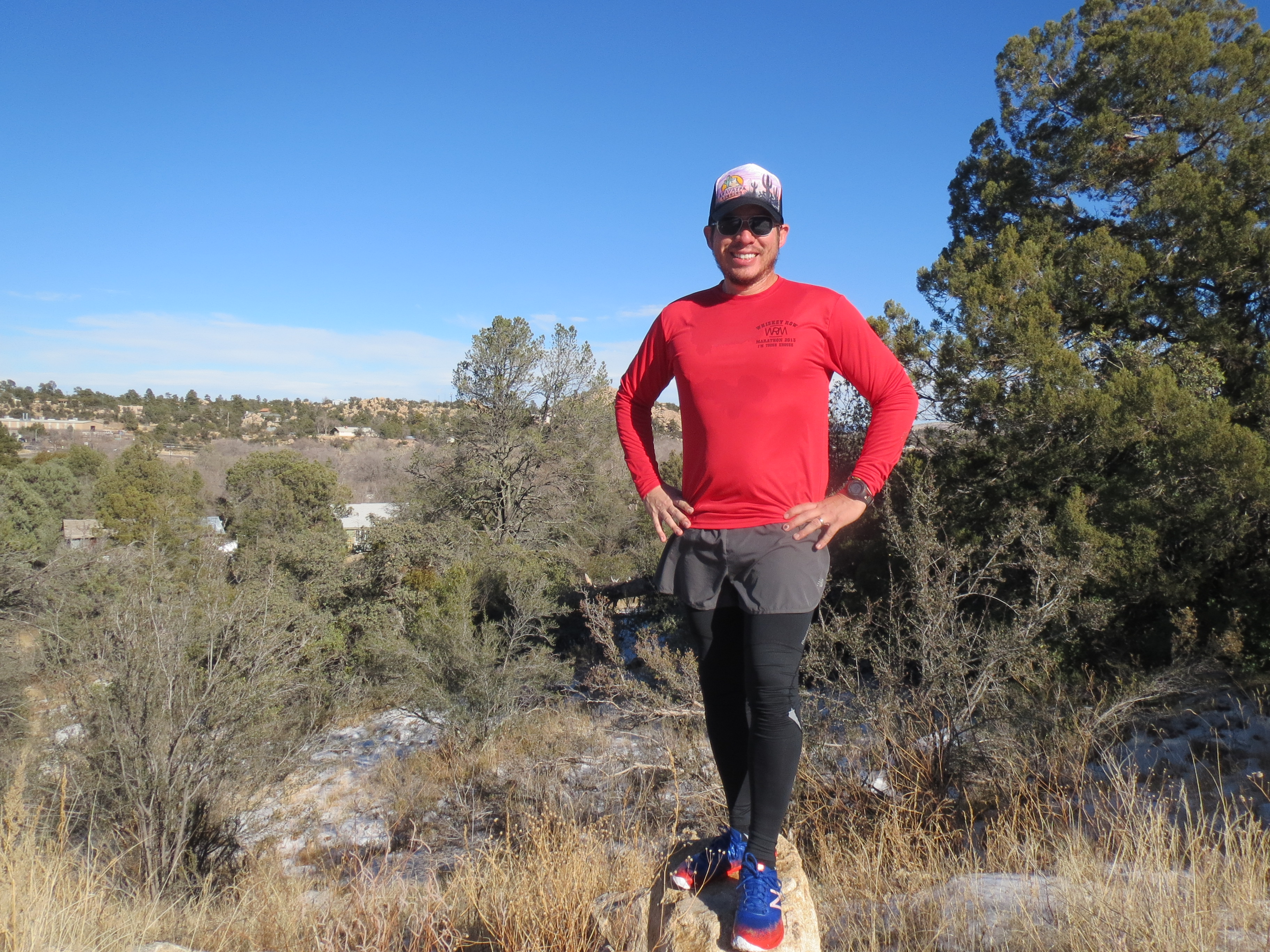
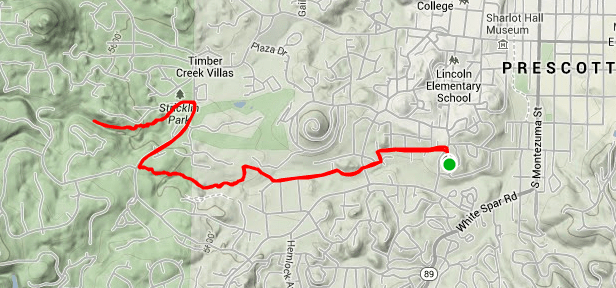
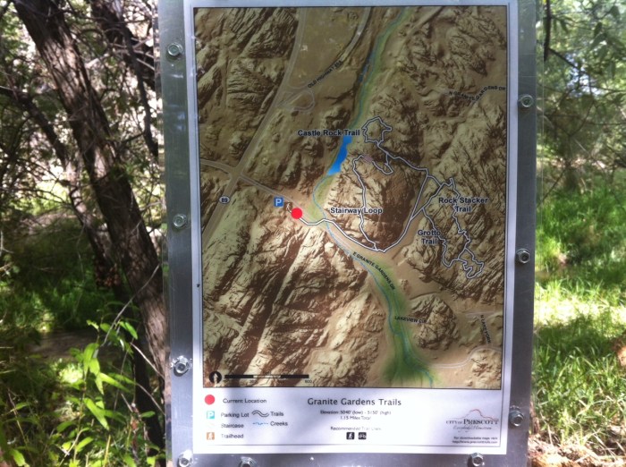
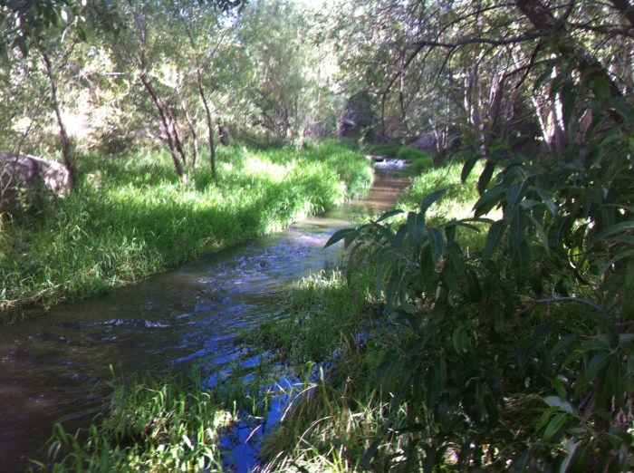
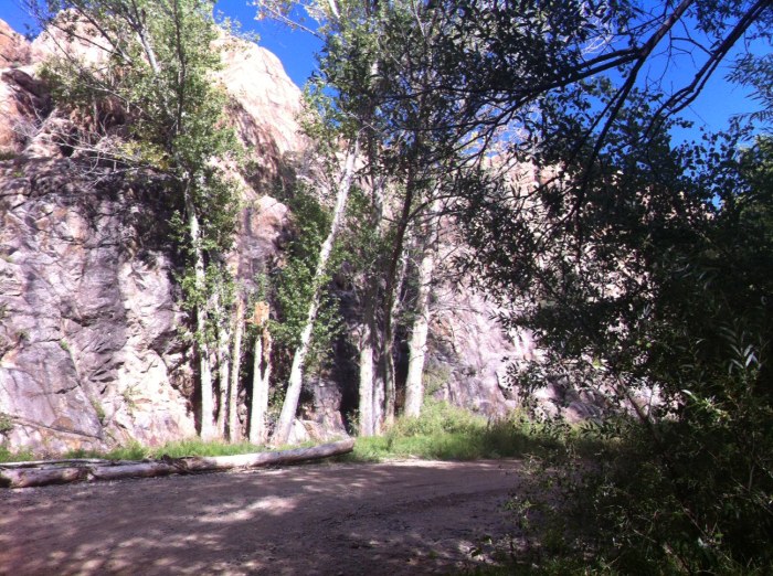
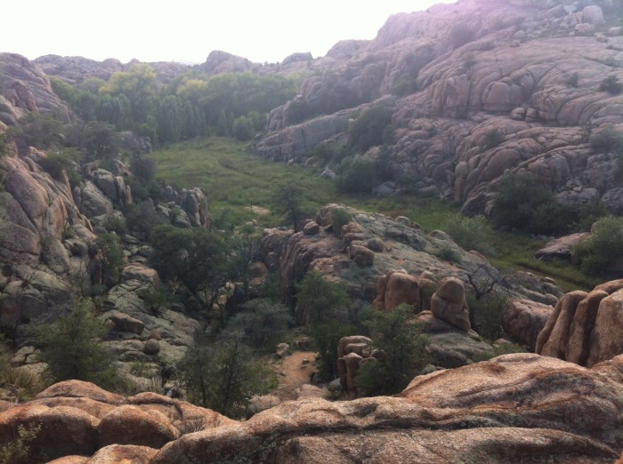
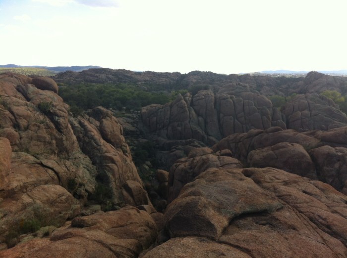
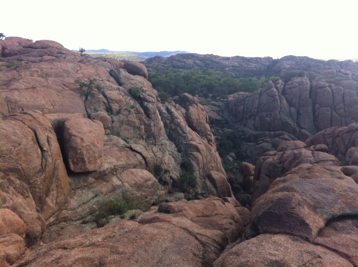
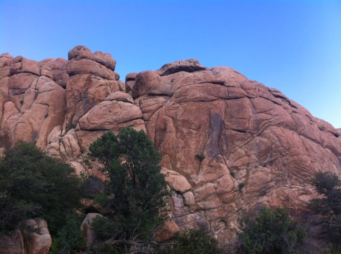
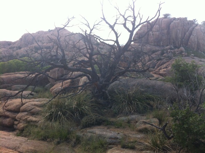
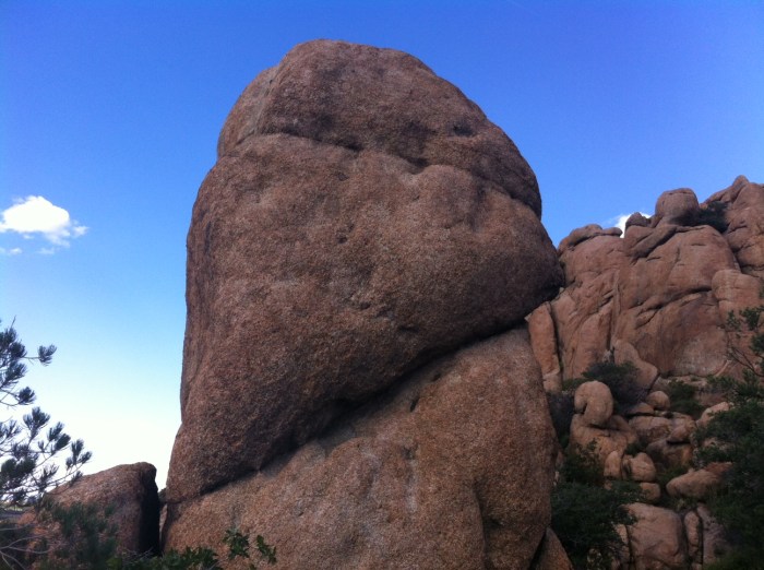
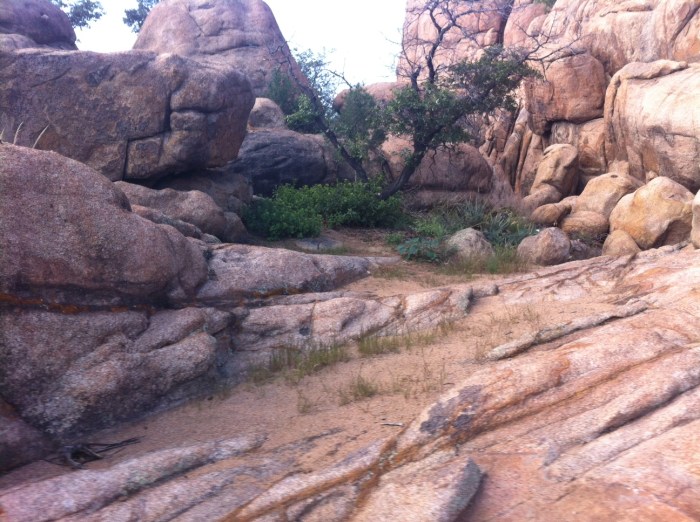
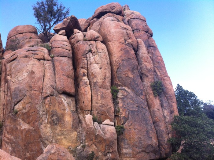
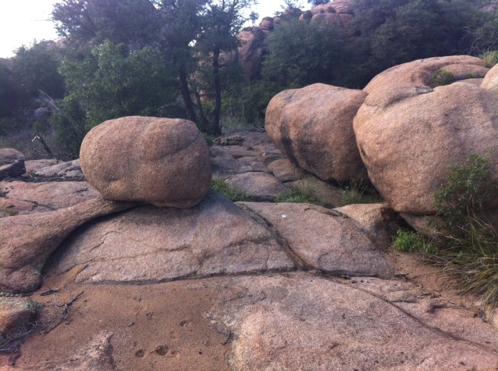
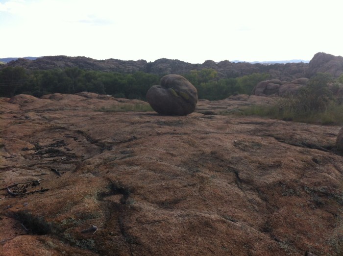
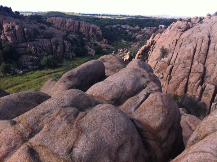
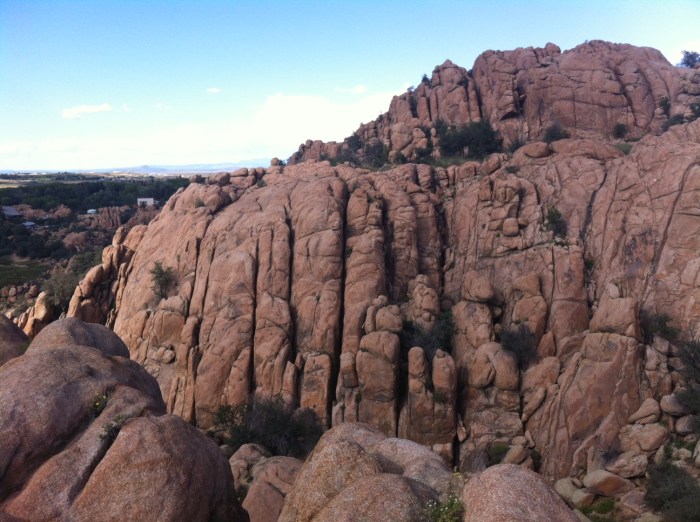
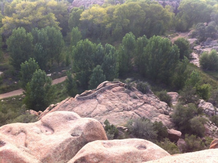
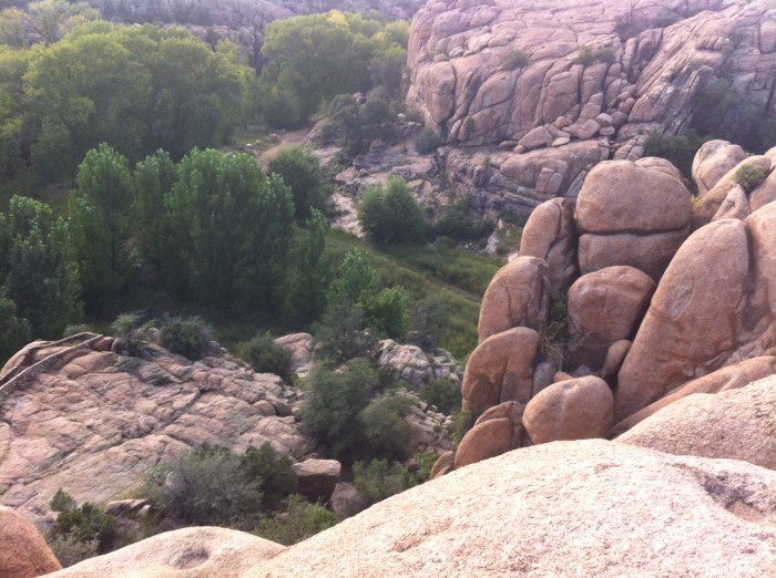
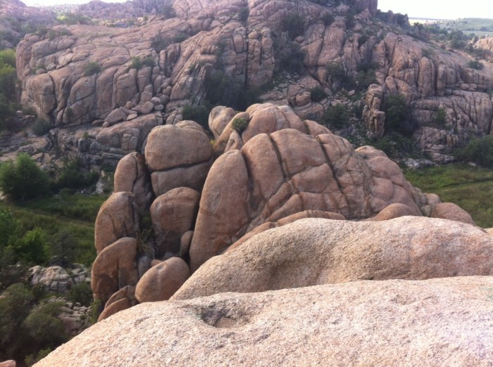
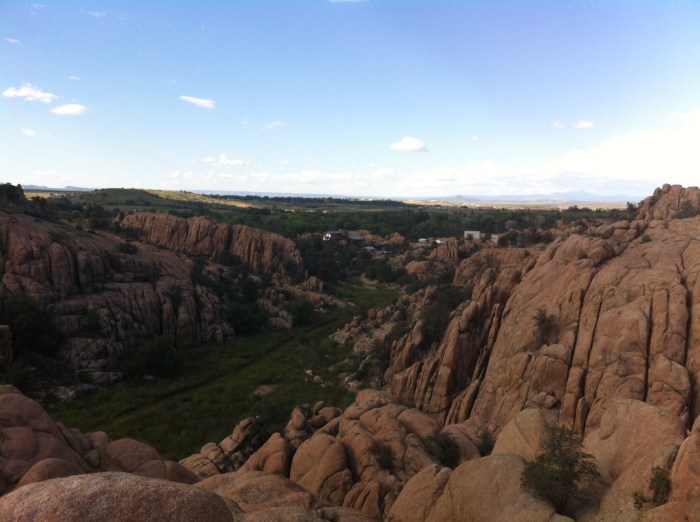
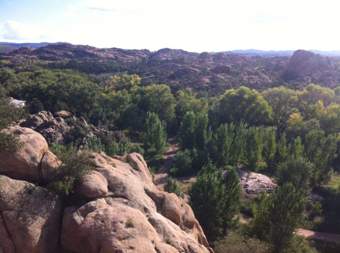
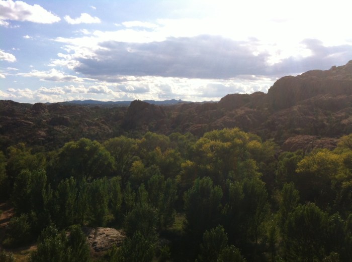
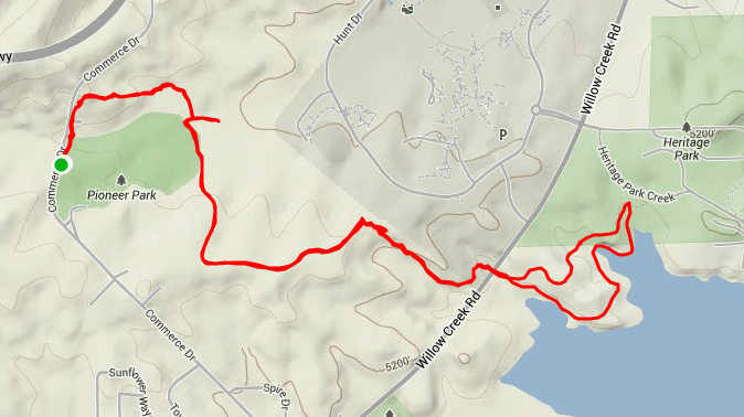
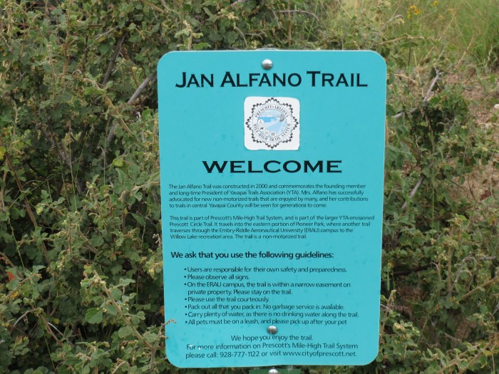
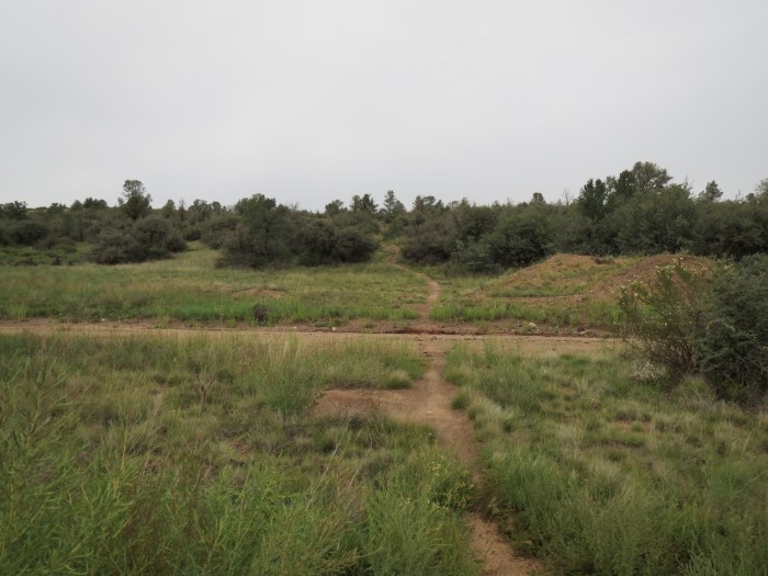
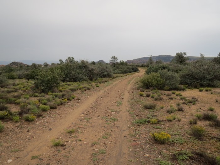
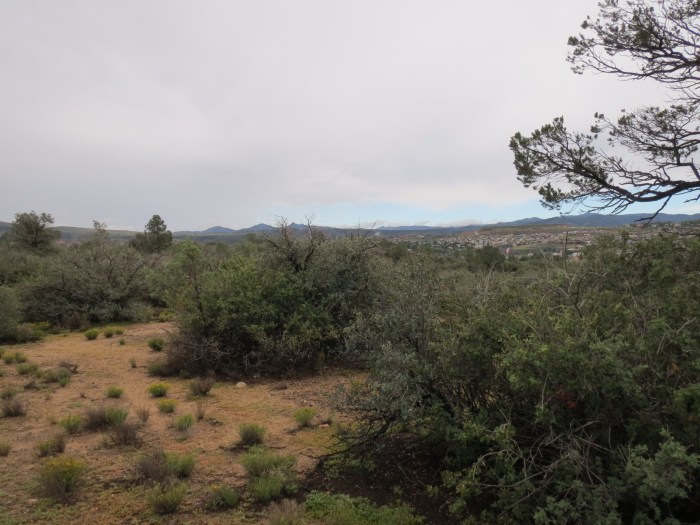
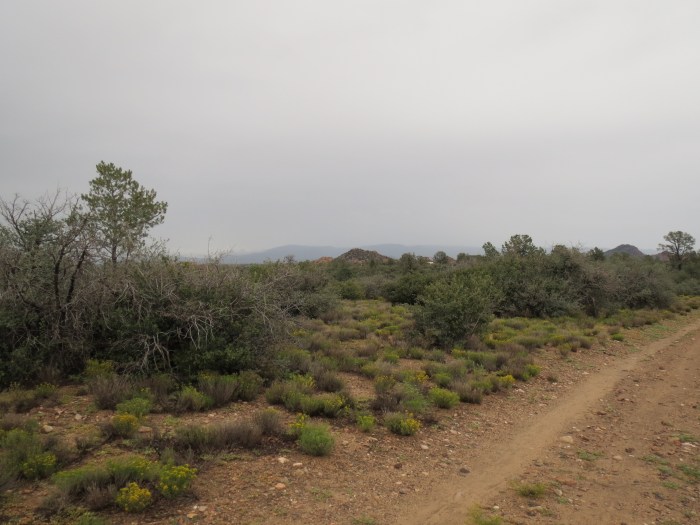
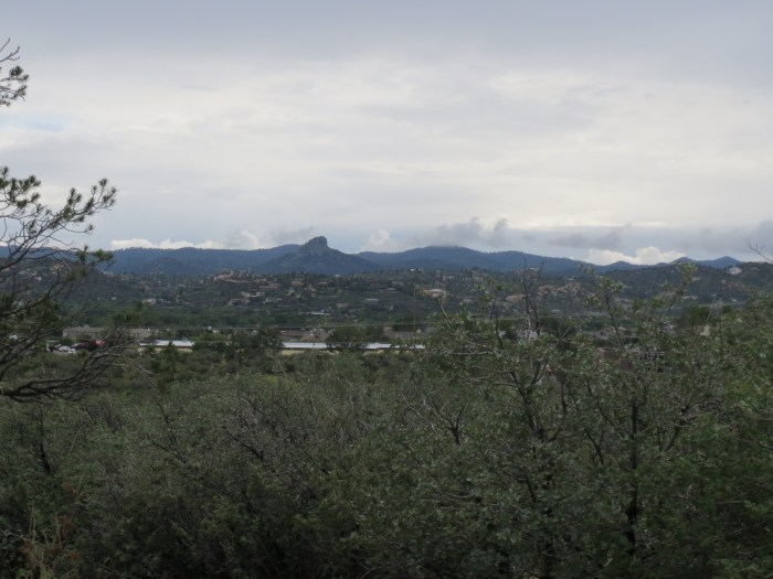
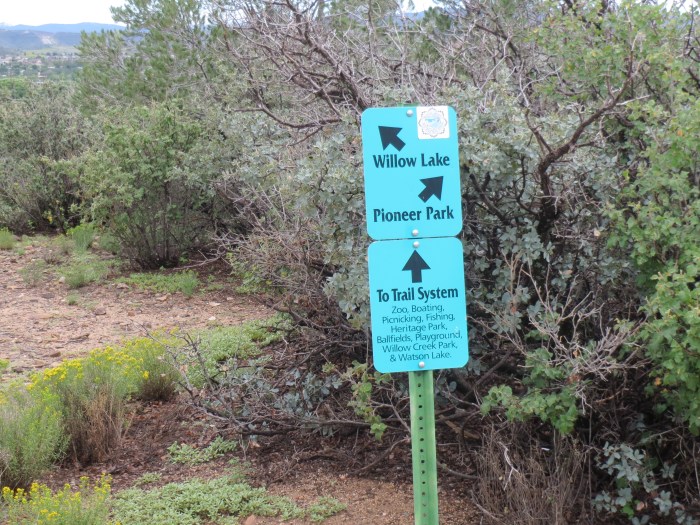
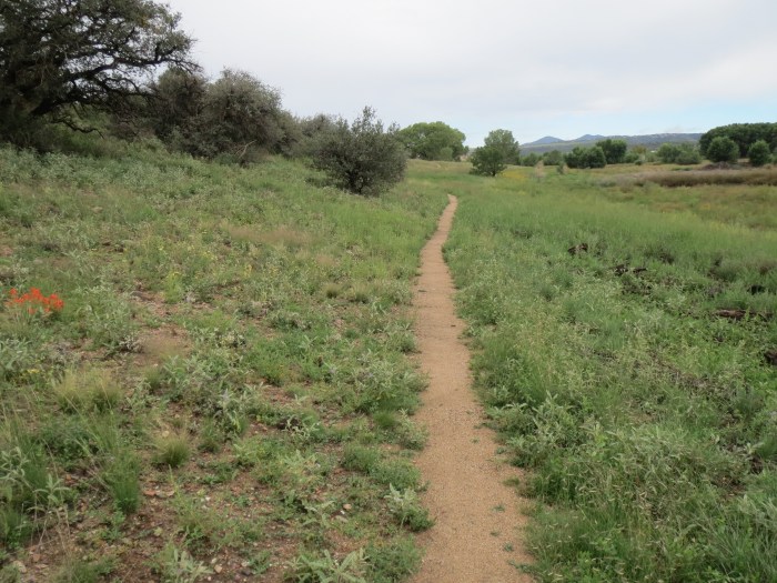
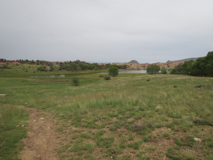
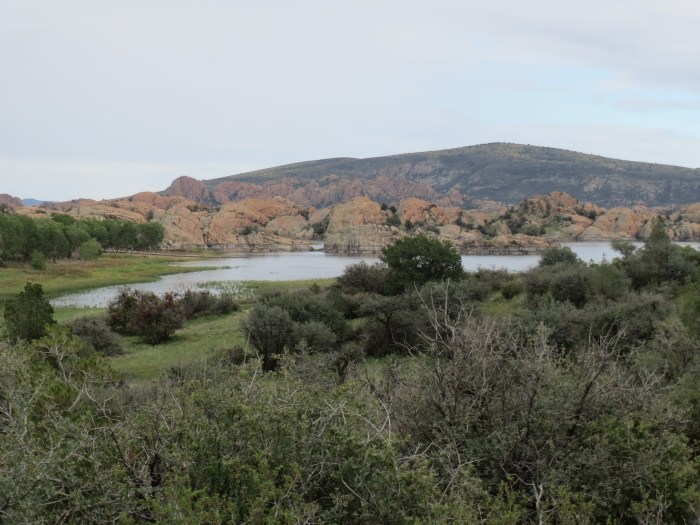
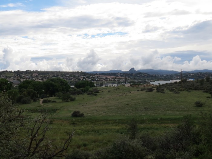
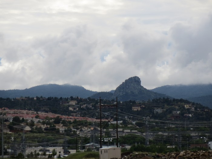
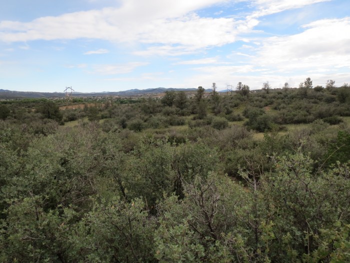
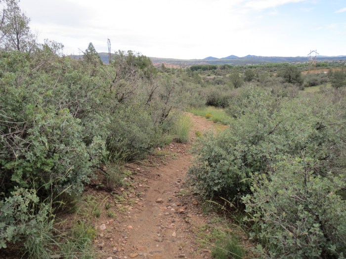
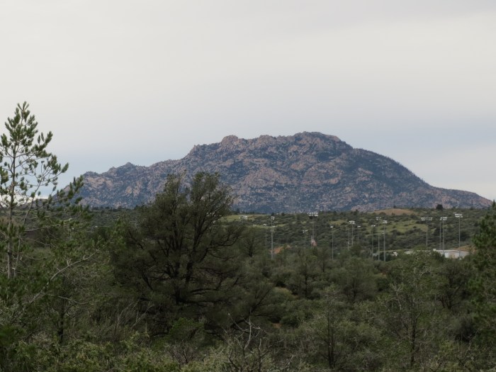
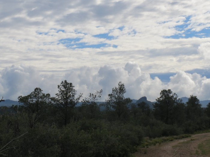
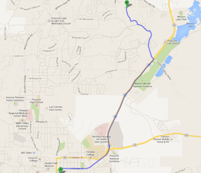
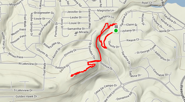
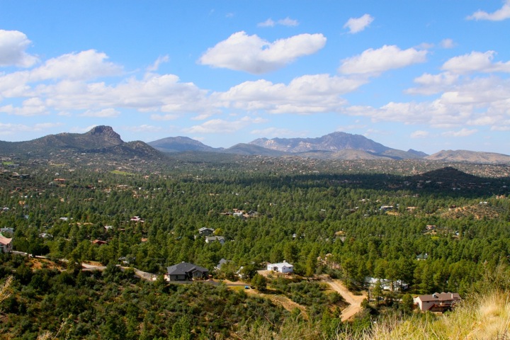
Next up on my trail running exploration of Prescott was the Centennial Trail. This trail was built in 2012 in recognition to the 100th birthdate of the State of Arizona. The Centennial Trail meanders through the boulders and canyons, with panoramic views of the City of Prescott, Rodeo Grounds, Thumb Butte, and Granite Mountain. Petroglyphs are a feature of the trail.

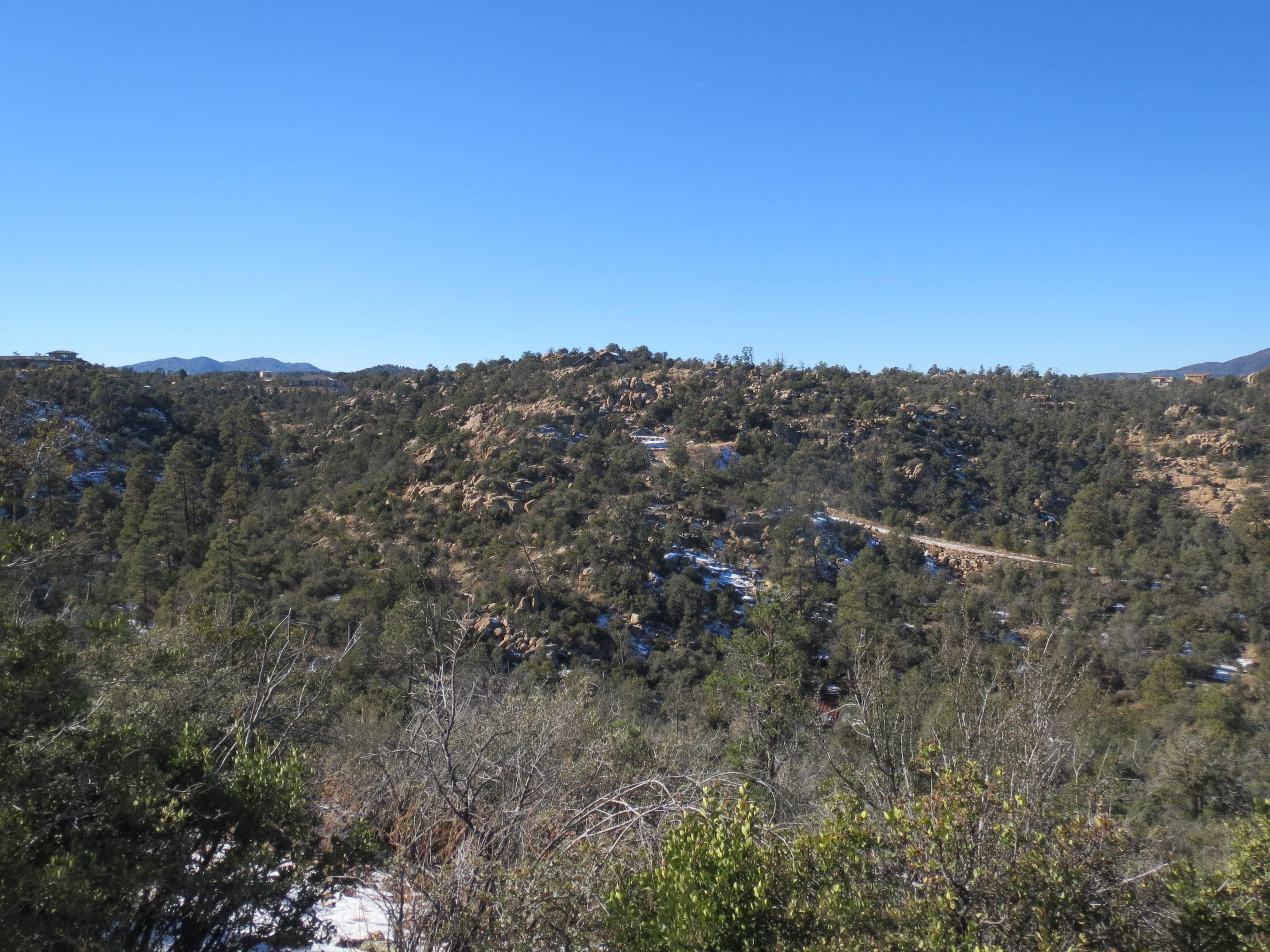
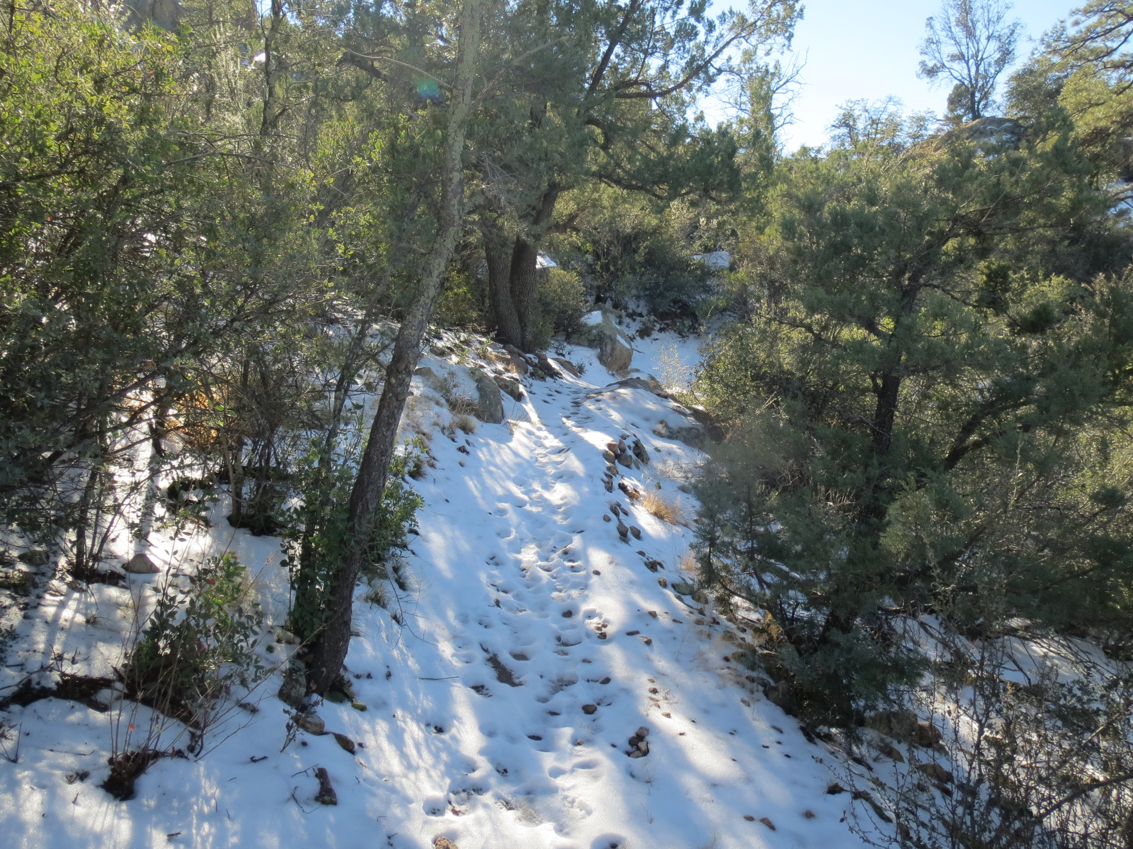
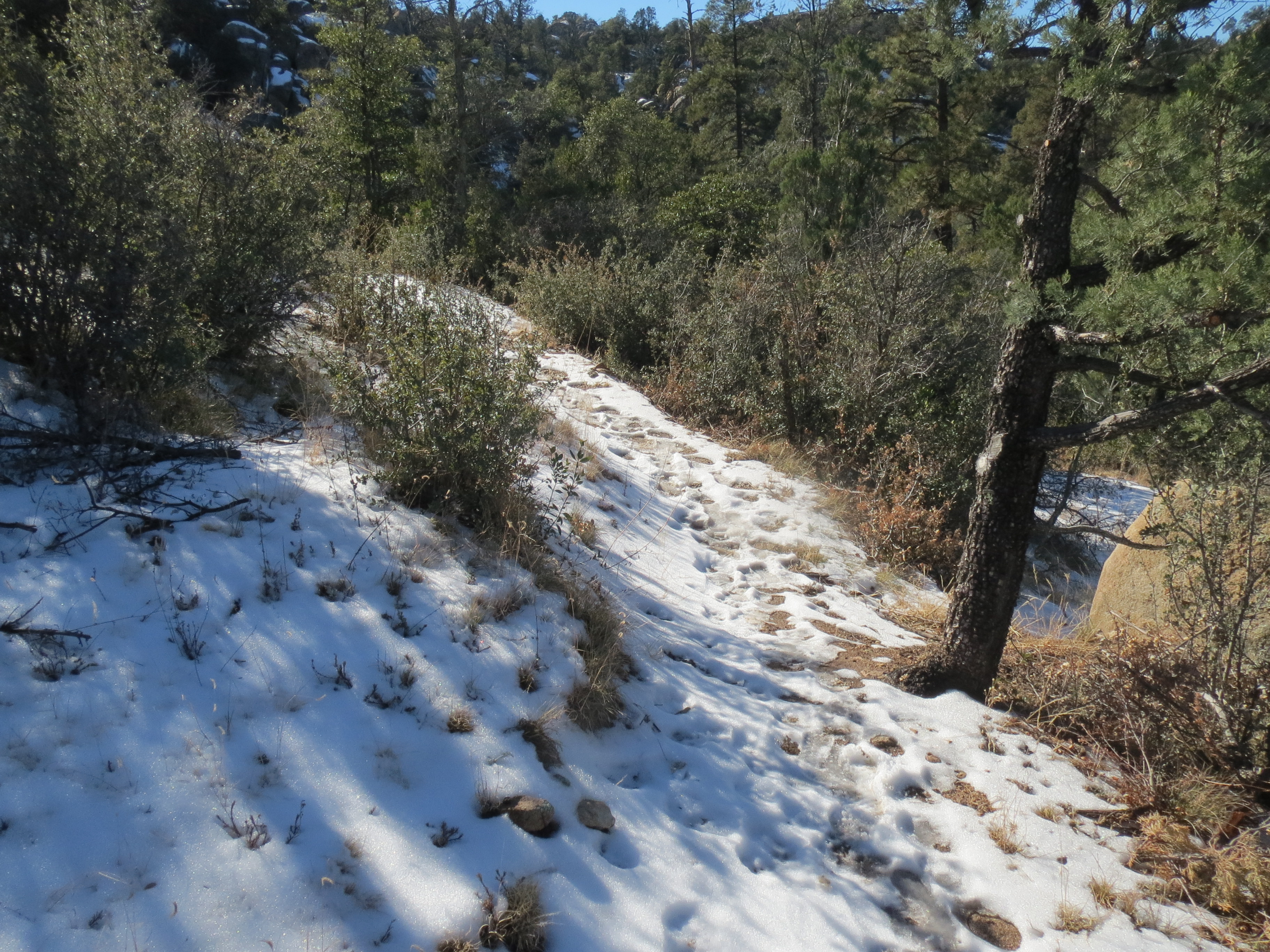
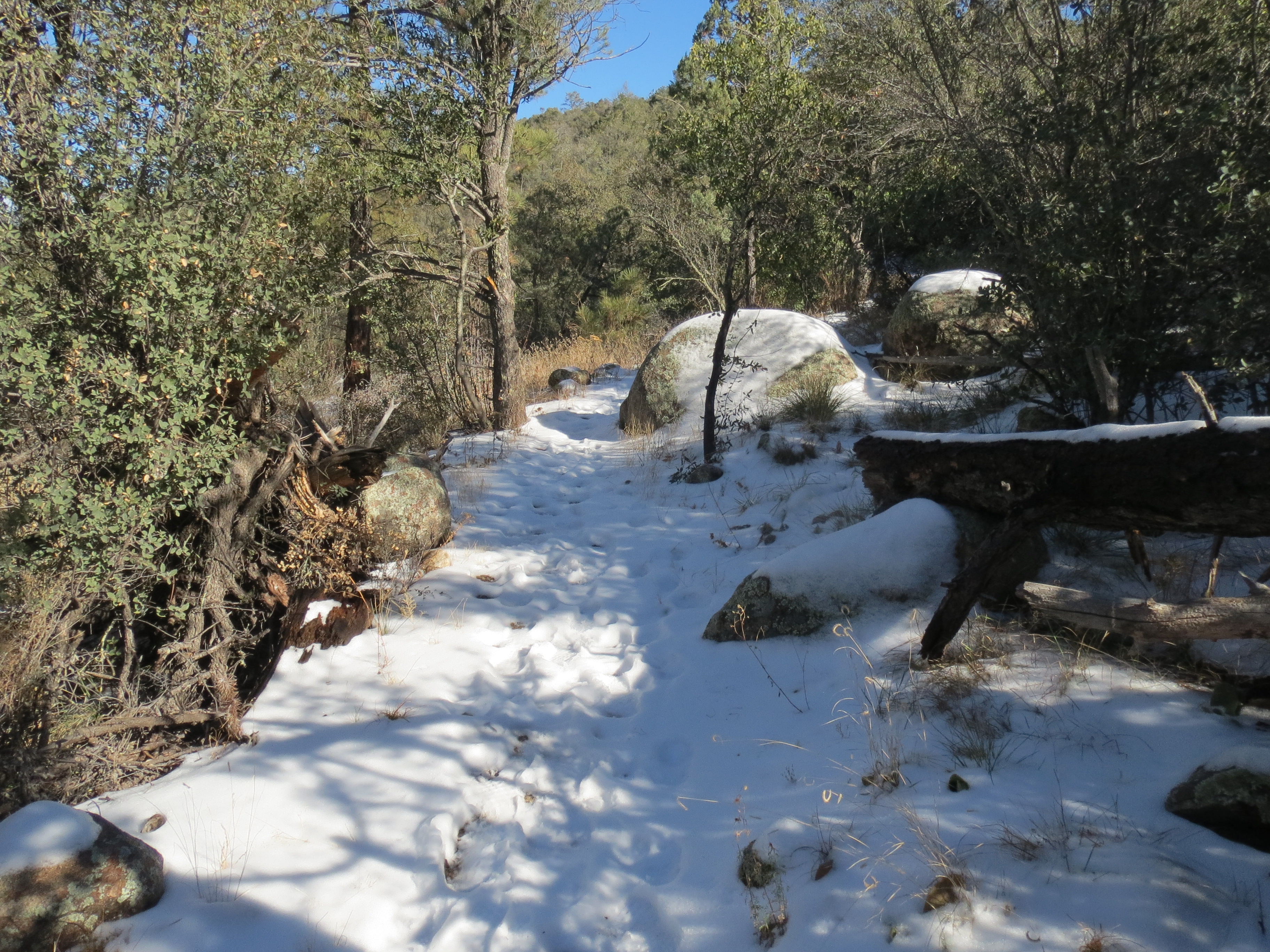
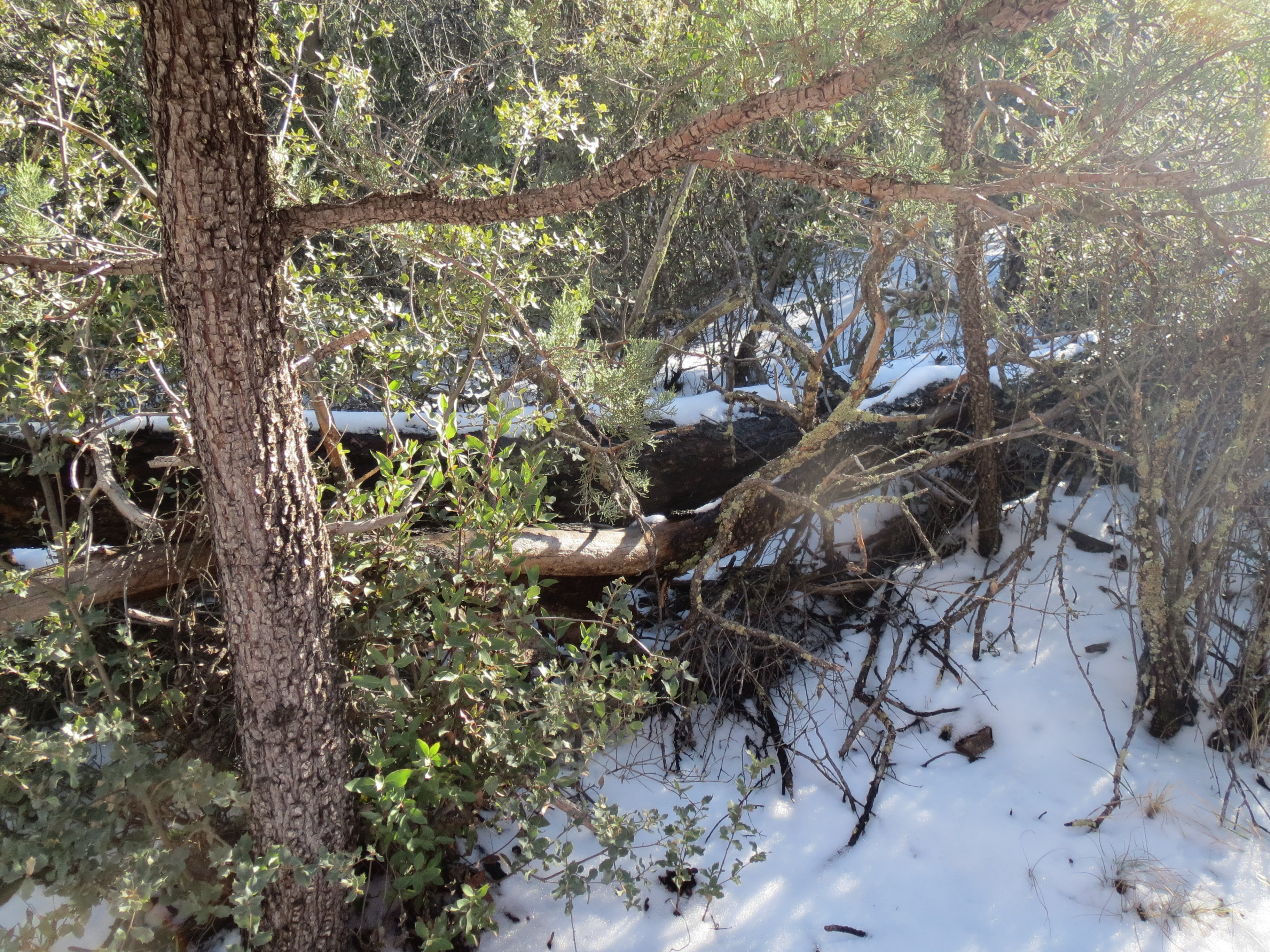
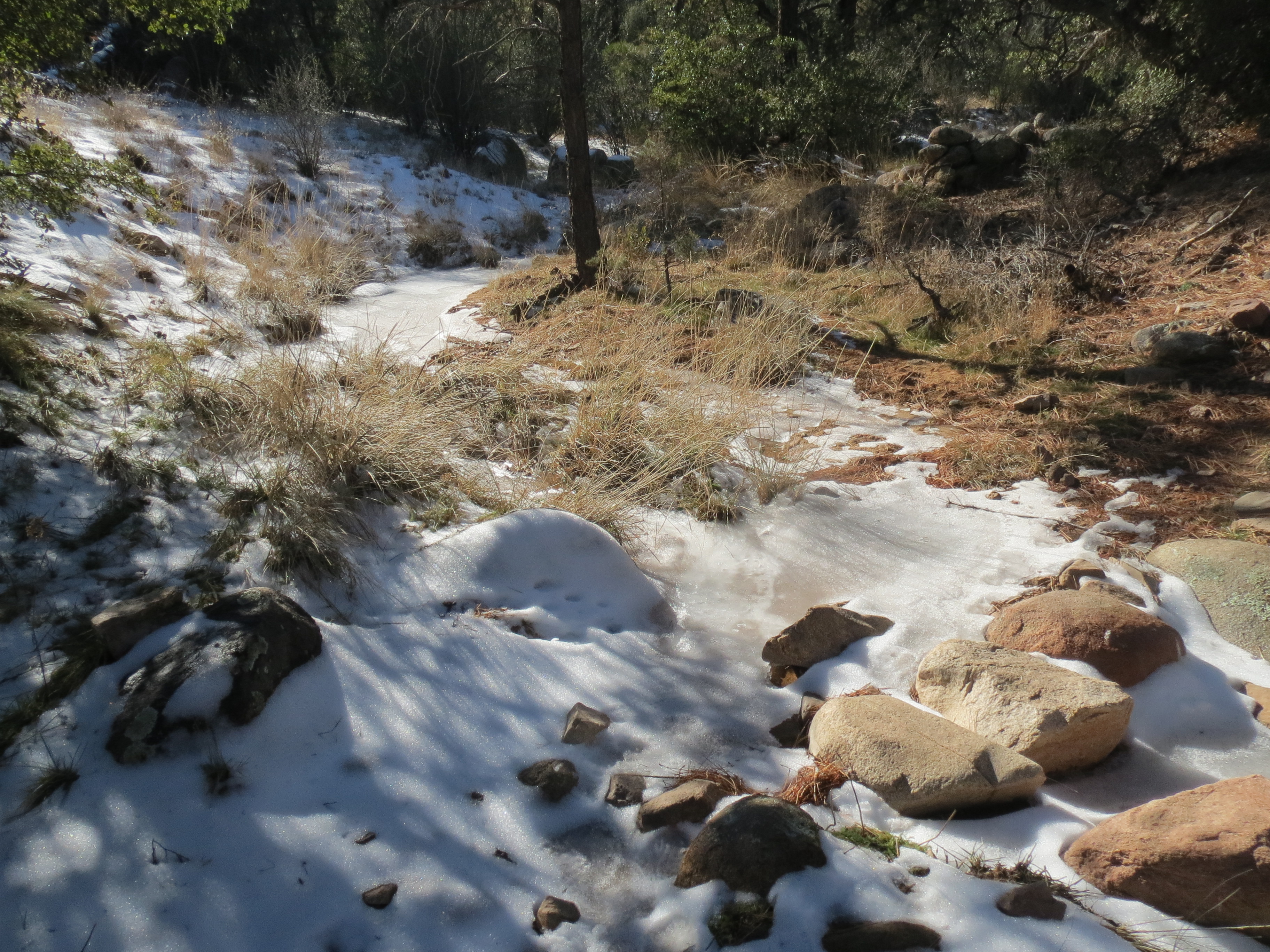
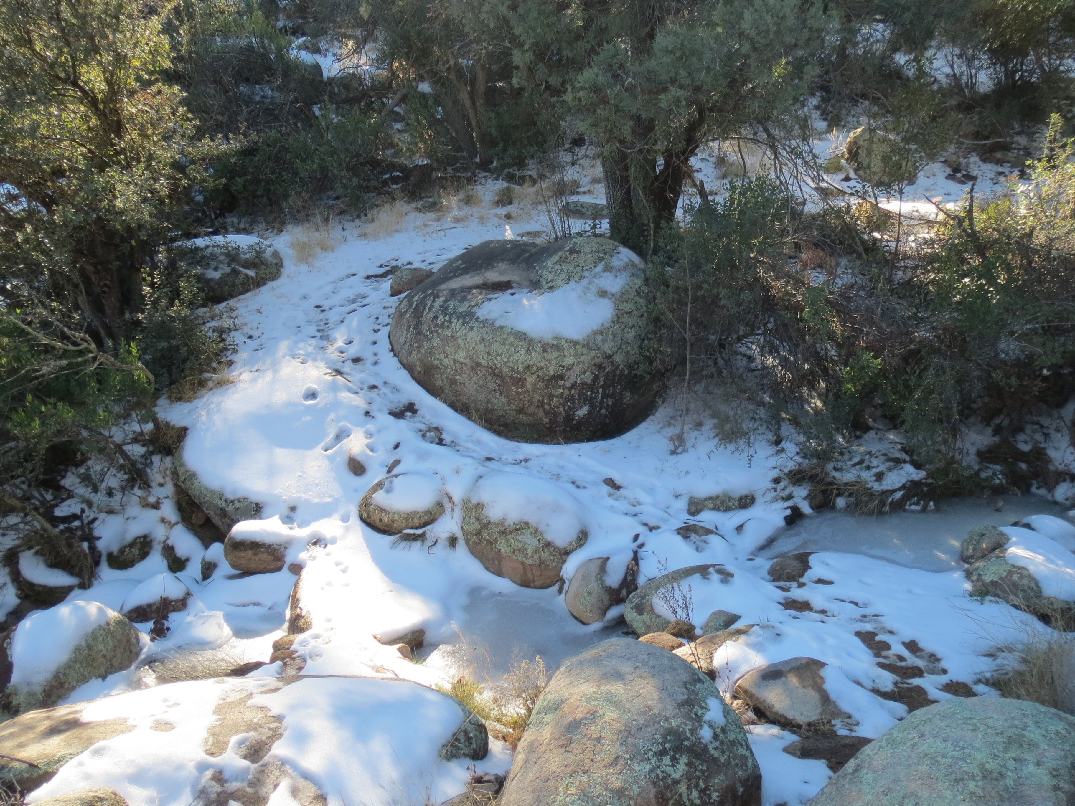
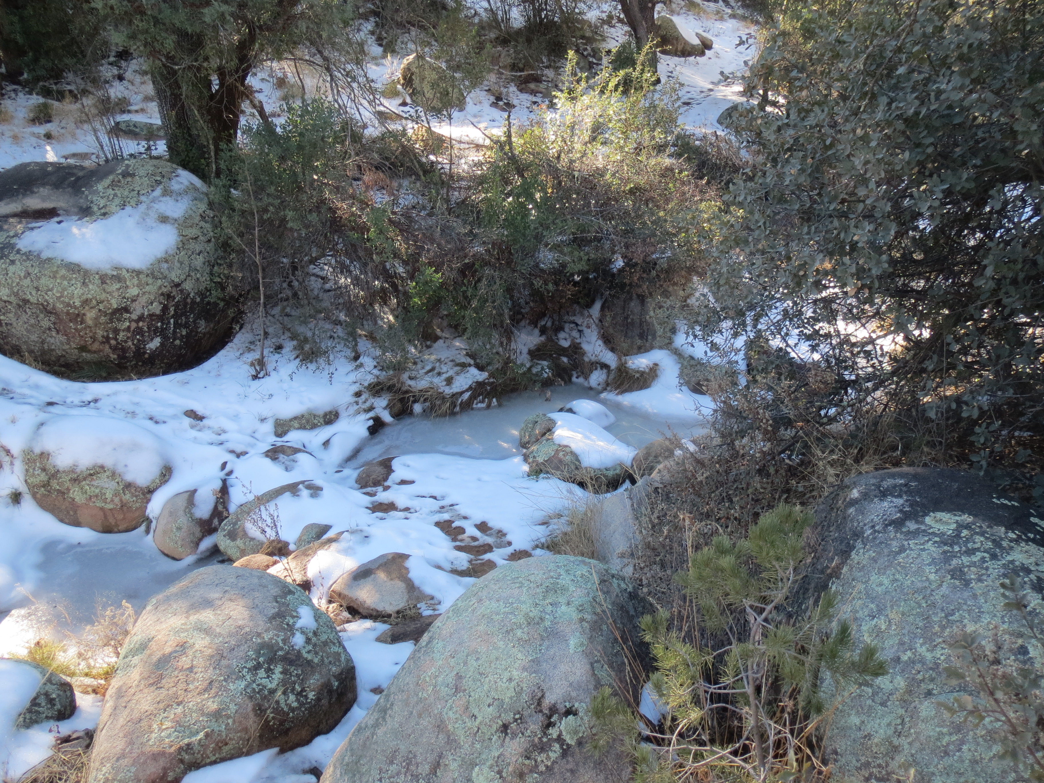
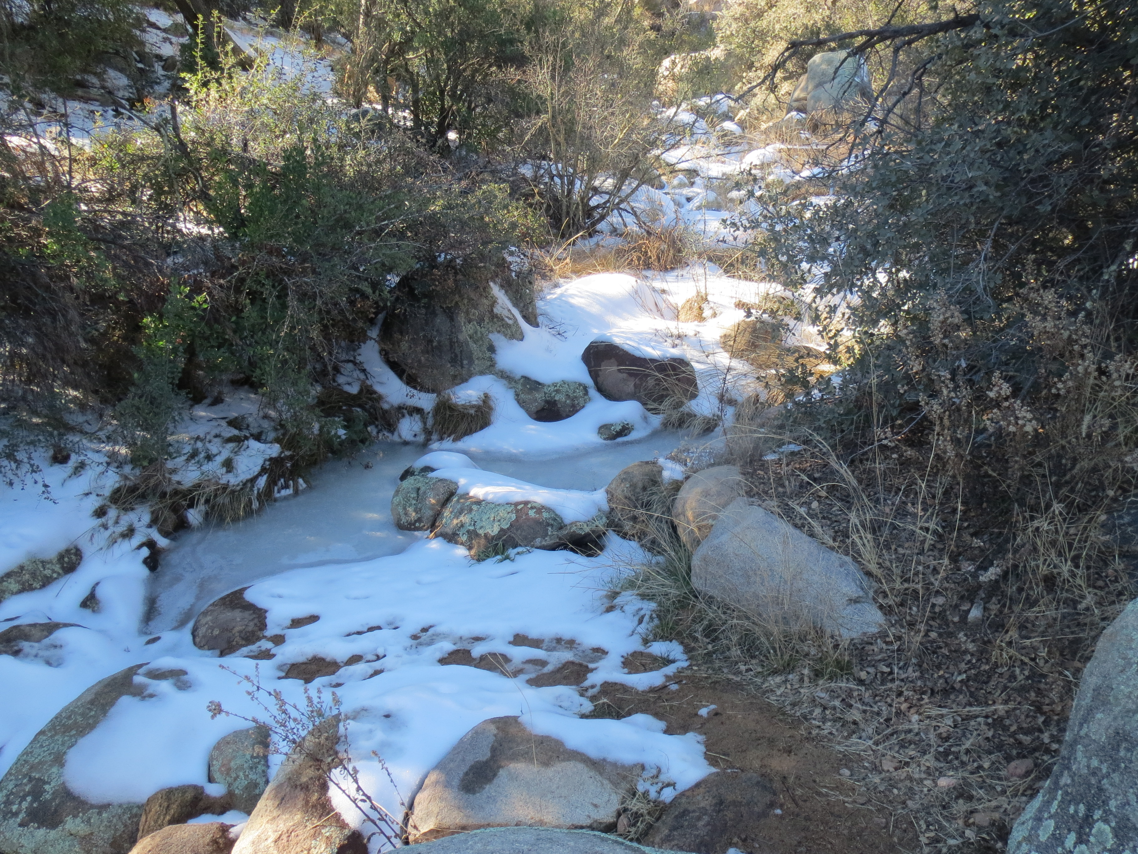
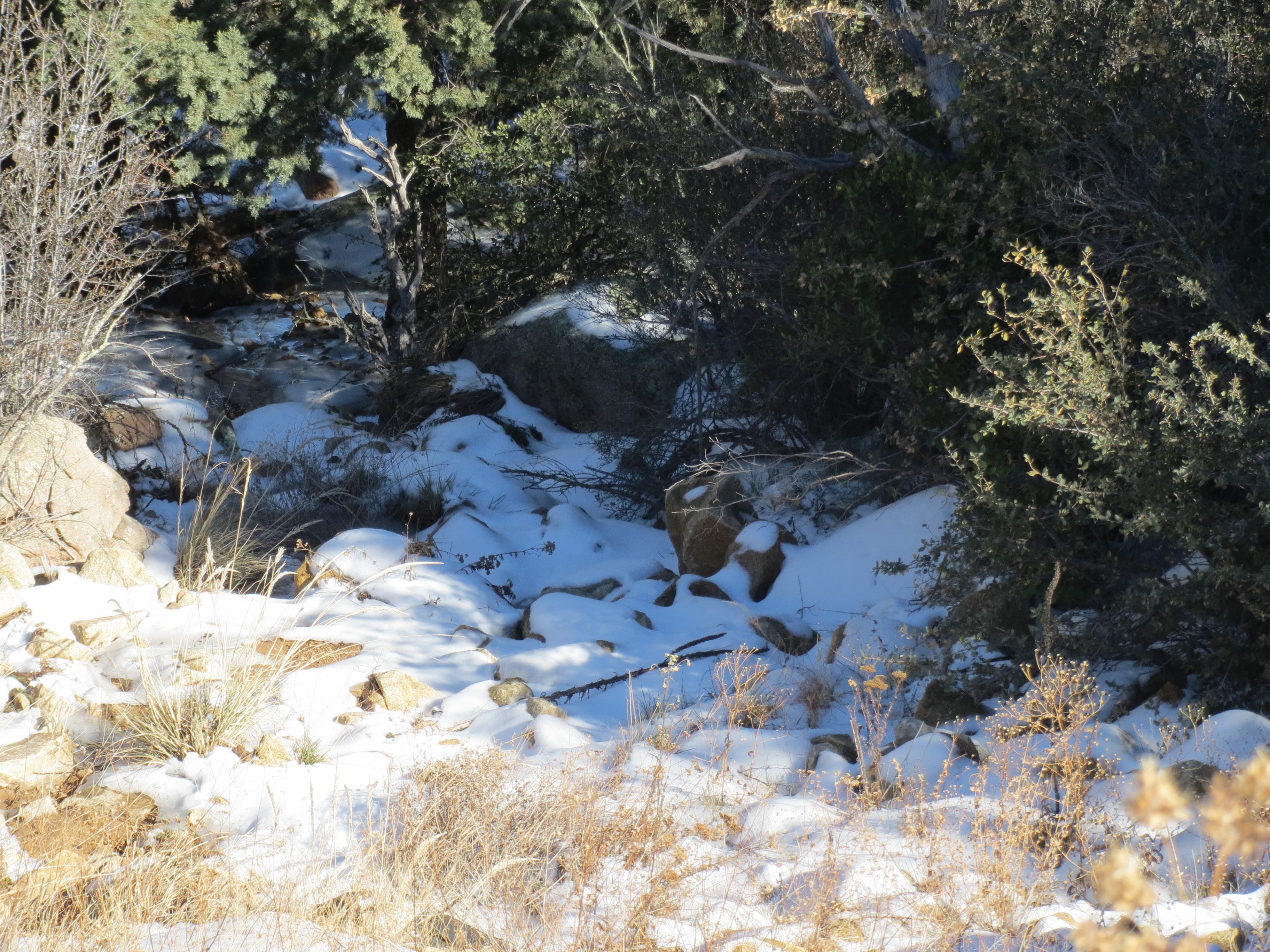
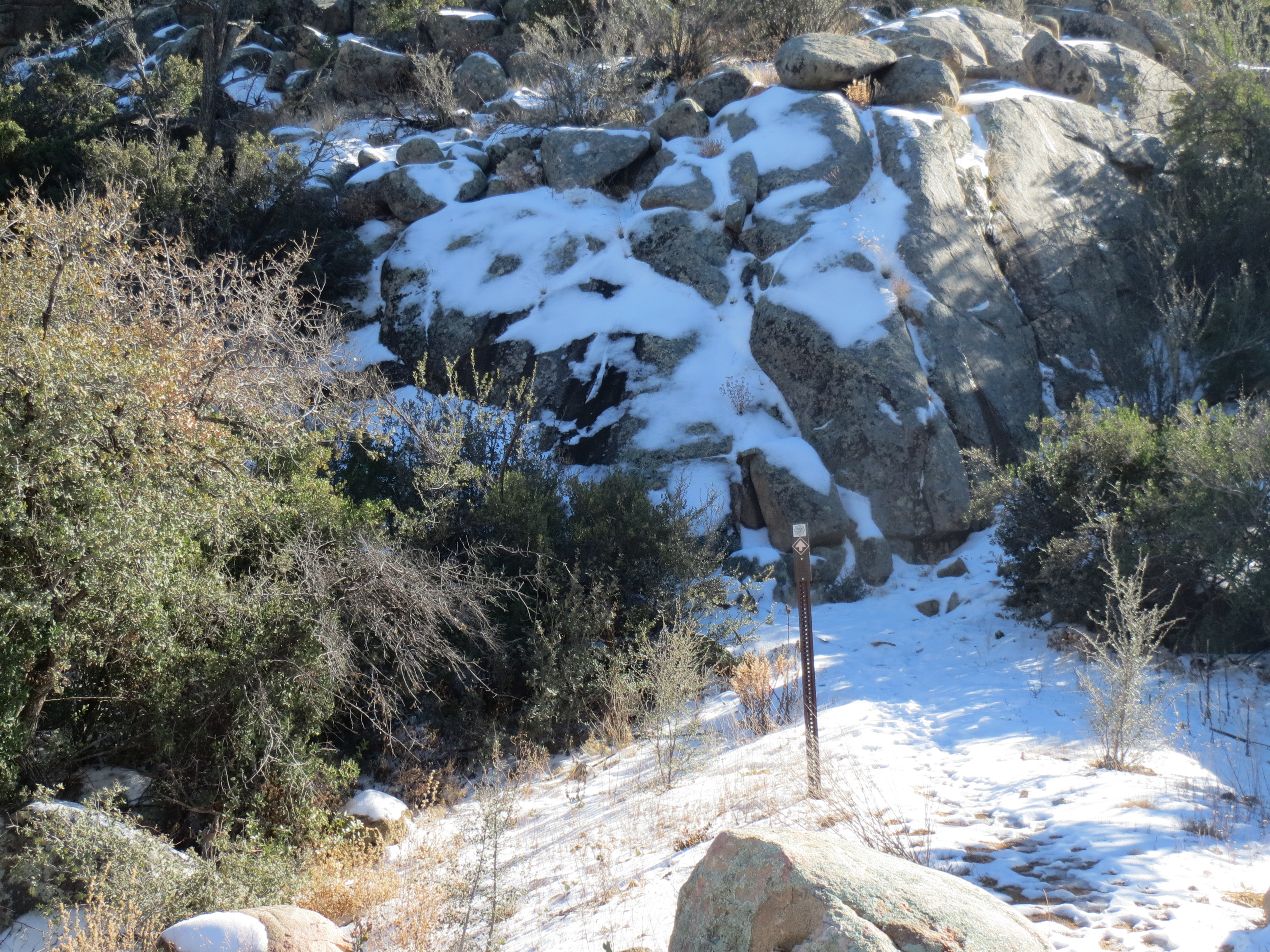
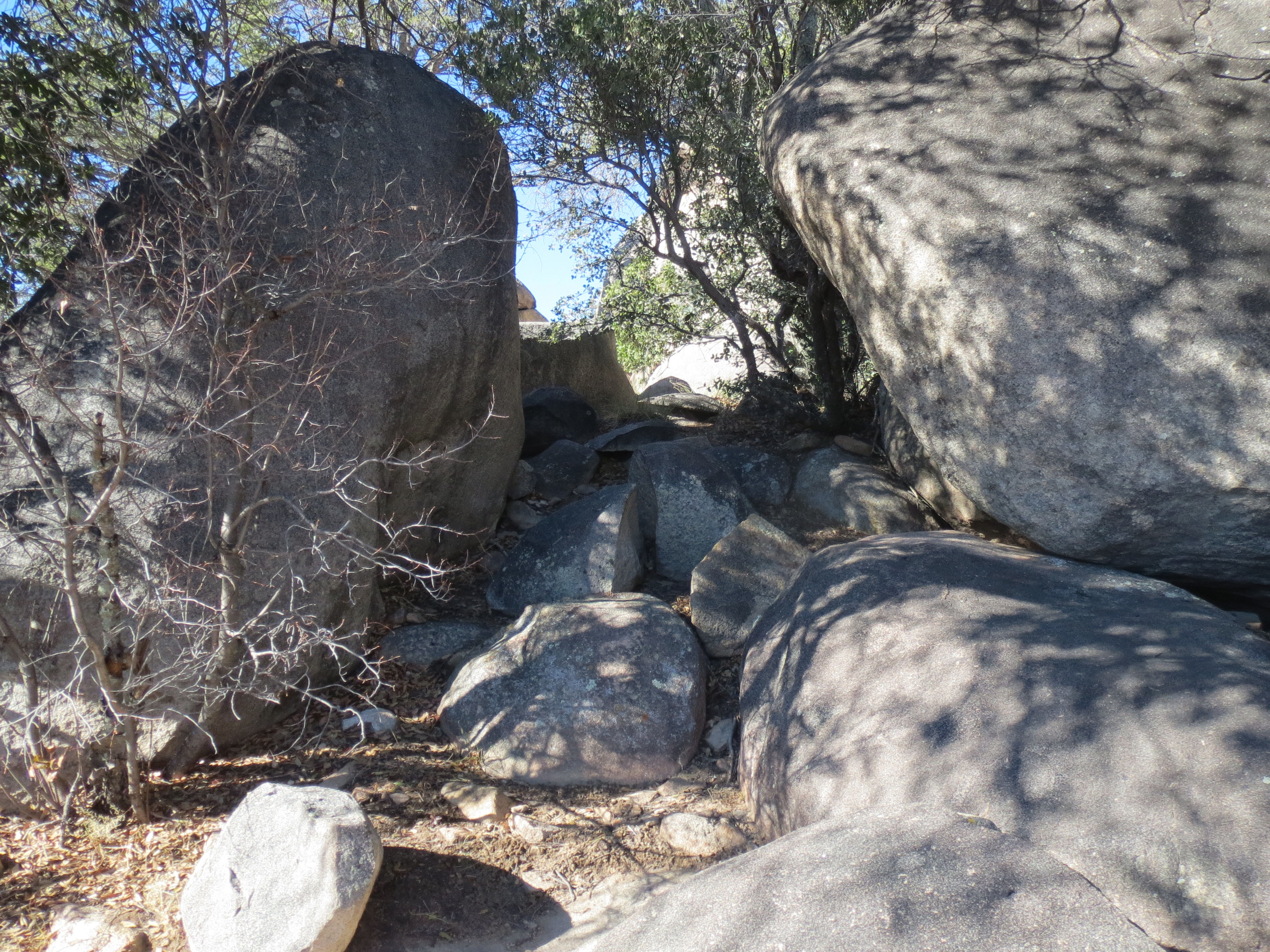
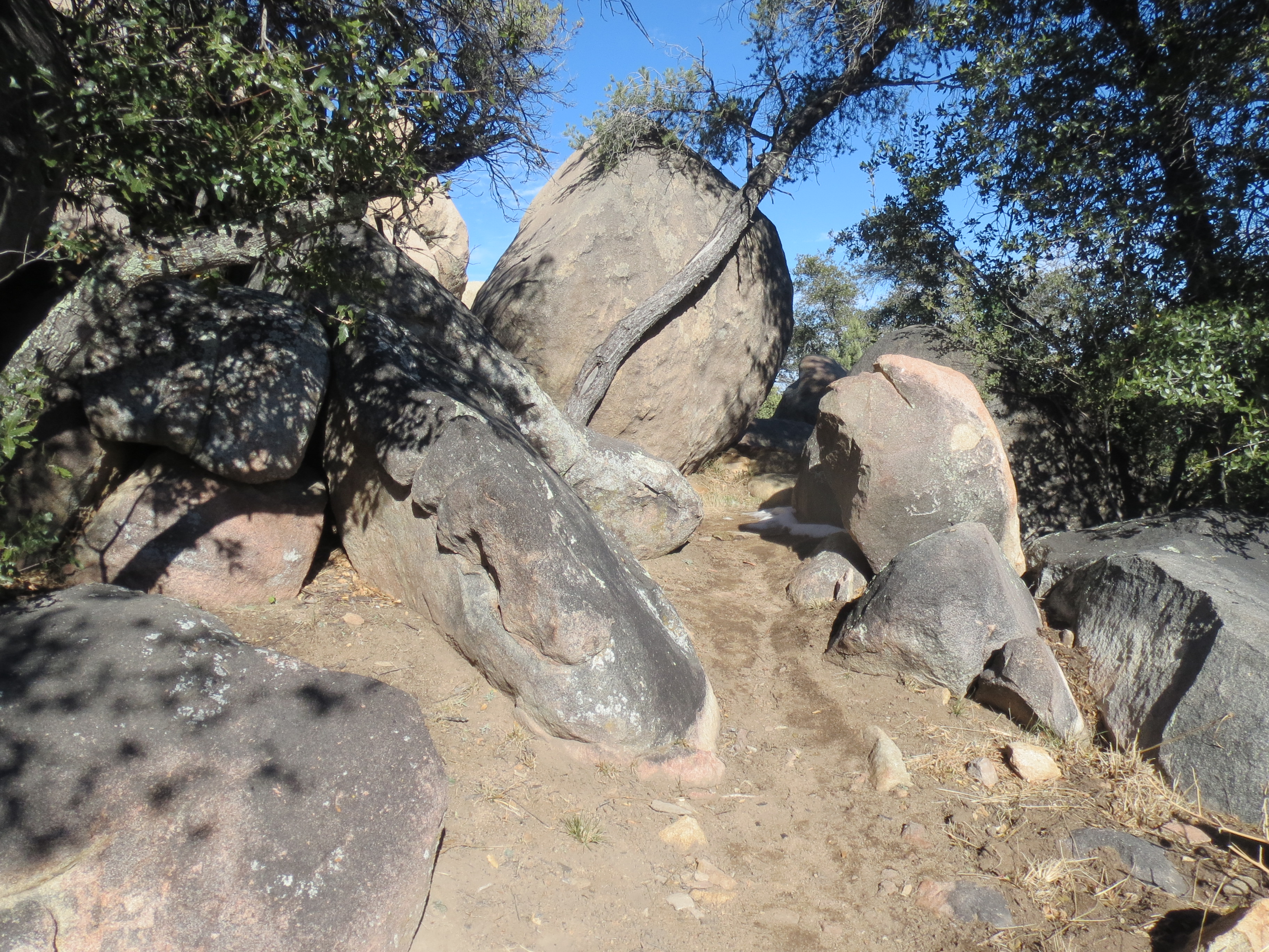
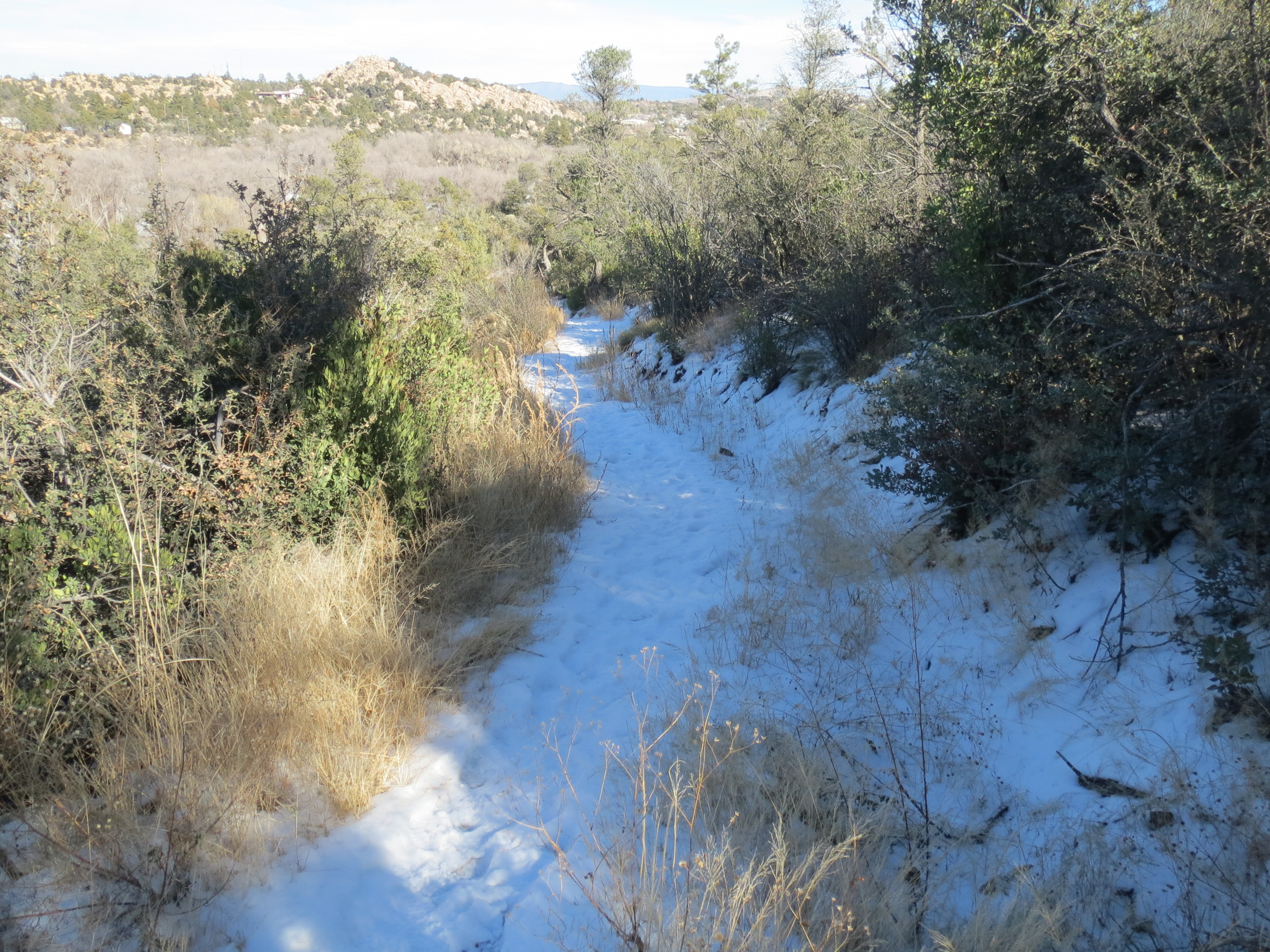
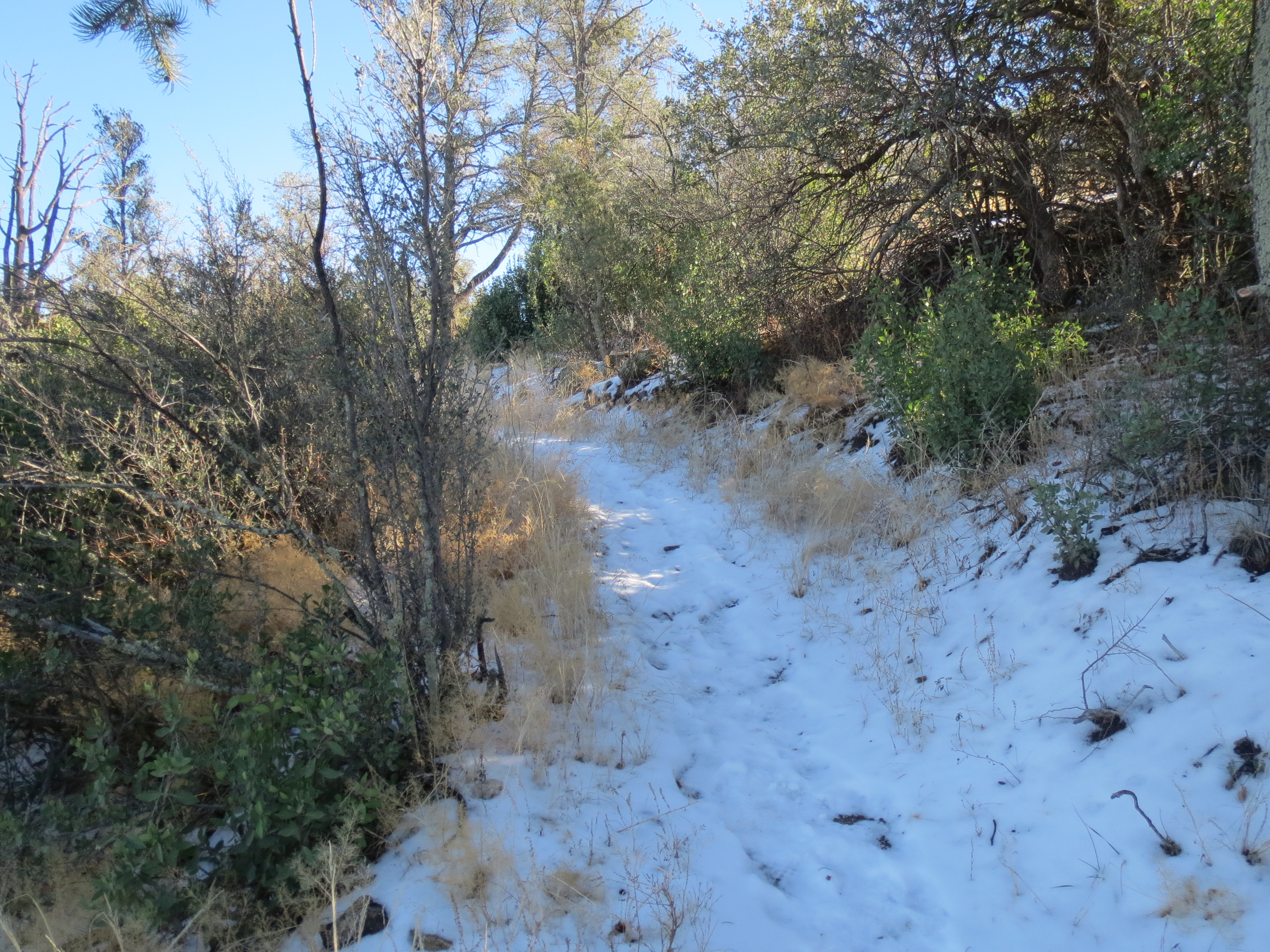
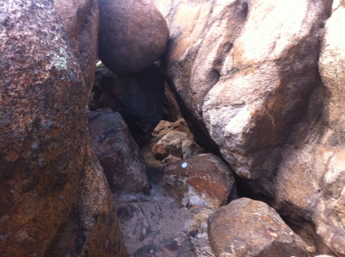
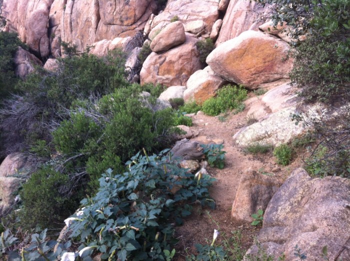
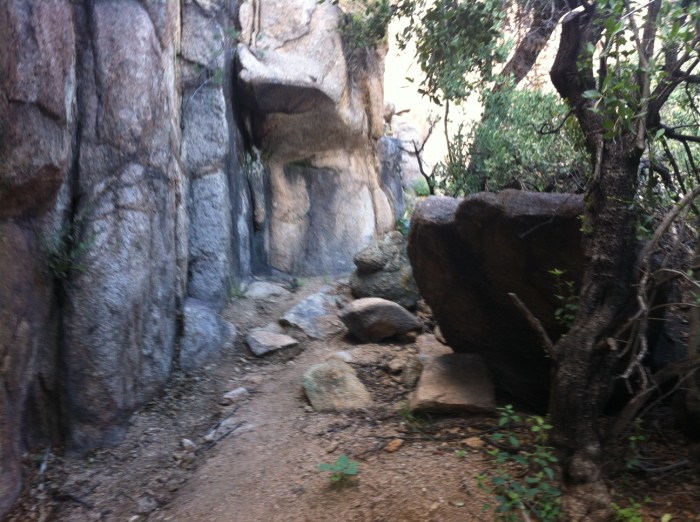
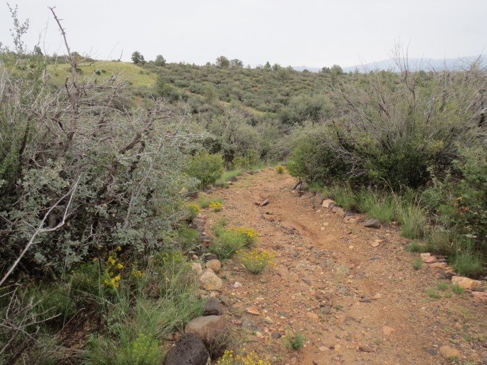
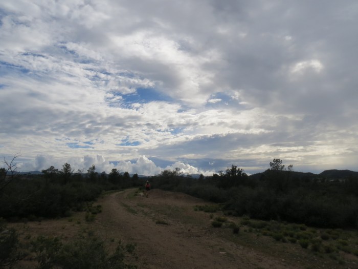
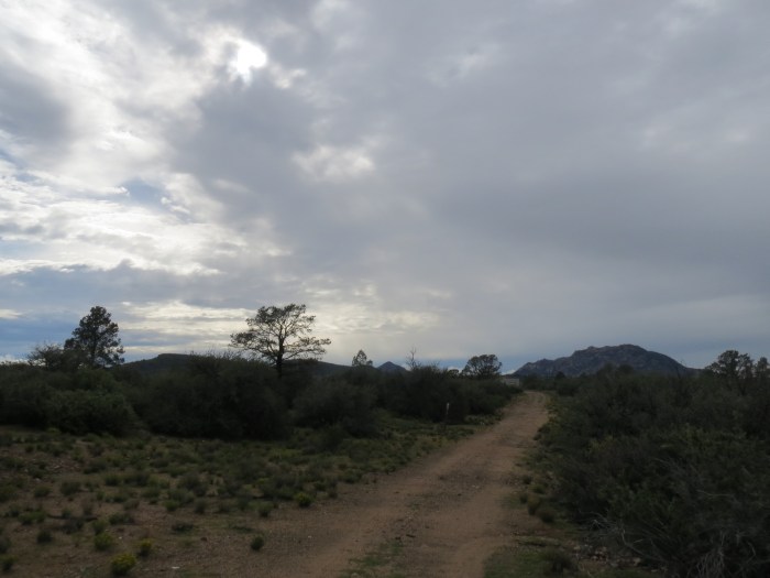
This trail is another very technical trail that has been cut as a narrow corridor, snaking it’s way through the maze of giant boulders in a deeply fractured landscape. Once you get relaxed and comfortable with the trail you can run it fairly quickly since it increases and decreases elevation throughout the entire route.

Elevation: 5447’ (low) – 5729’ (high)
Length: 2.0 mi.
Skill Level: Advanced

photo

photo (1)

photo4

photo3

photo2

Constellation Trails

Constellation Trails

I started my trail running exploration of the Prescott Mile-High Trail System with the Constellation Trails. The trail presents beautiful rock formations and scrub oak passageways. It is very technical with large boulders to navigate as well as sharp rocks along the trail.

Elevation: 5016’ (low) – 5229’ (high)
Length: 2.74 mi.
Skill Level: Advanced

photo2

photo5

photo

photo3

photo7

photo6

Happy Trail Running :-)

Hello Mountains

Hello Mountains

My family and I just completed our move from Phoenix to the small beautiful mountain community of Prescott, AZ

Prescottscenic

The Mile-High Trail System has 48 miles city trails and The Prescott National Forest provide over 848 miles of trails with elevations ranging between 5,000 to 8,000 feet. Over the coming months I will be exploring and documenting all of these great trails.

carlos_acker

Happy trail running :-)