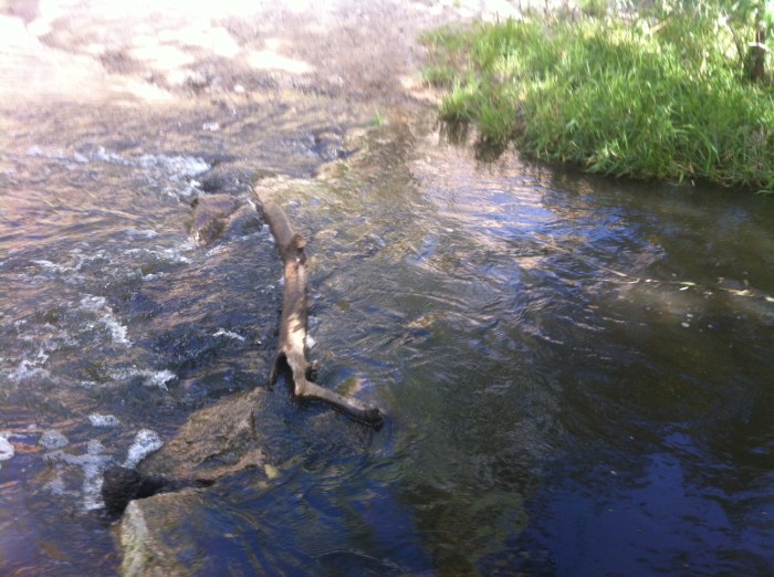
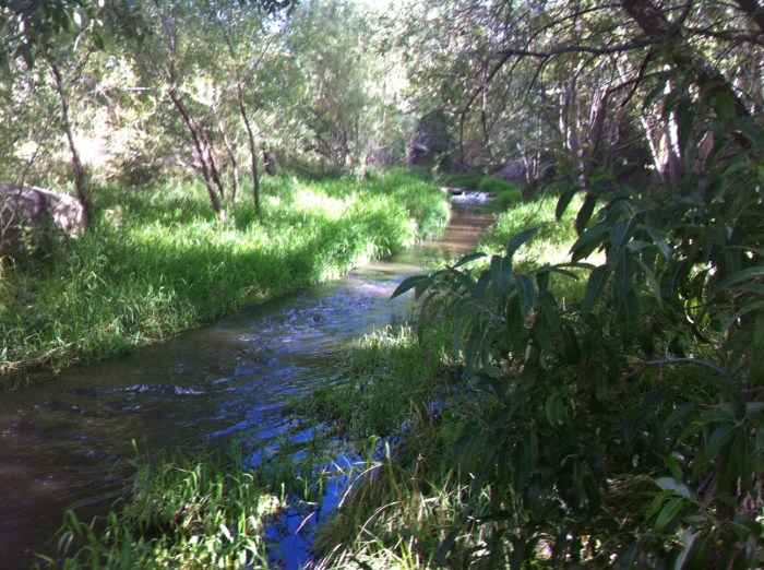
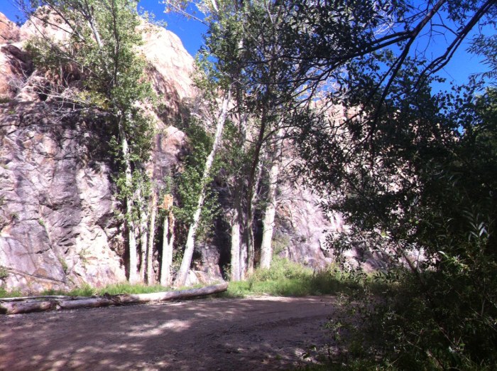
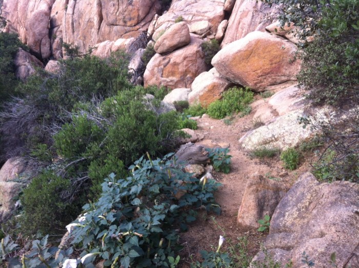
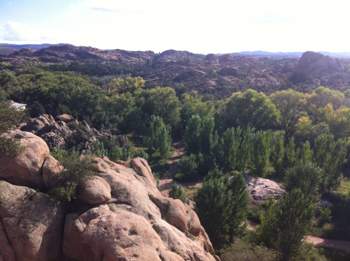
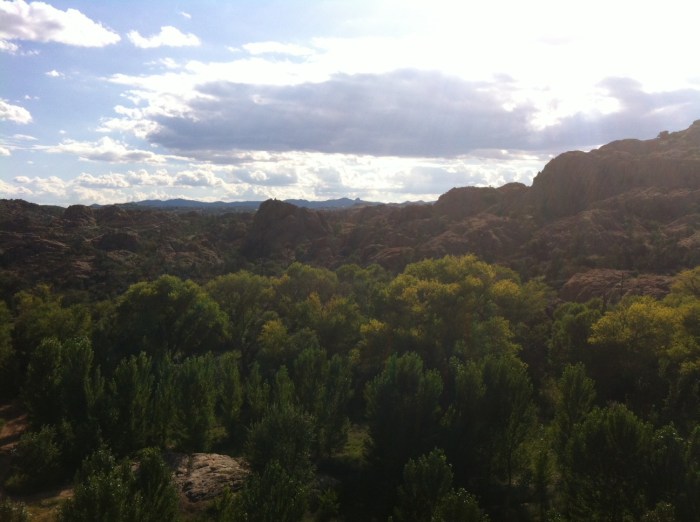
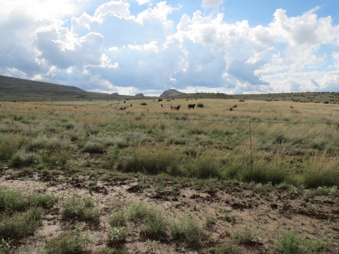
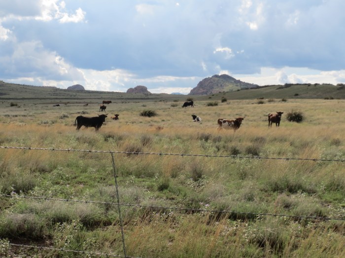
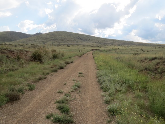
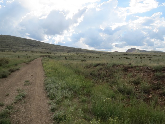
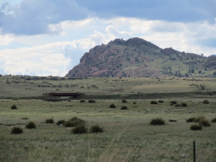
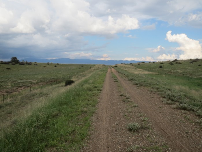
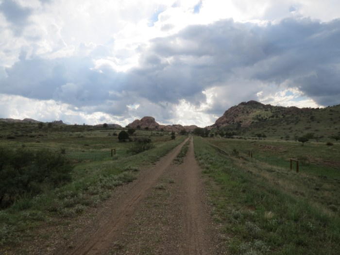
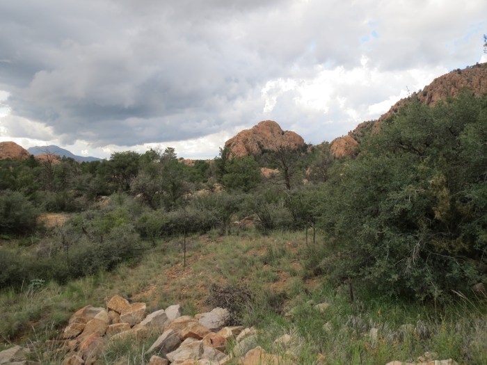
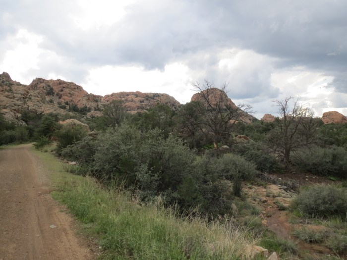
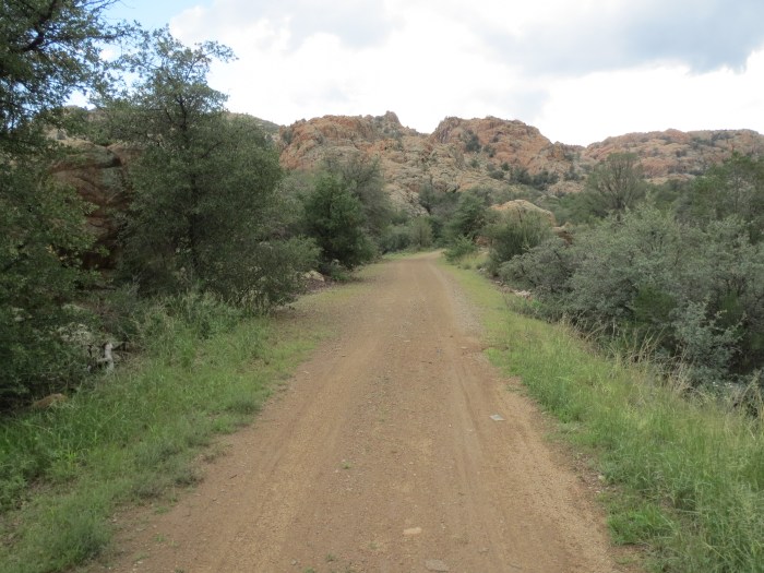
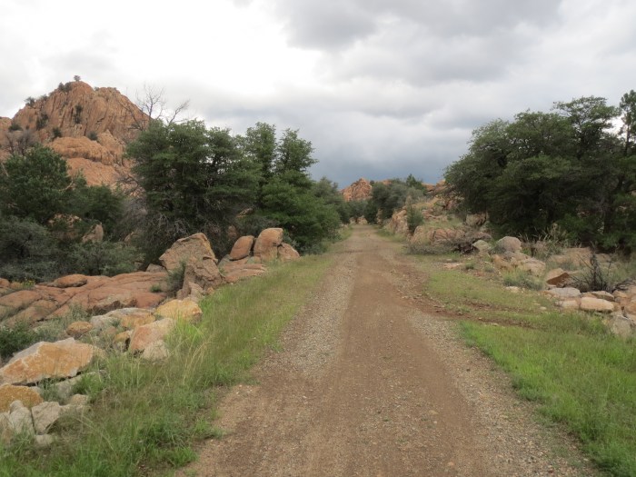
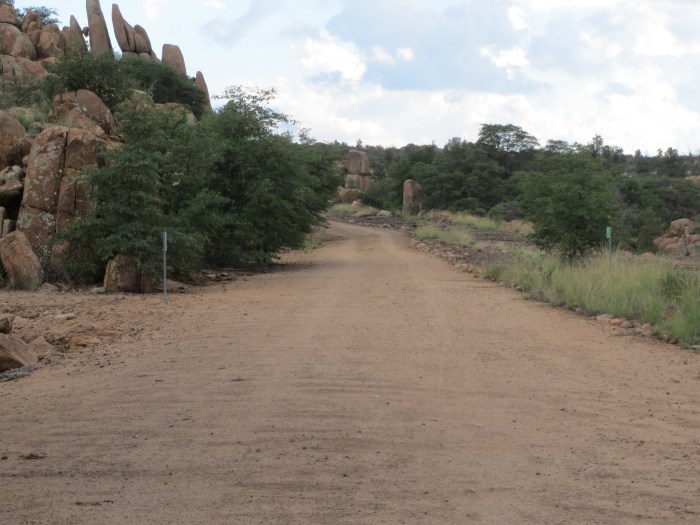
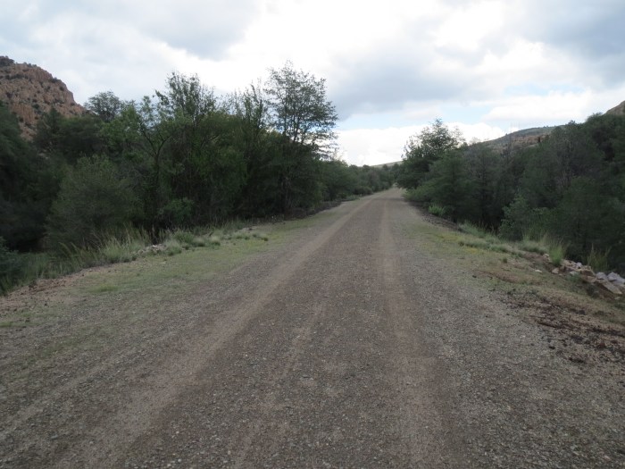
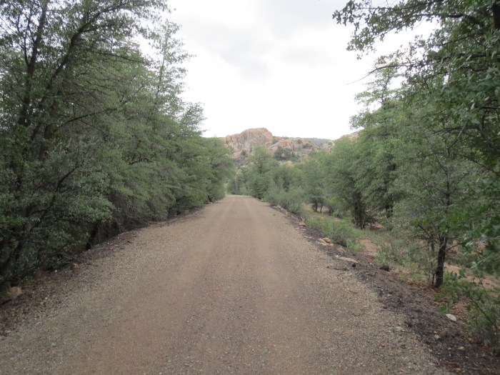
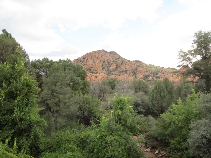
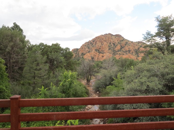
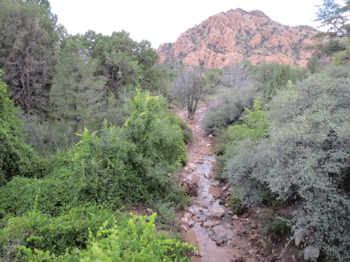
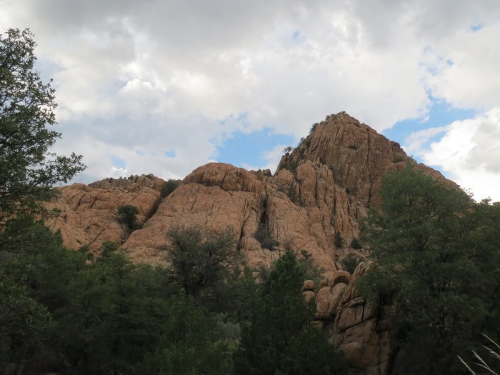
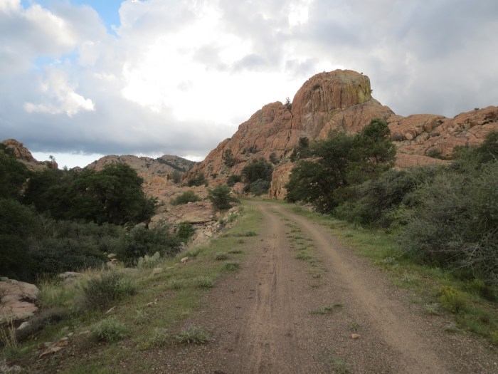
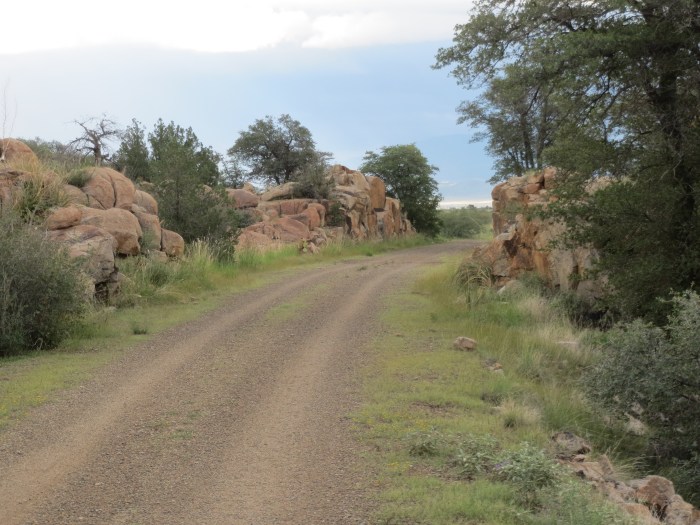
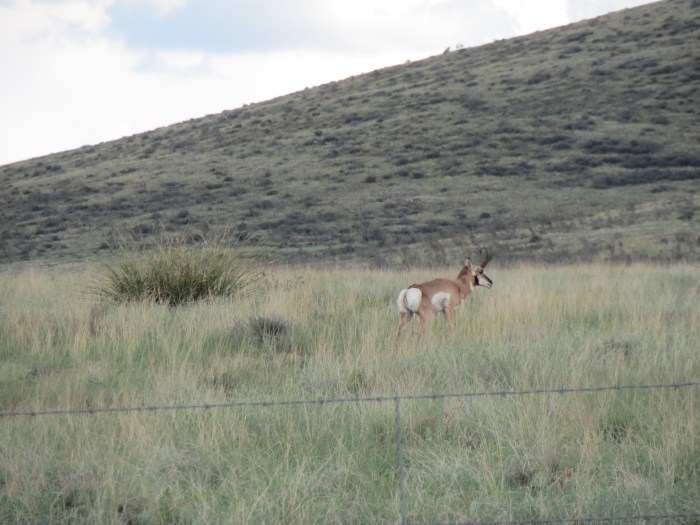
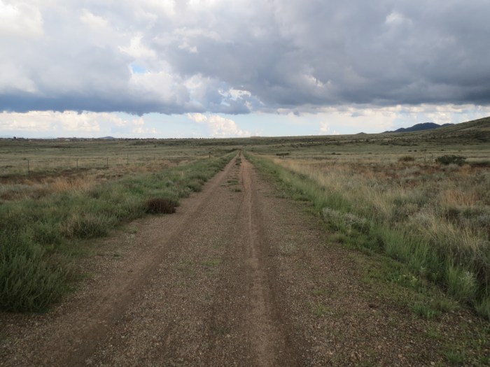
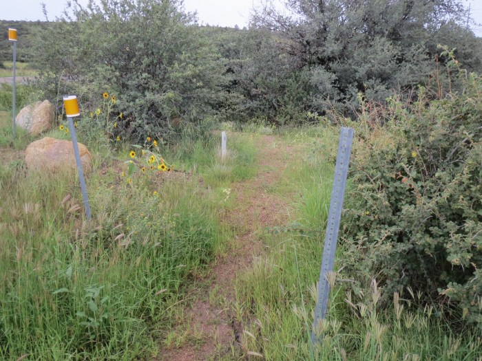
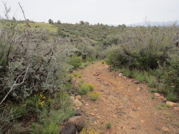
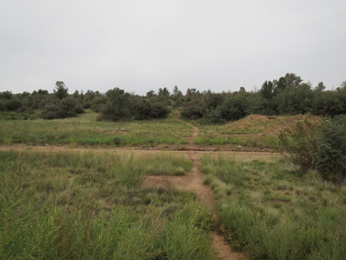
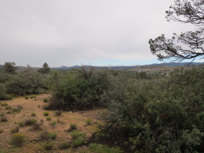
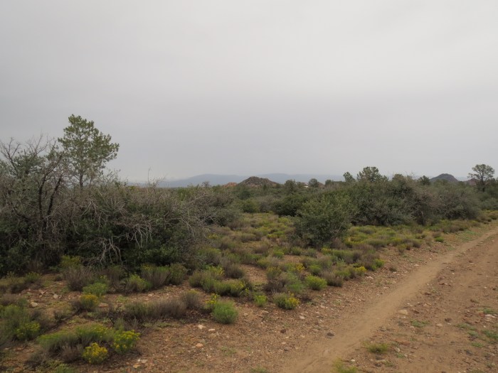
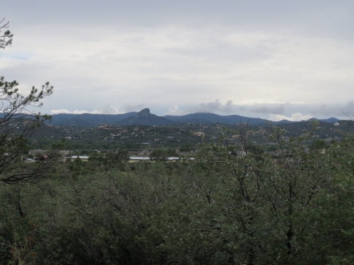
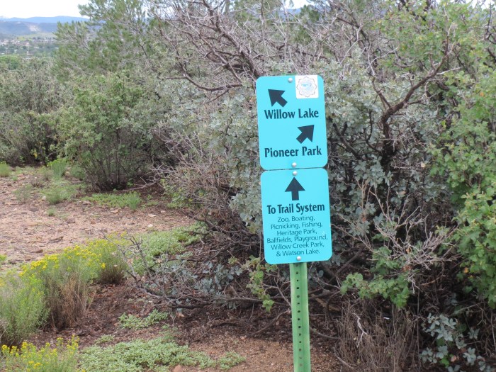
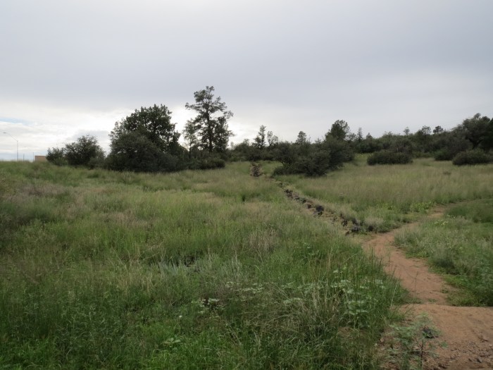
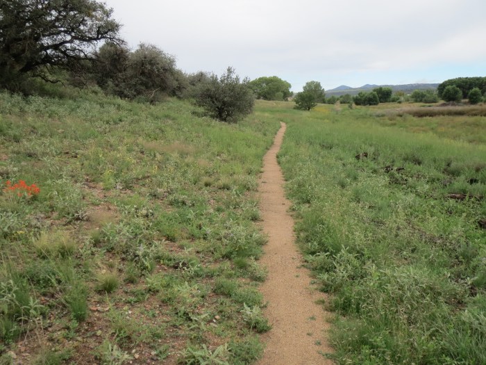
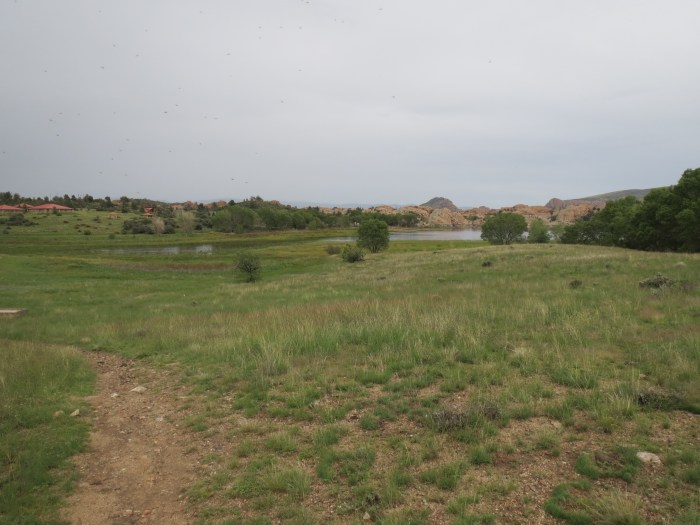
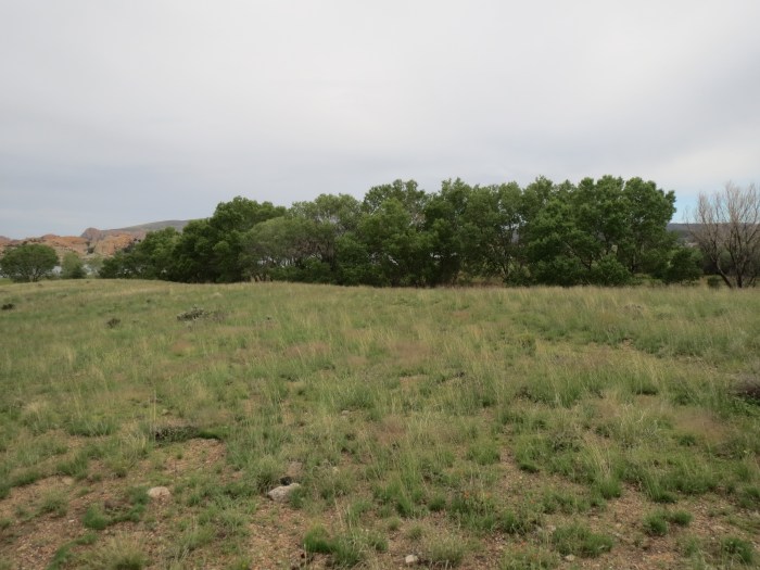
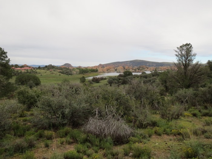
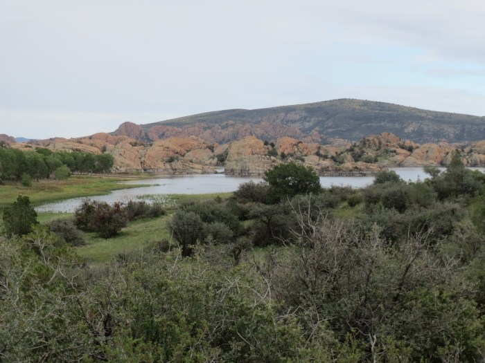
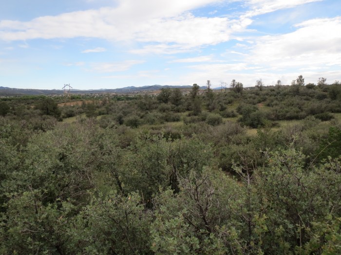
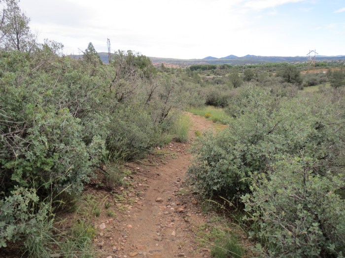
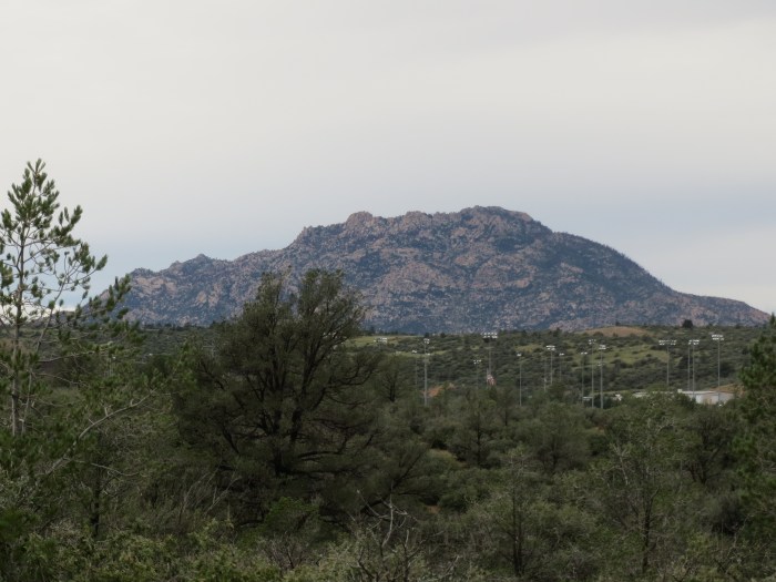
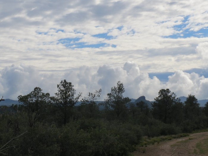
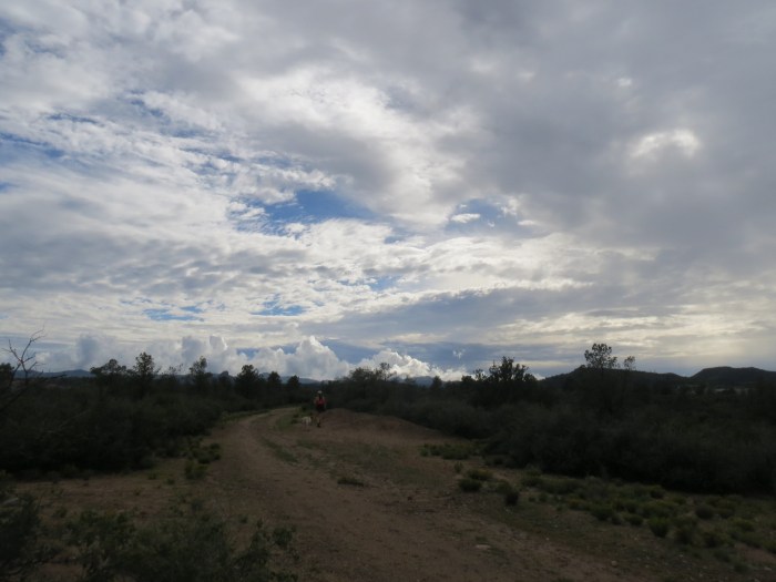
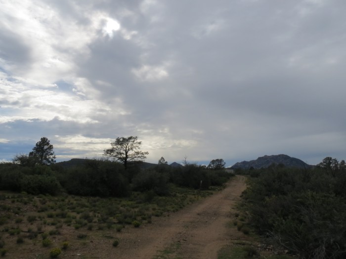
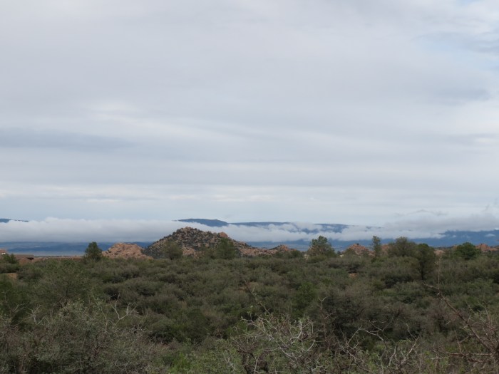
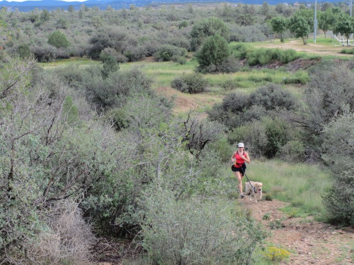
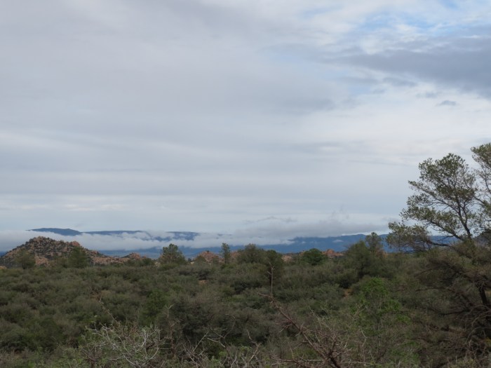
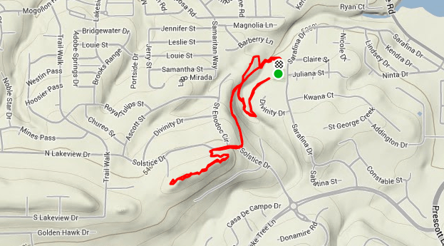
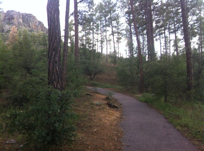
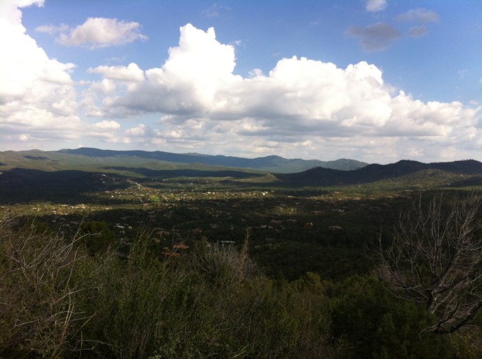
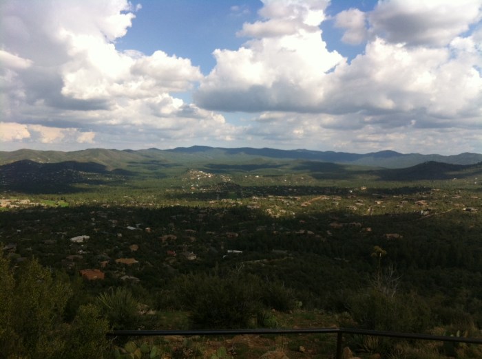
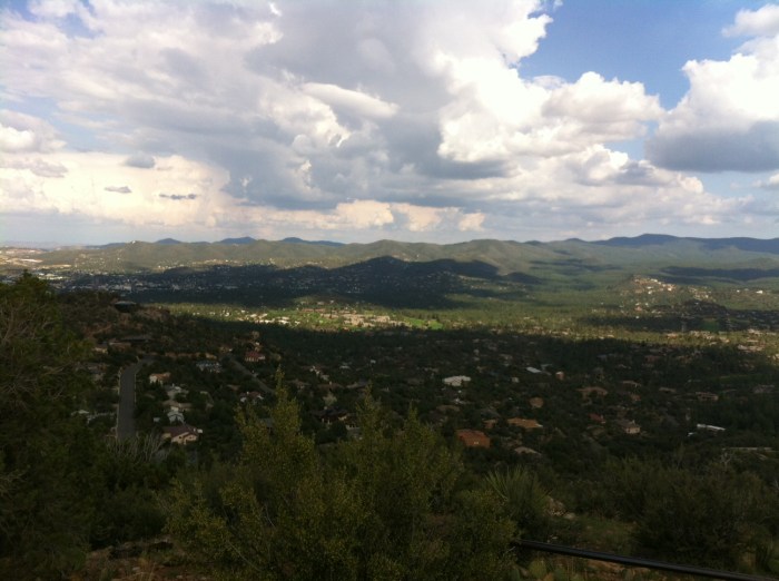
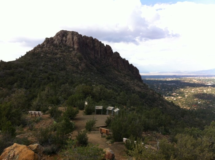
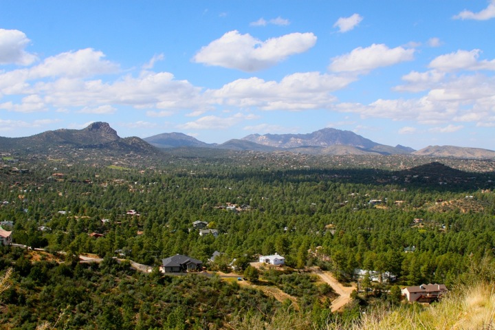
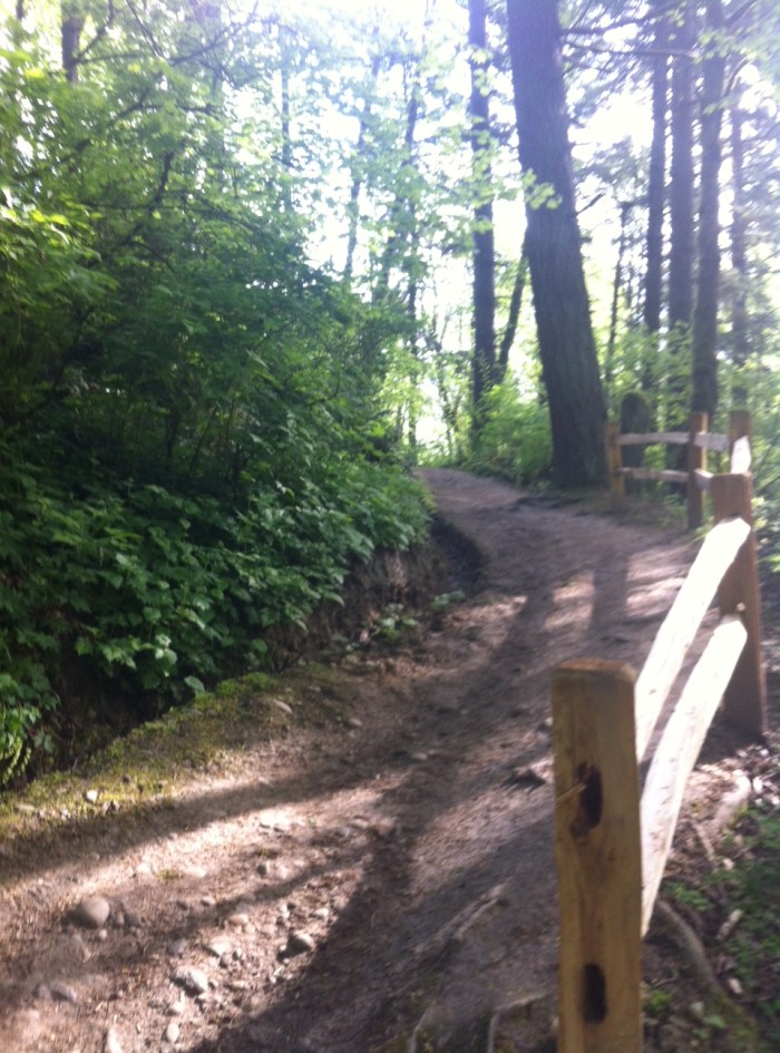
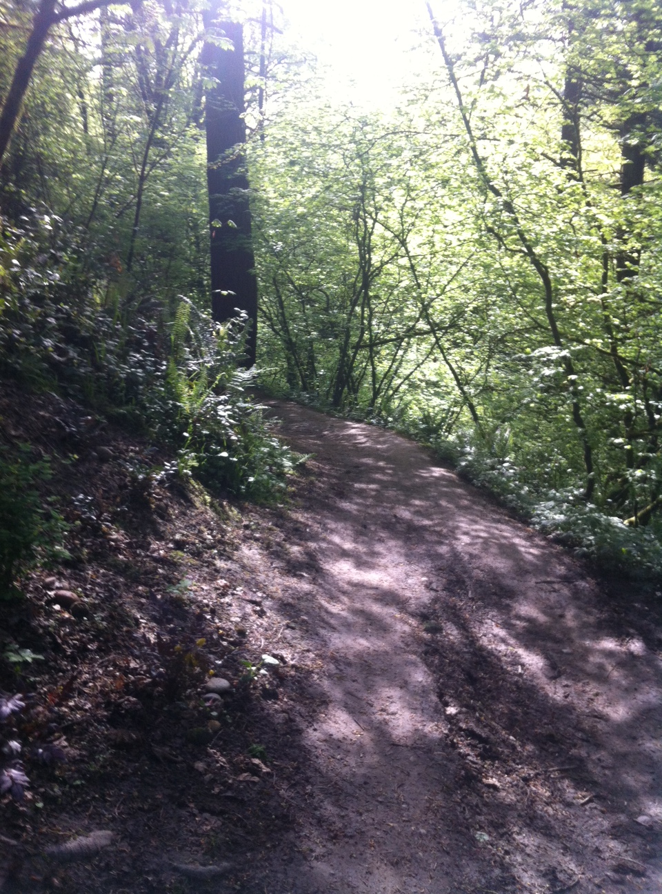
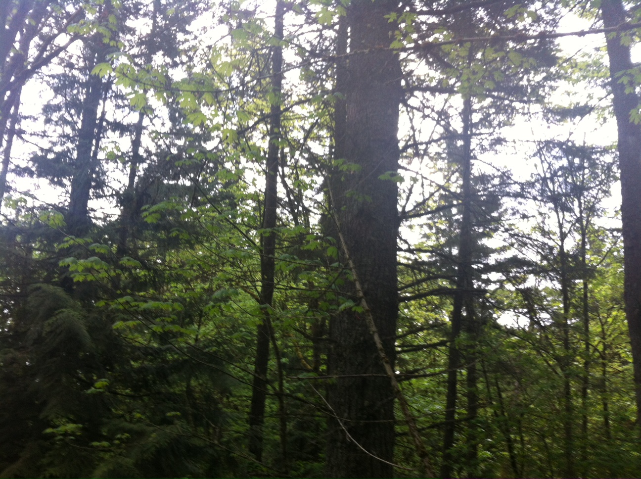
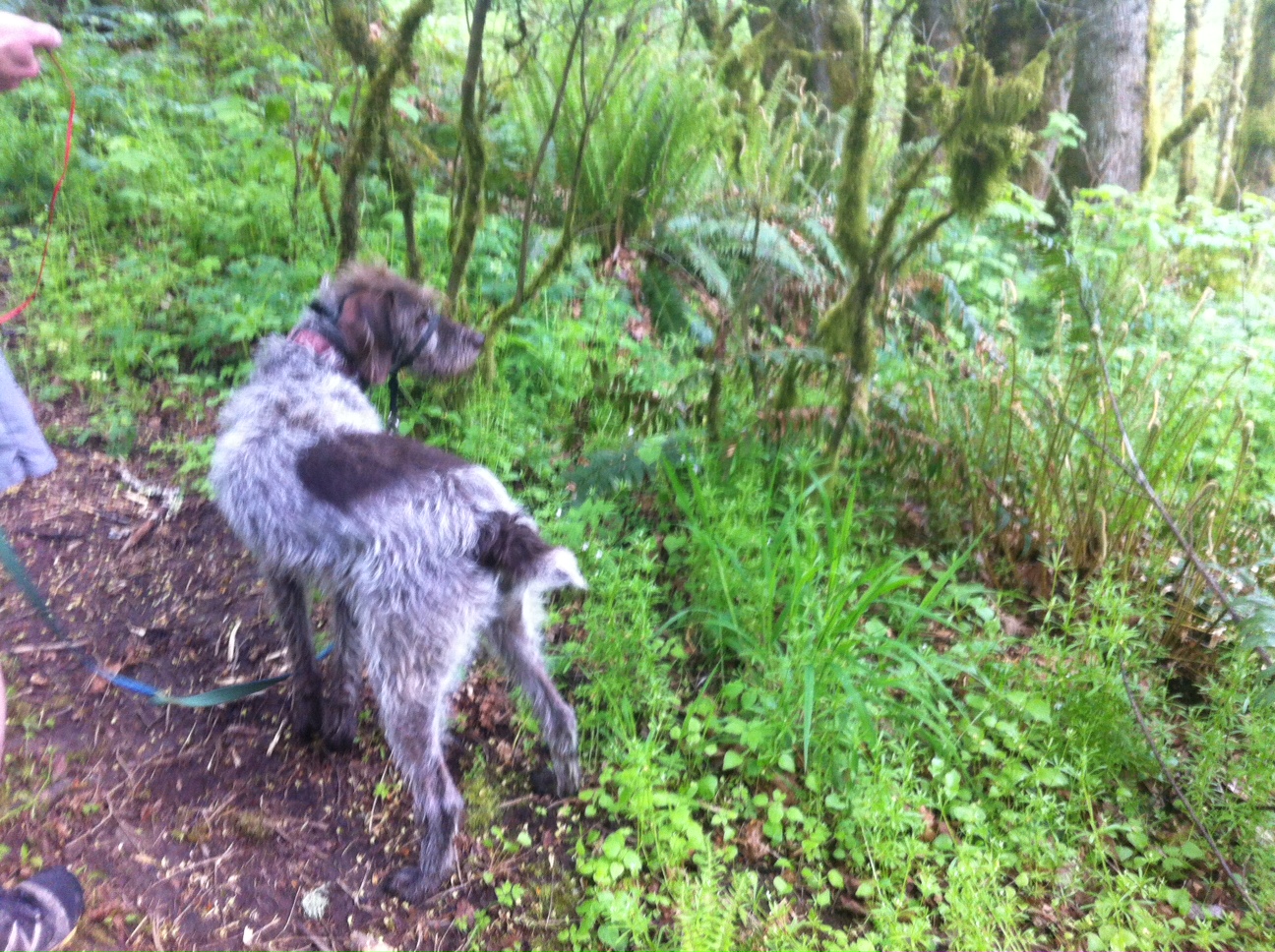
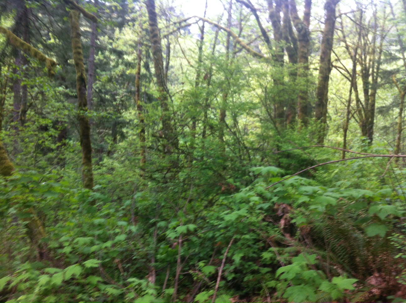
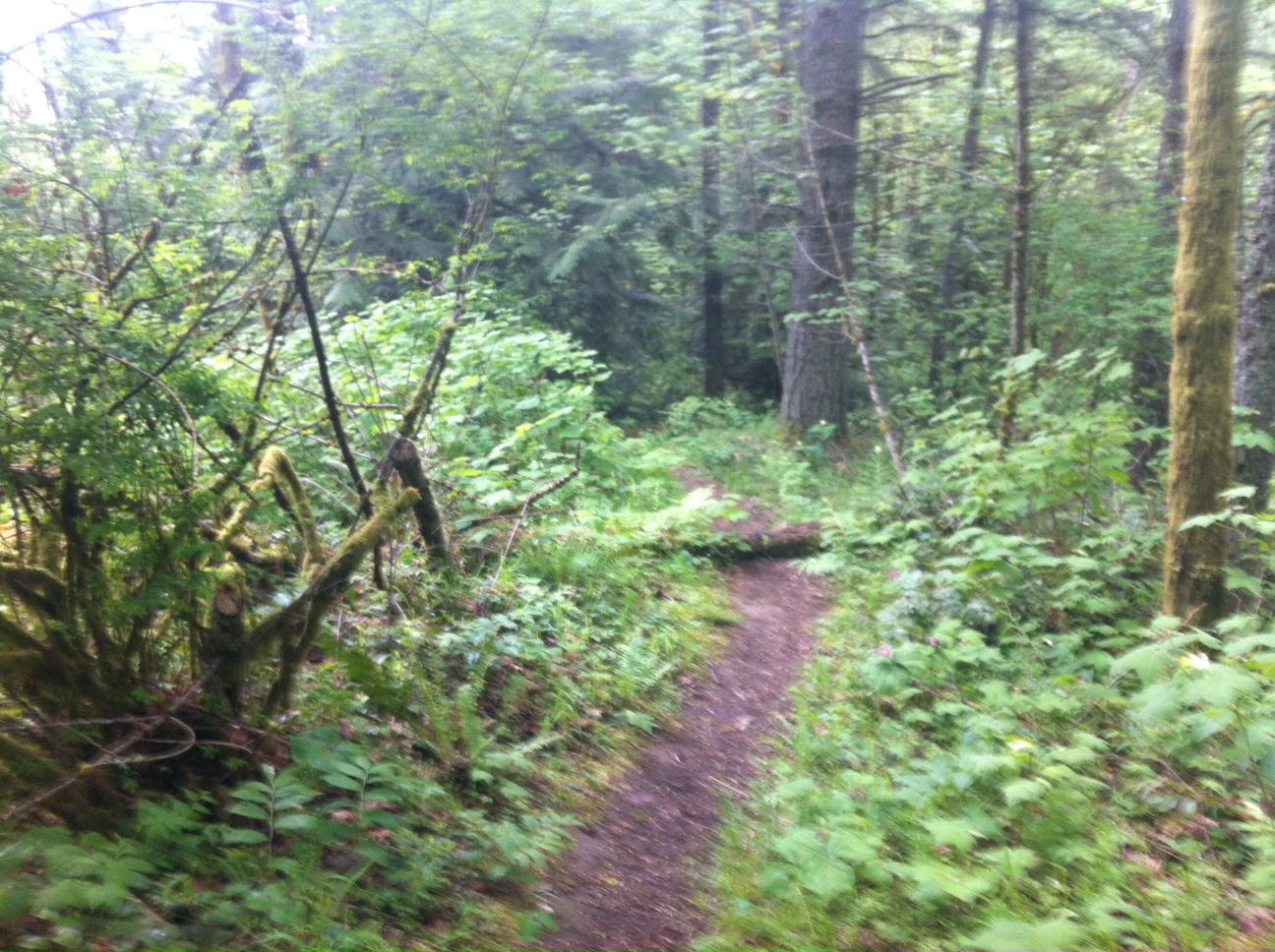
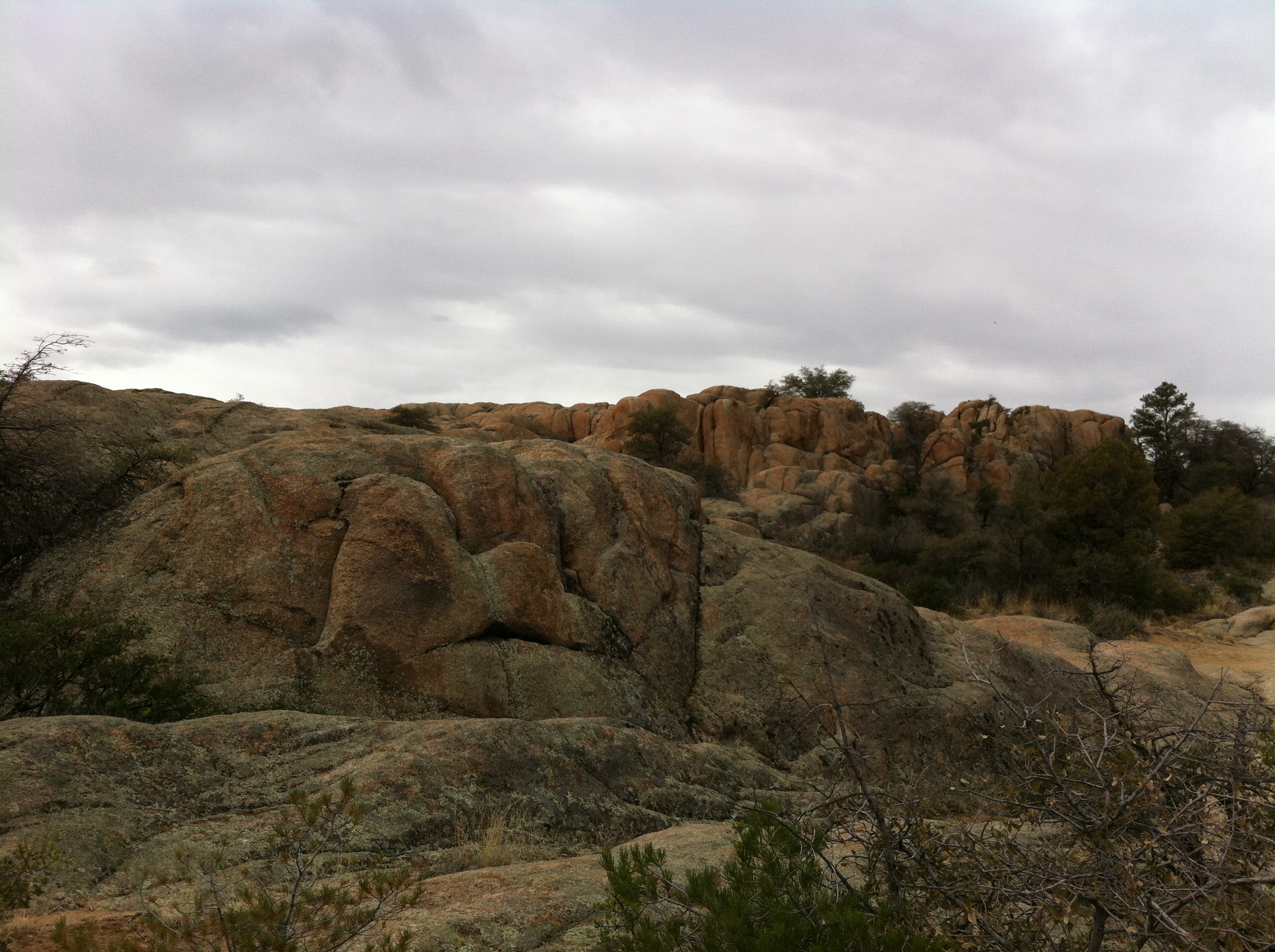
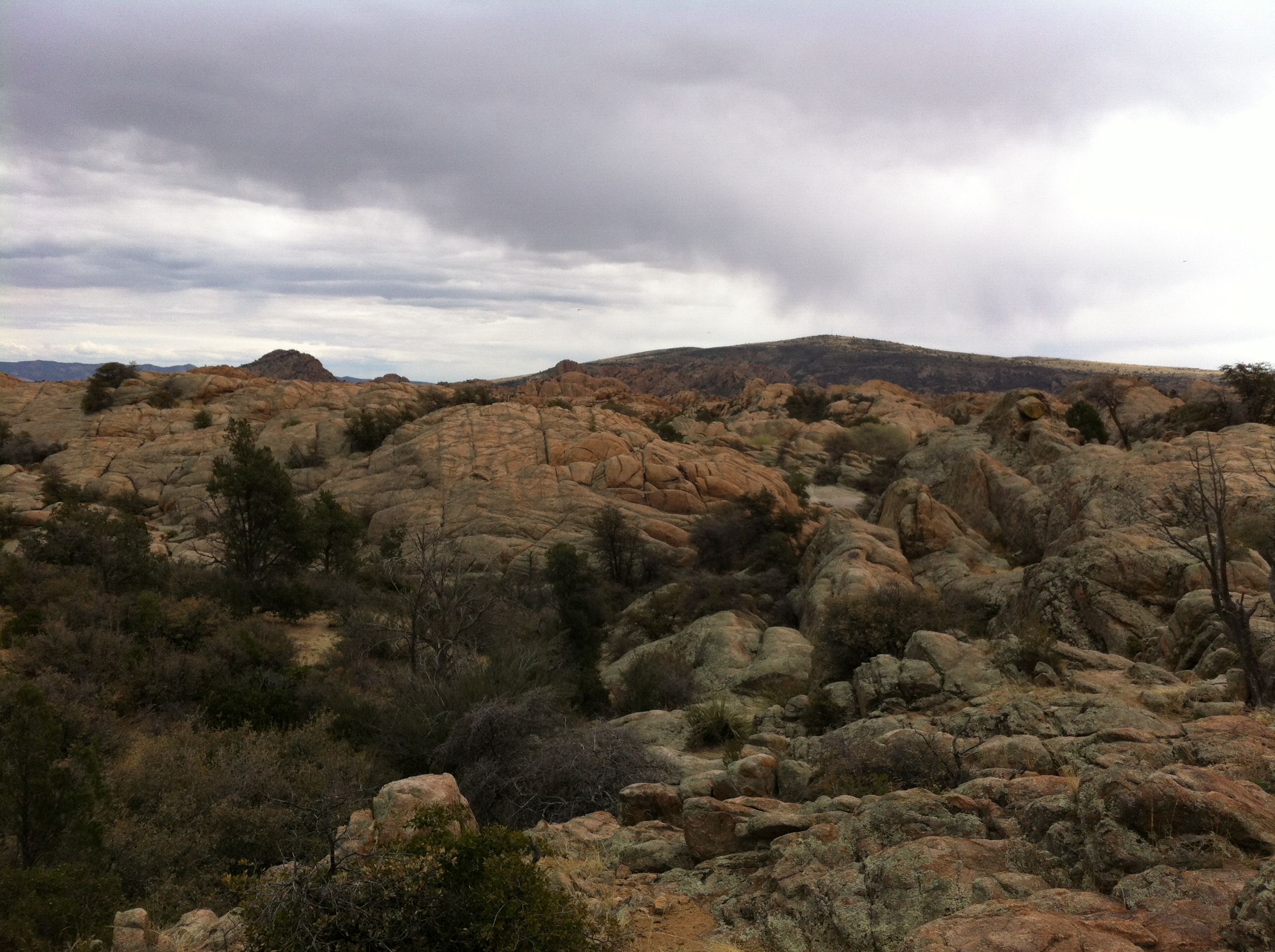
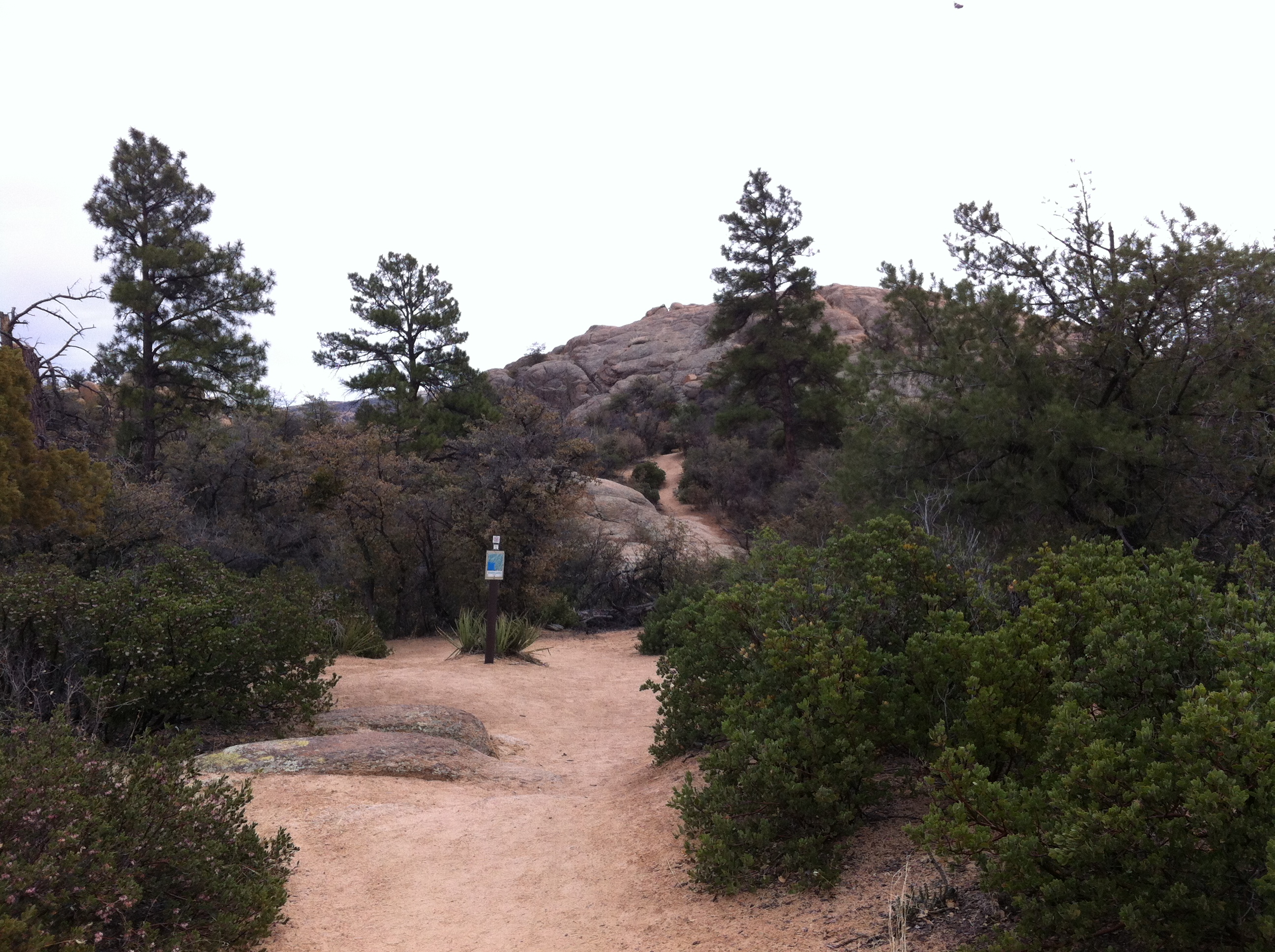
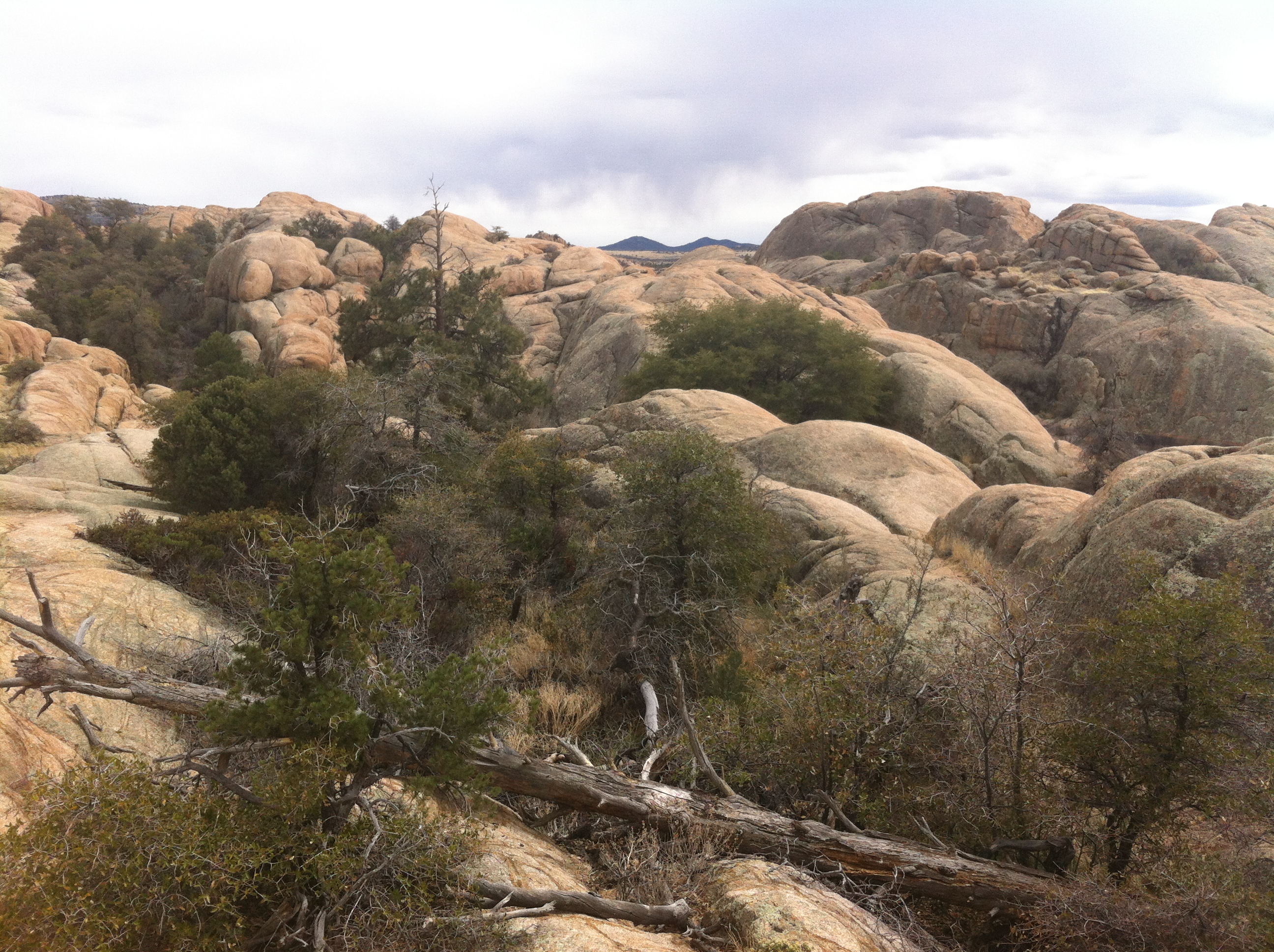
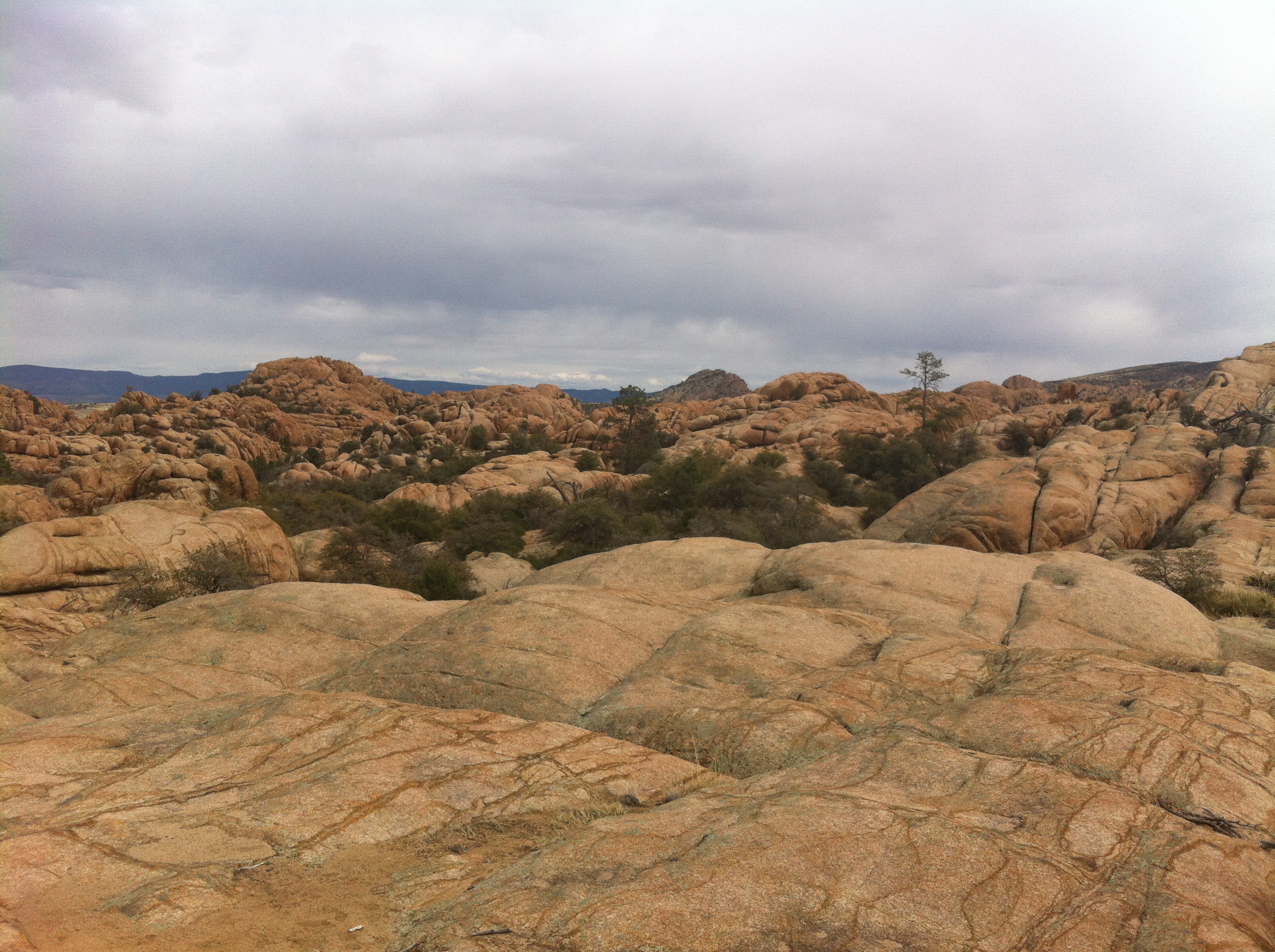
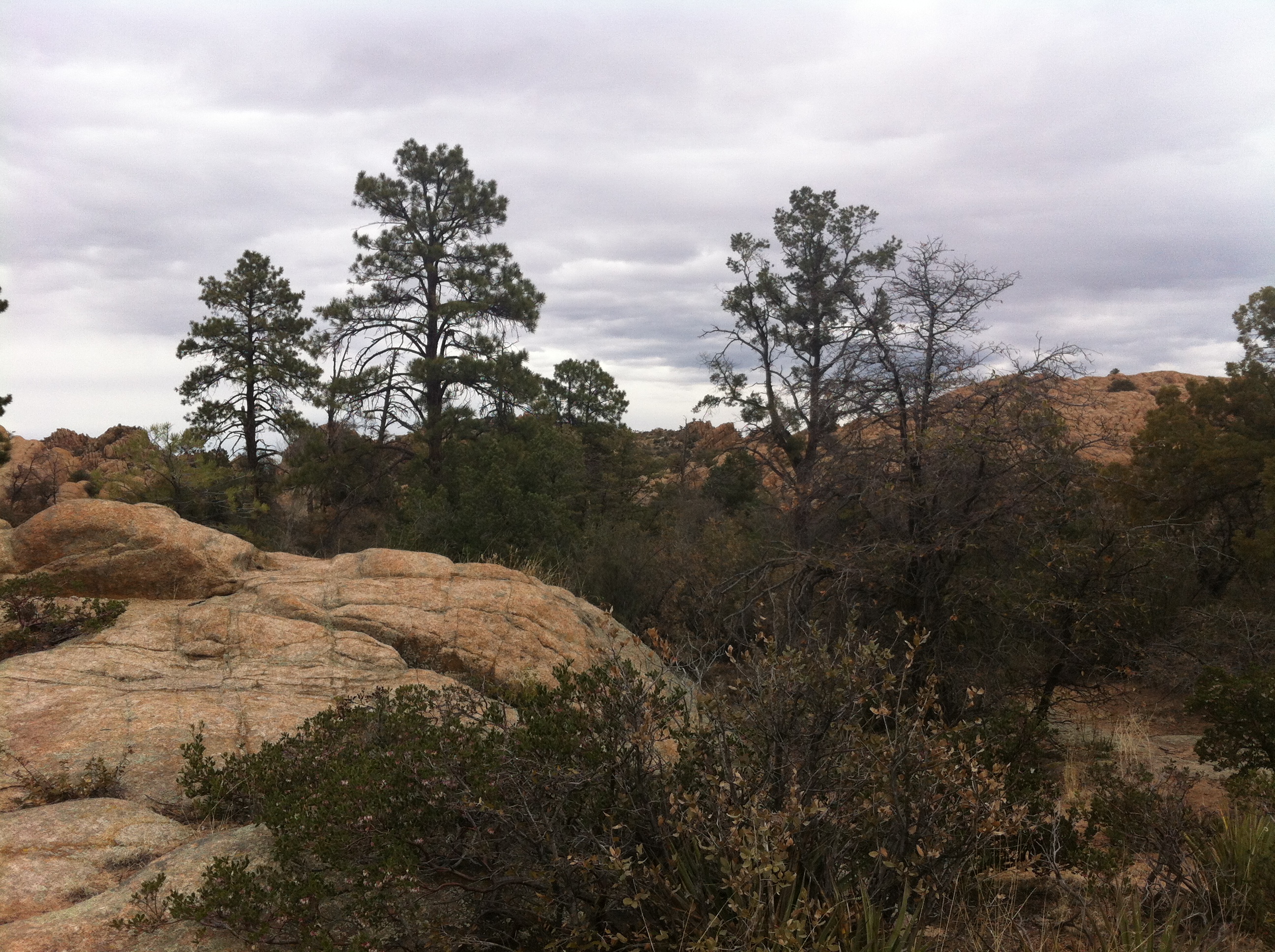
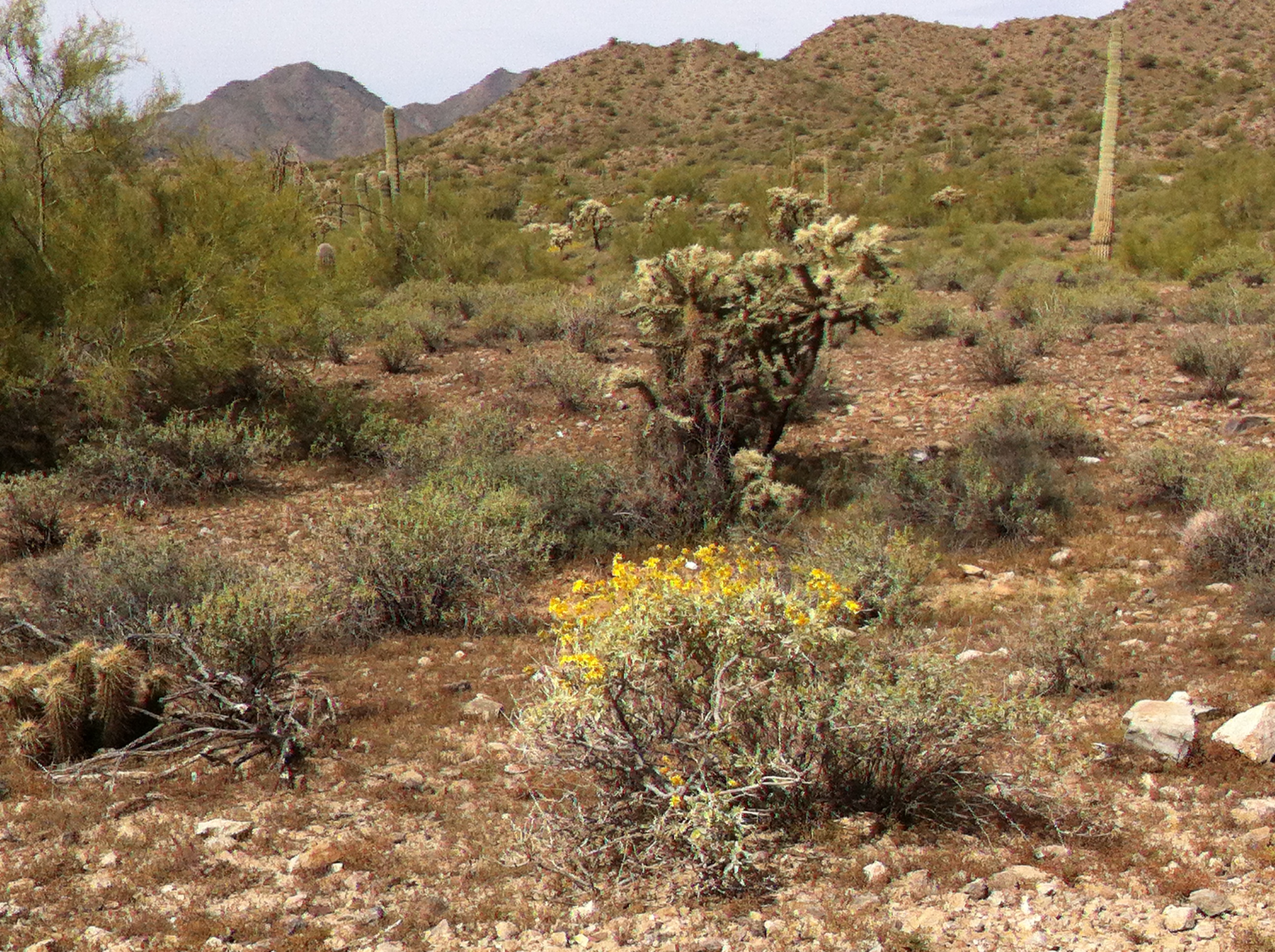
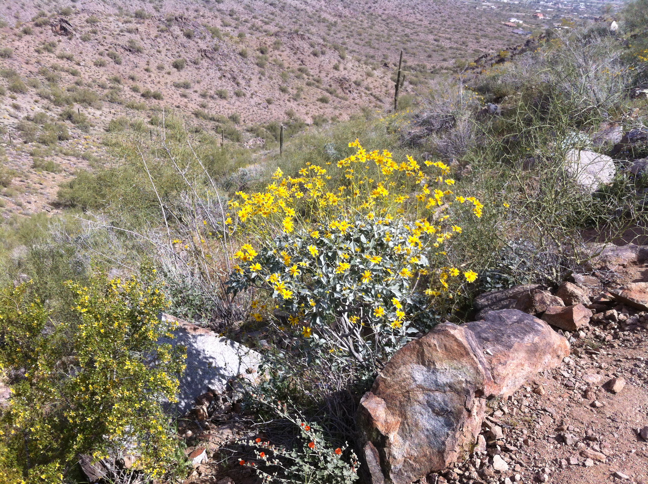
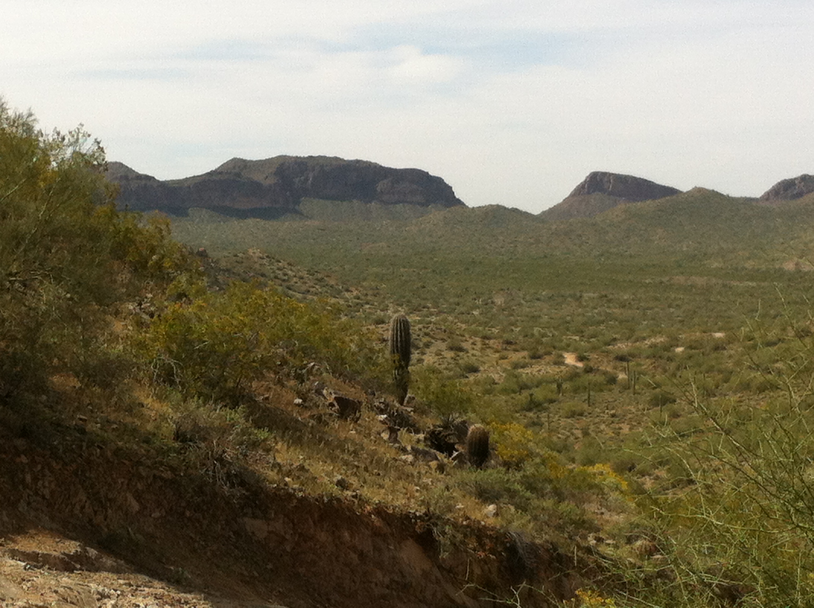
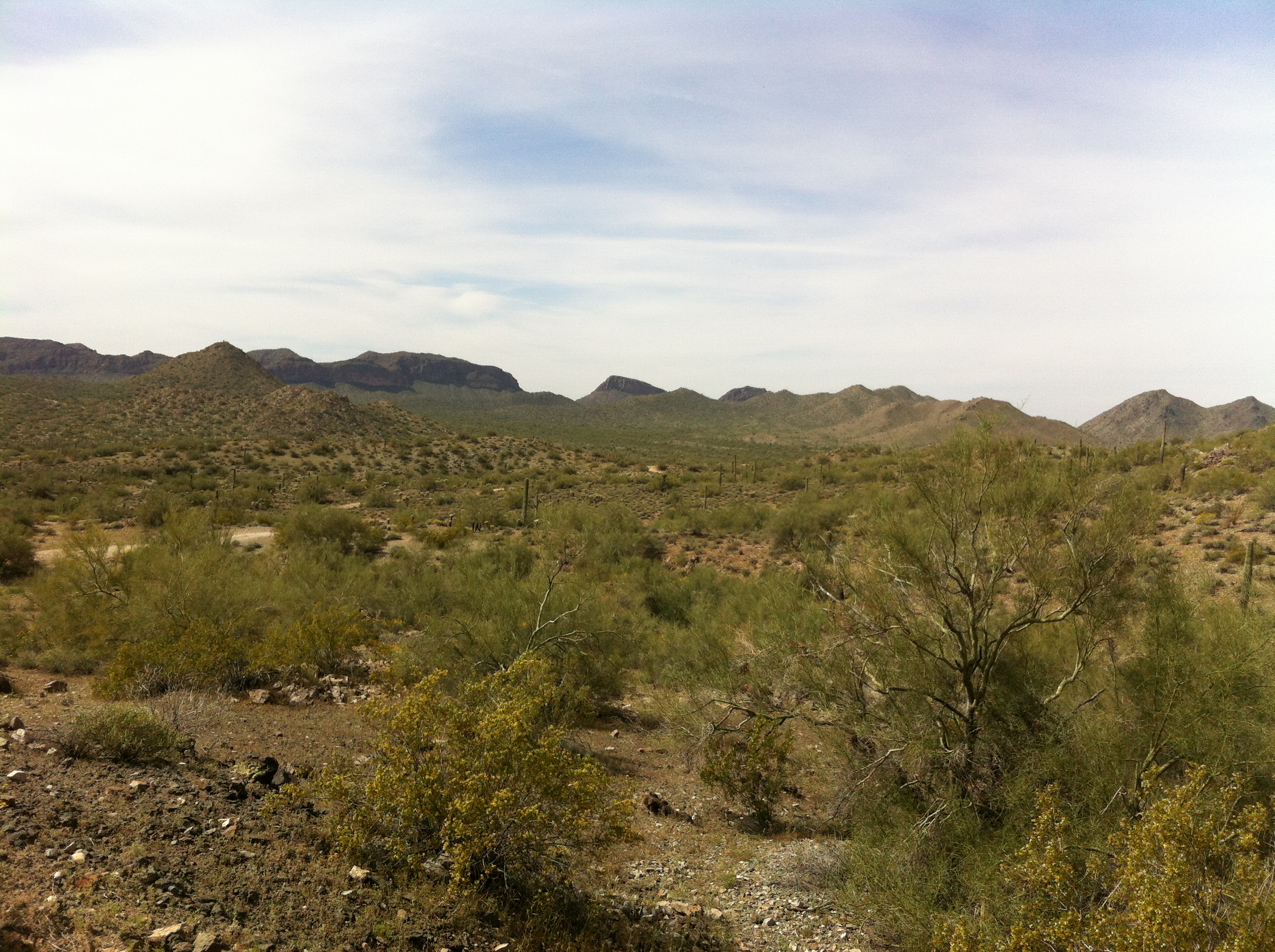
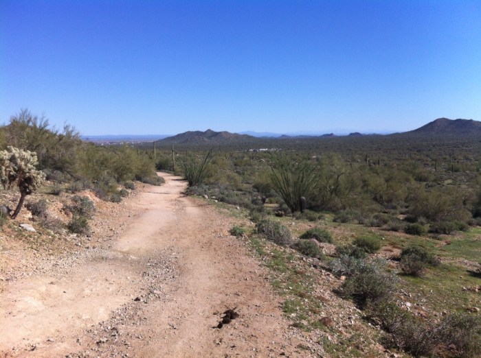
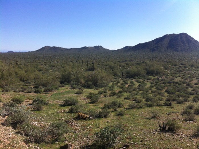
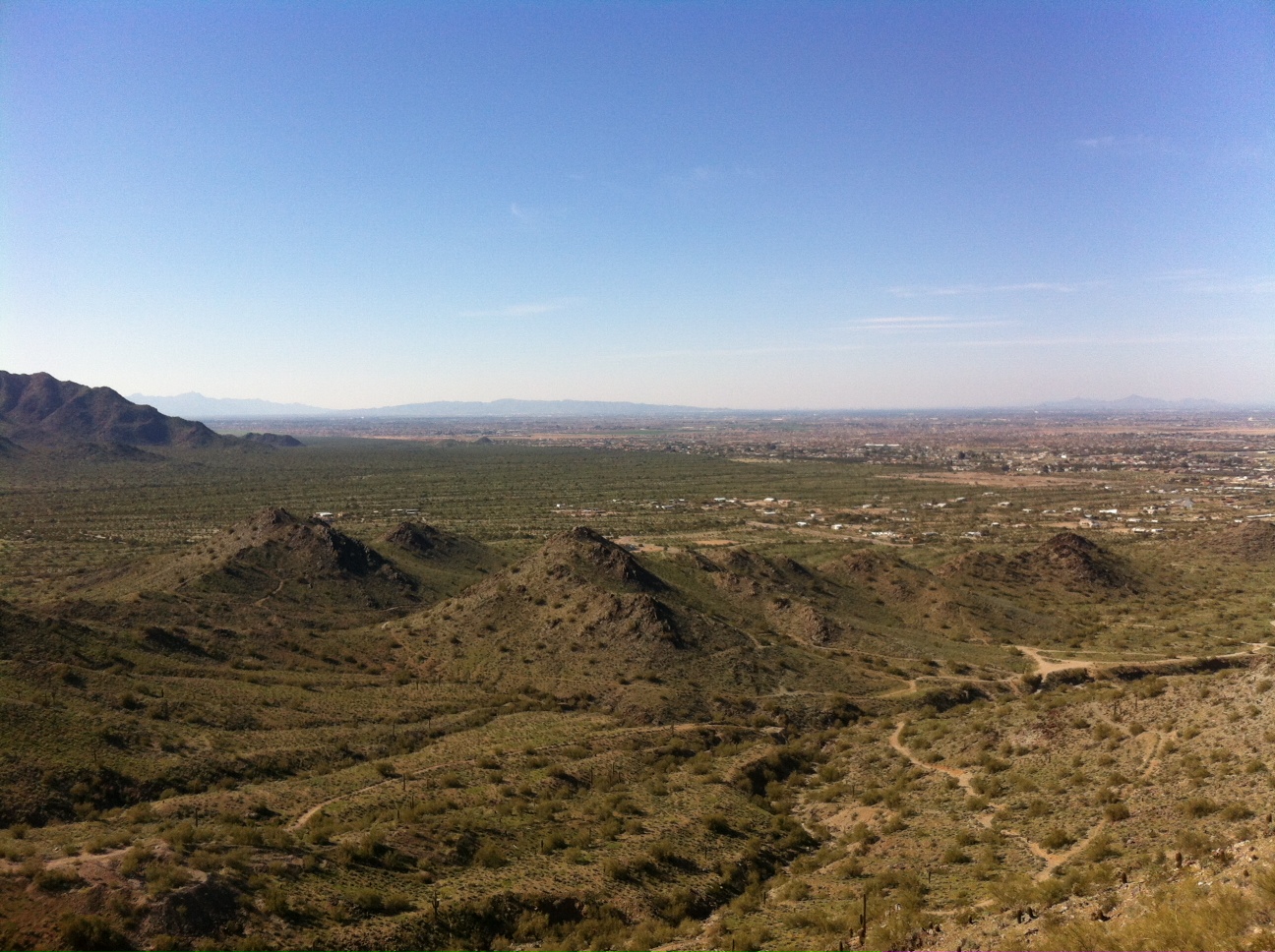
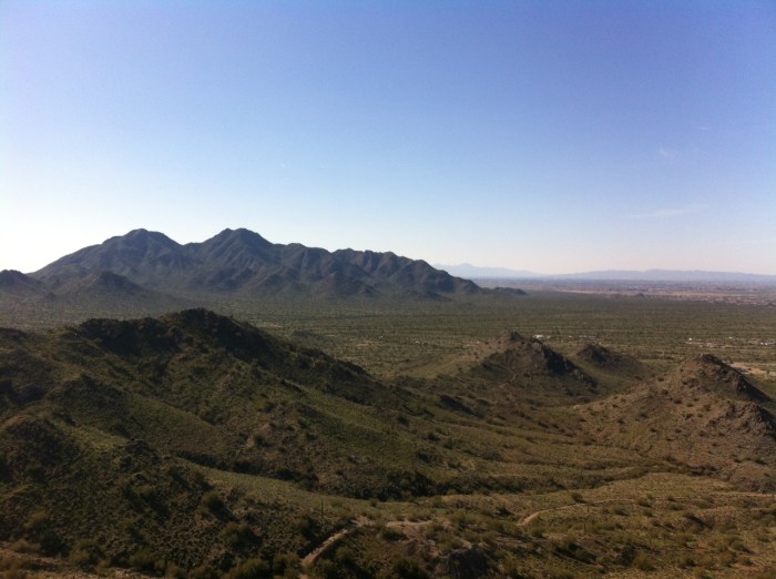
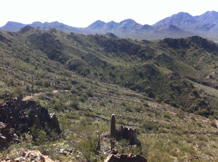
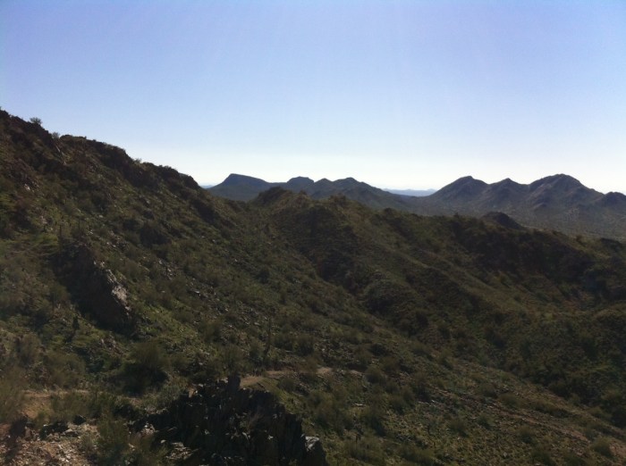
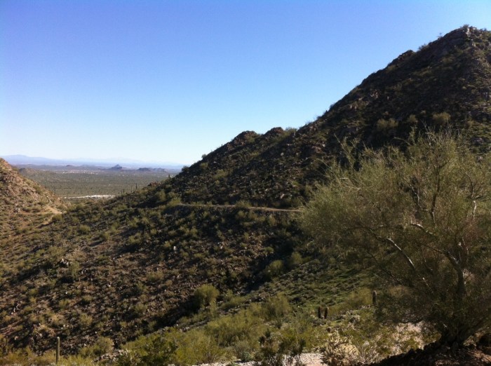
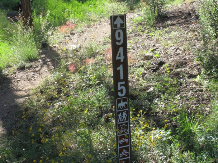
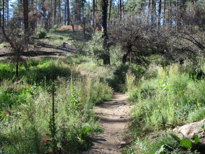
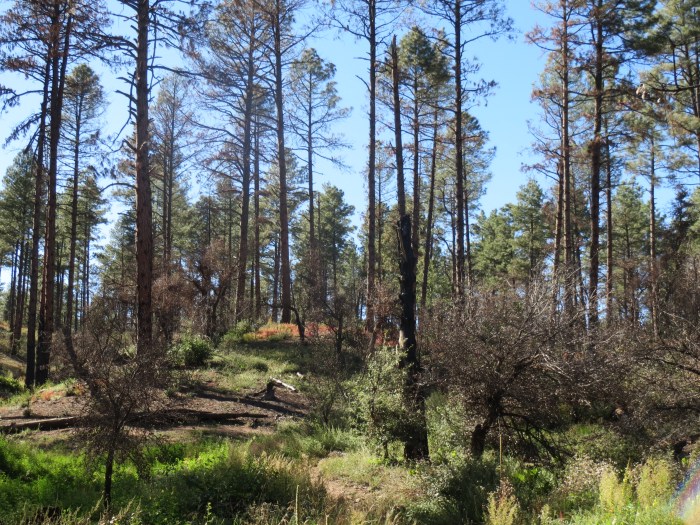
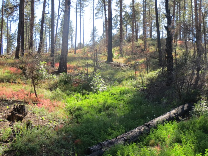
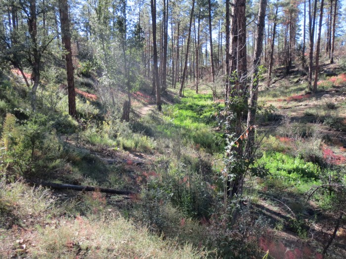
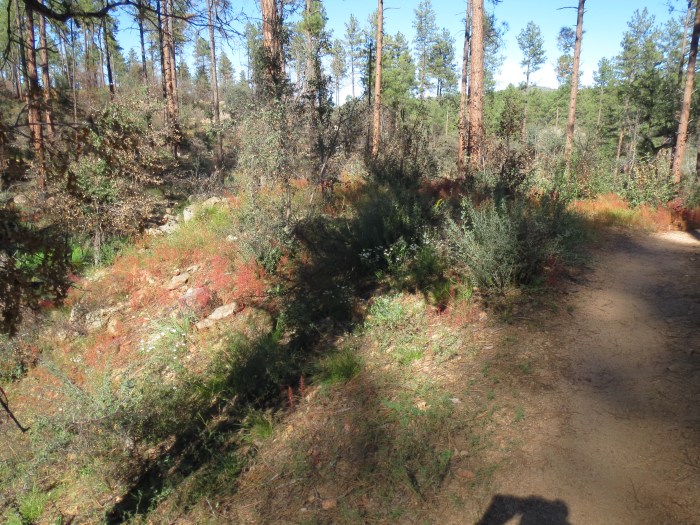
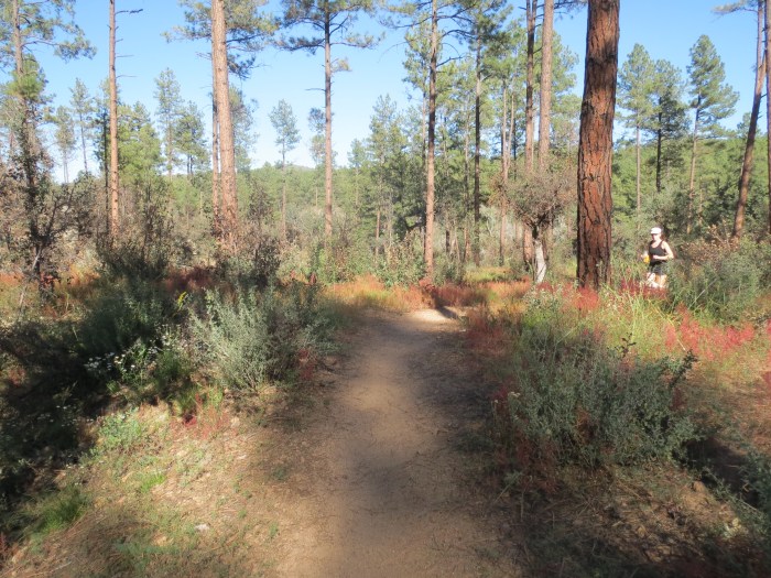
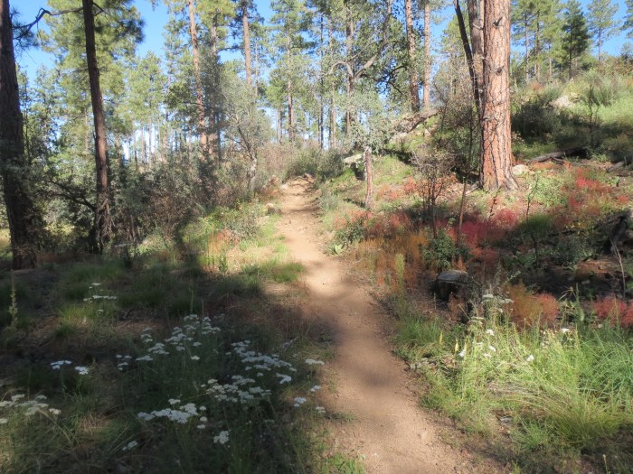
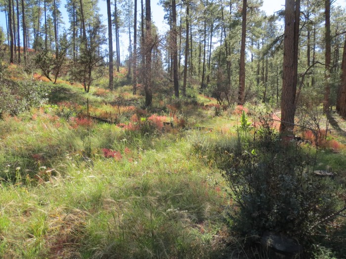
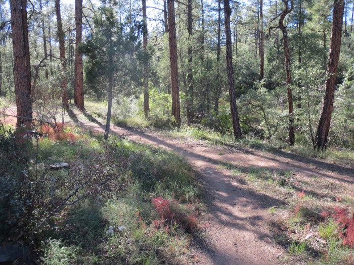
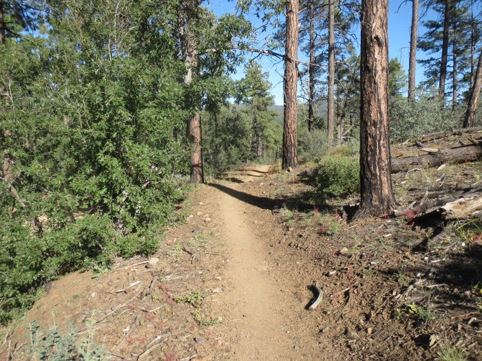
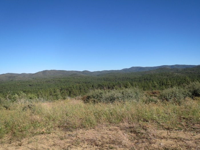
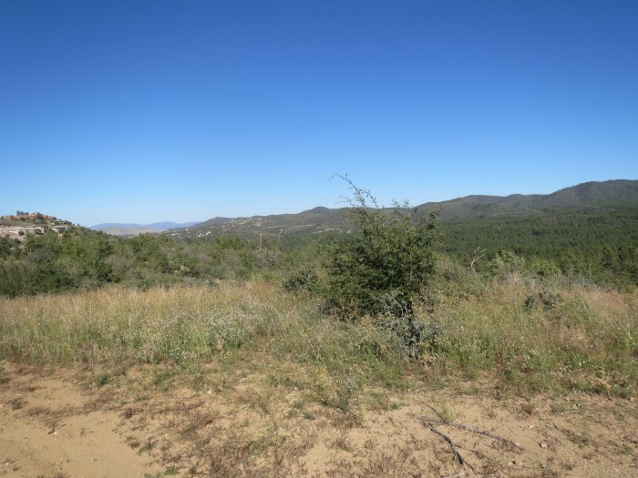
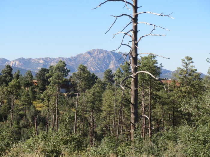
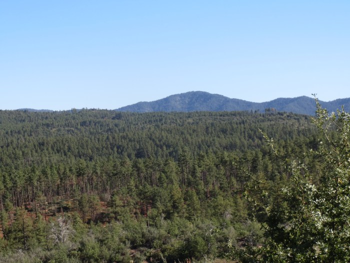
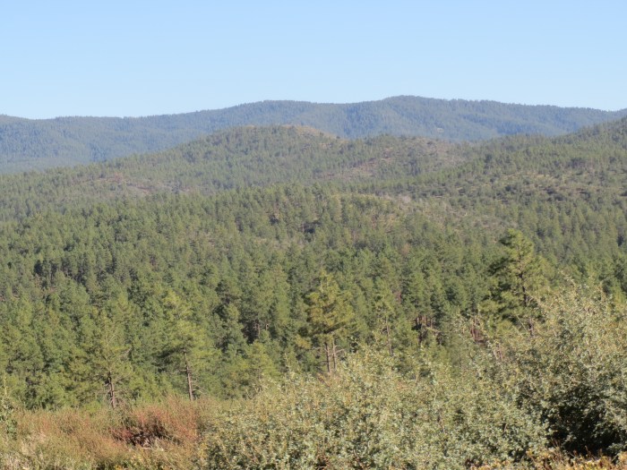
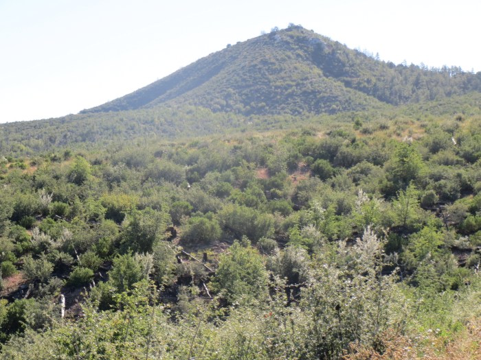
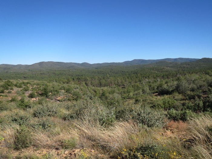
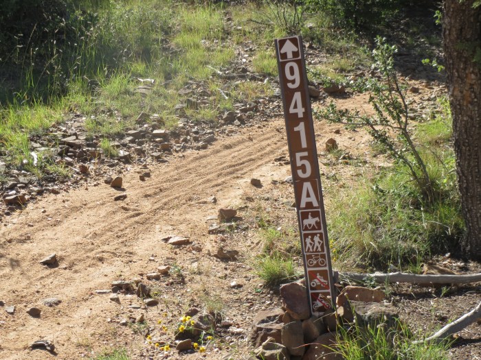
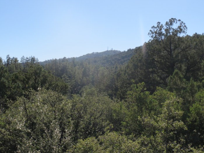
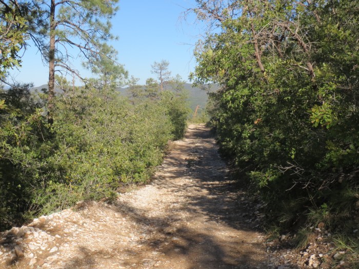
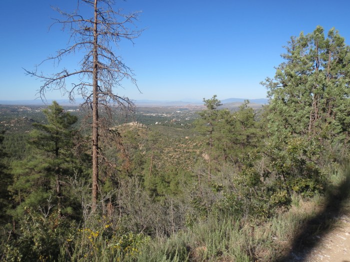
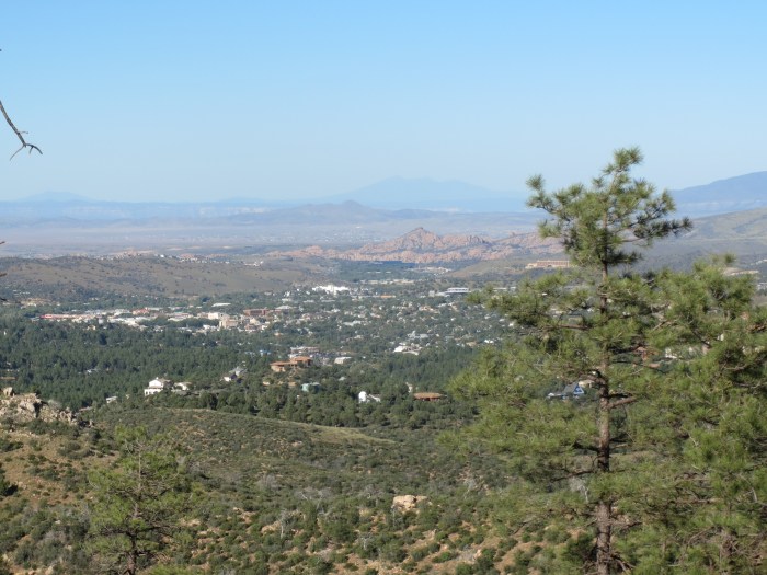
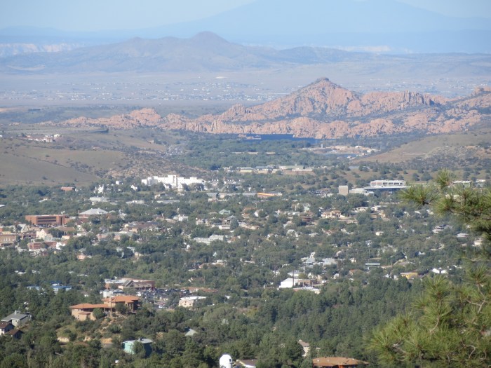
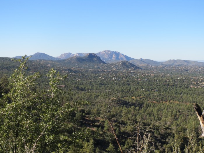
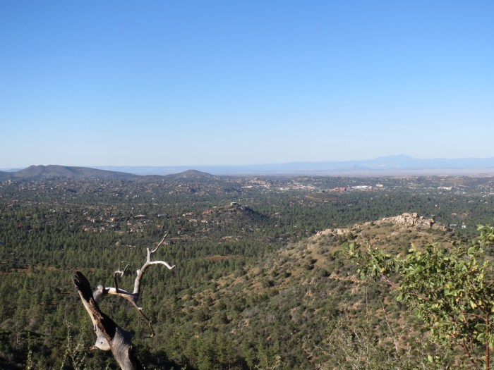
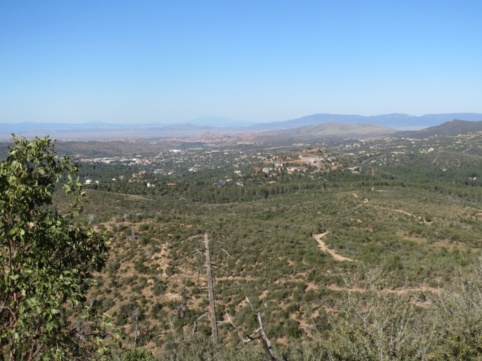
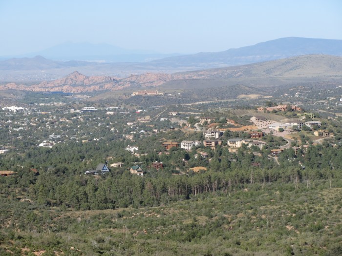
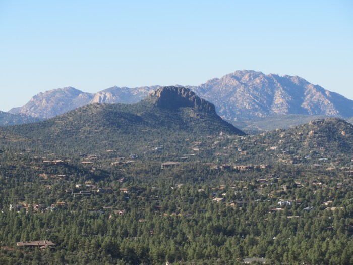
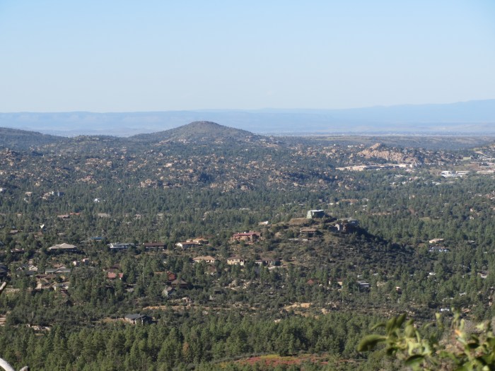
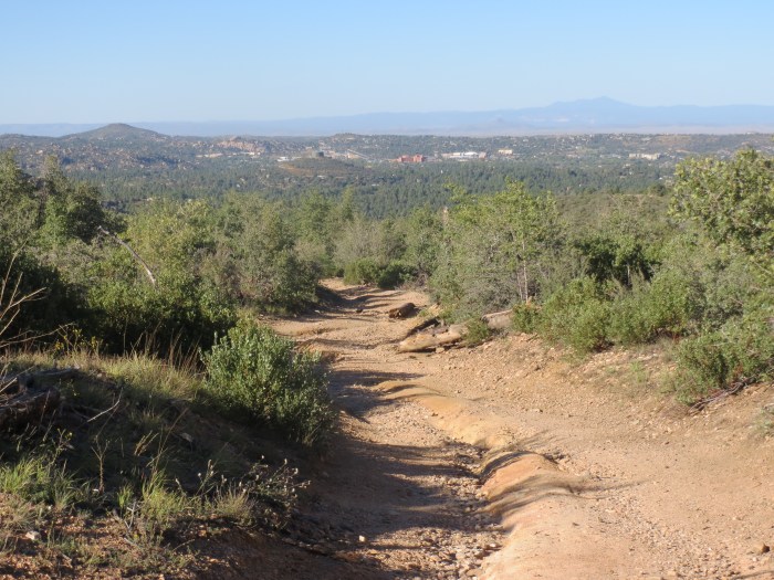
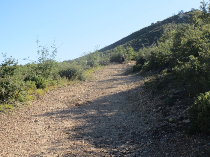
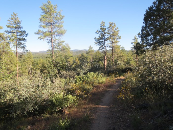
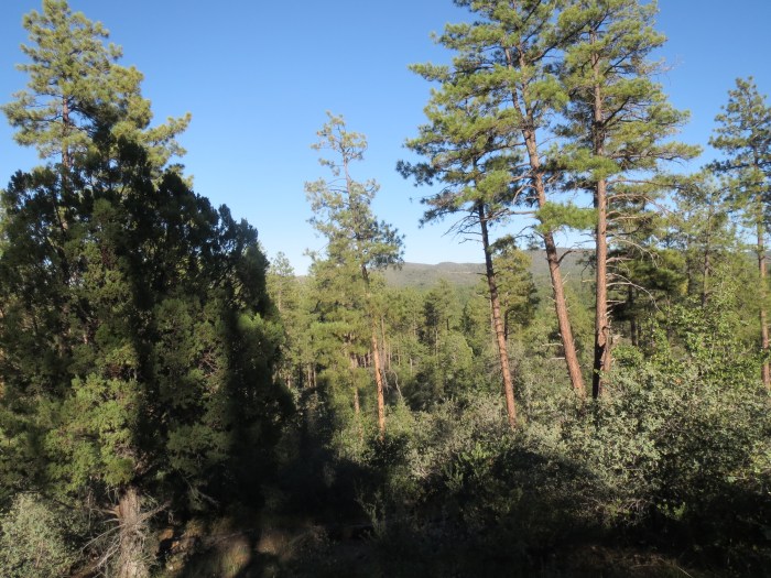
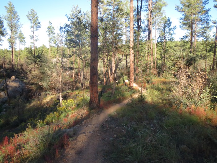
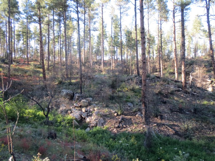
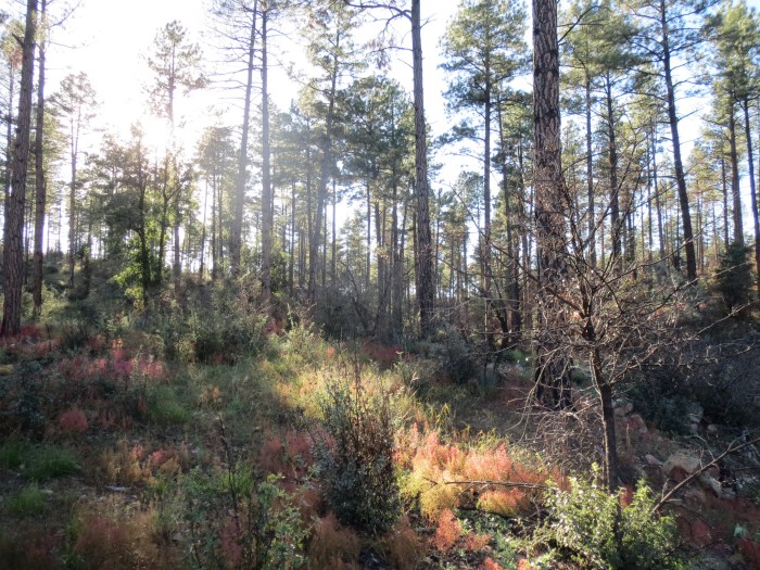
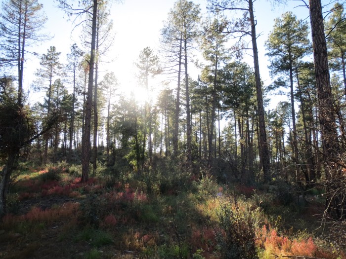
The Wolverton Mountain Trail #9415 is part of the Prescott Circle Trail and connects the Goldwater Lake Trail (#396) with the Aspen Creek Trail (#48). It is a mostly single track through pine forest and low scrub which gradually climbs by White Spar and Wolverton Mountain.
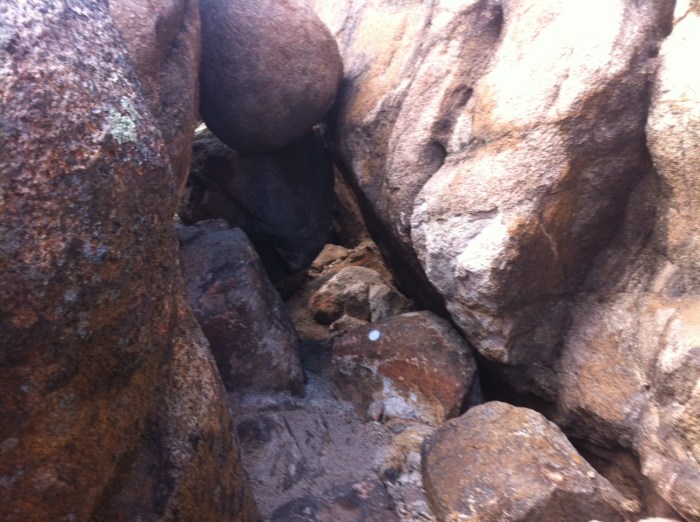
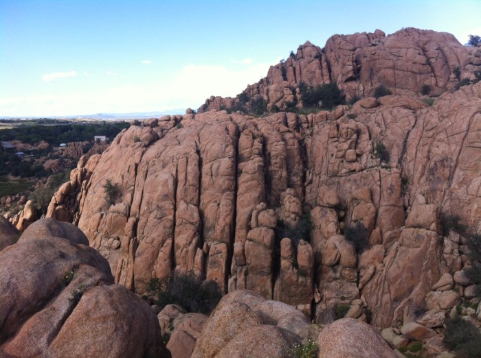
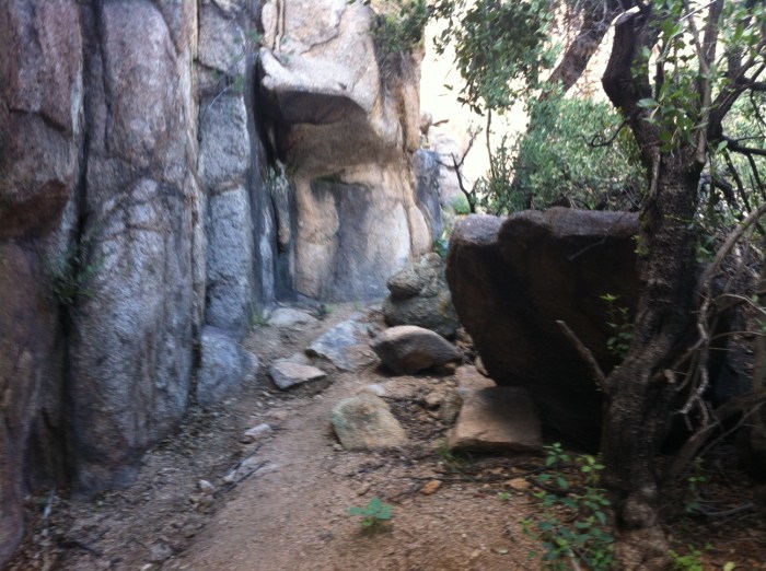
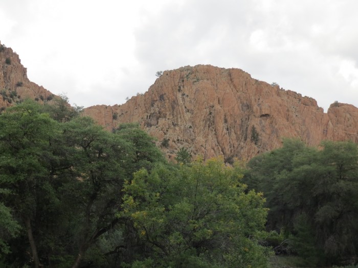
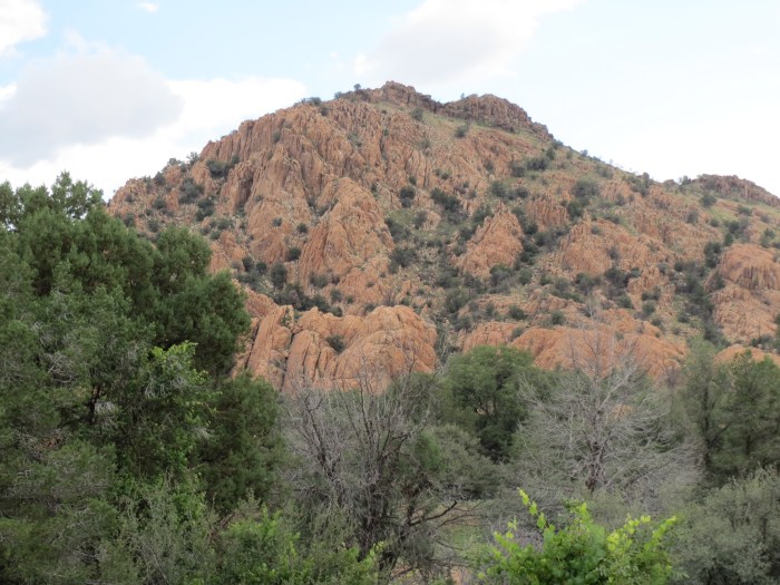
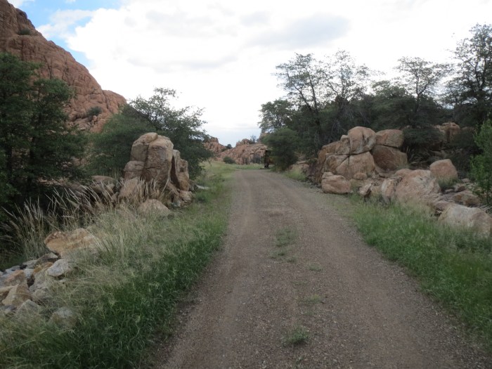
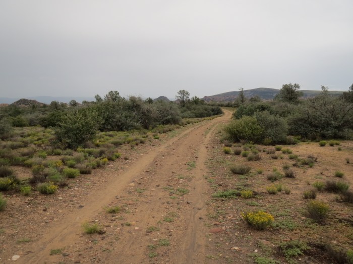
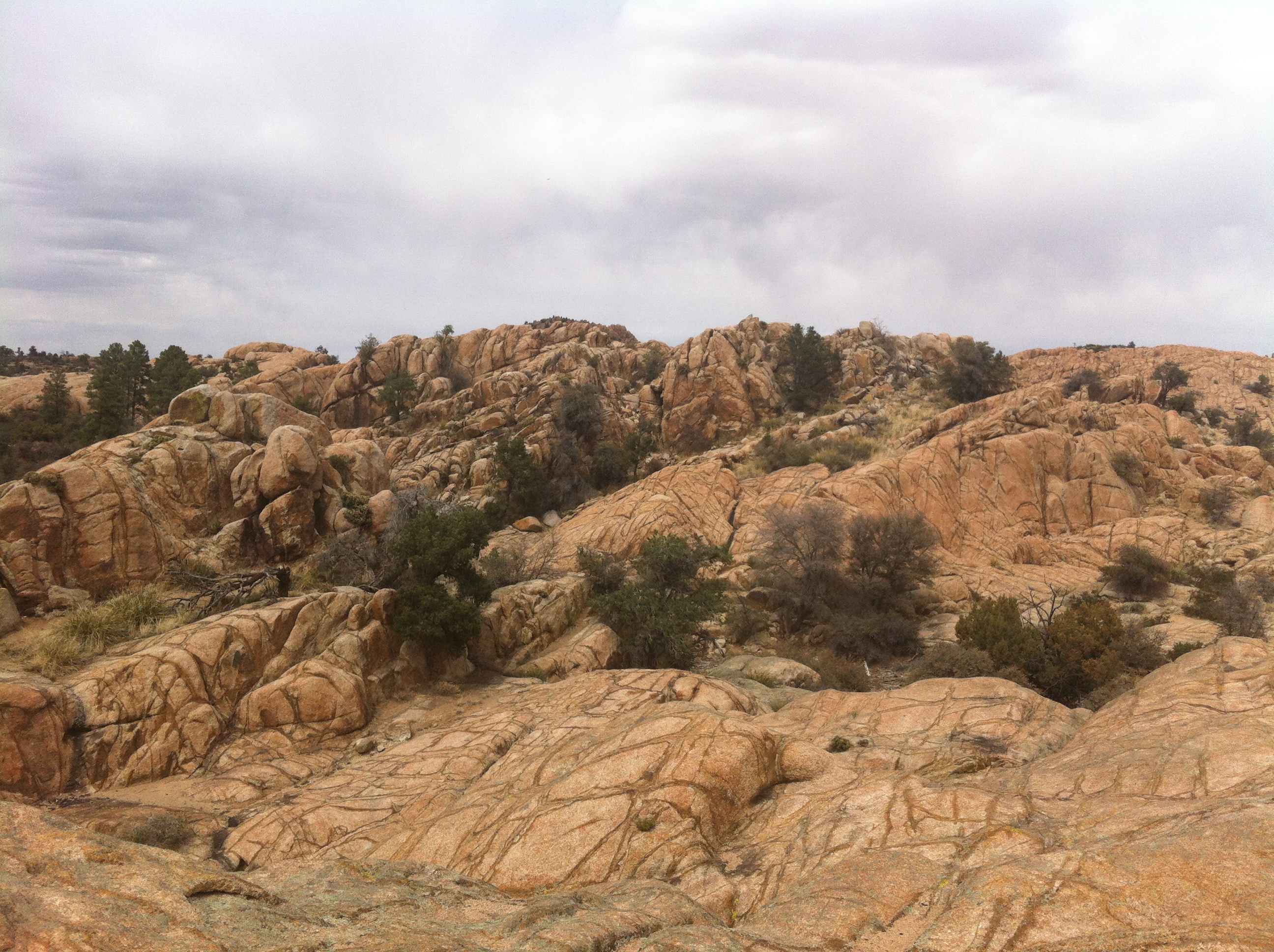
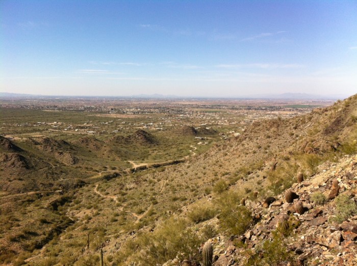
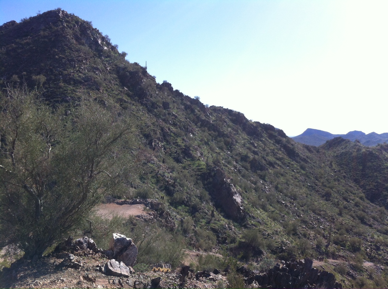
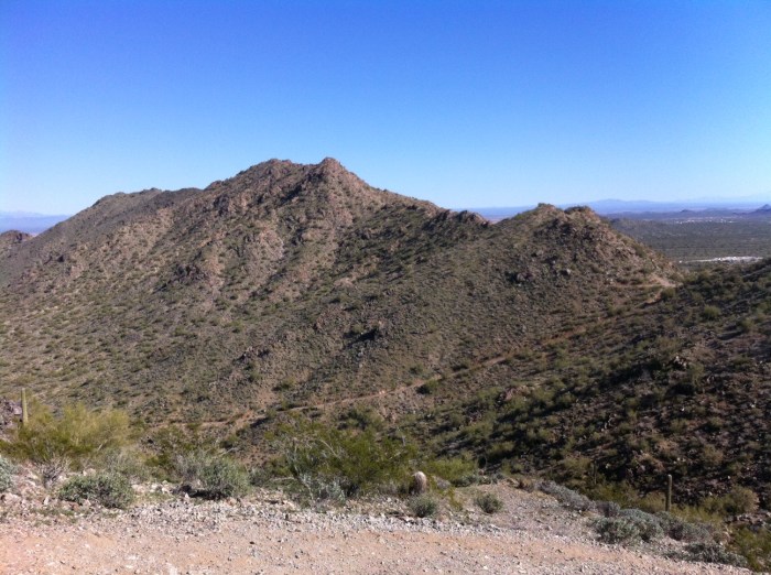
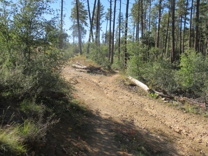
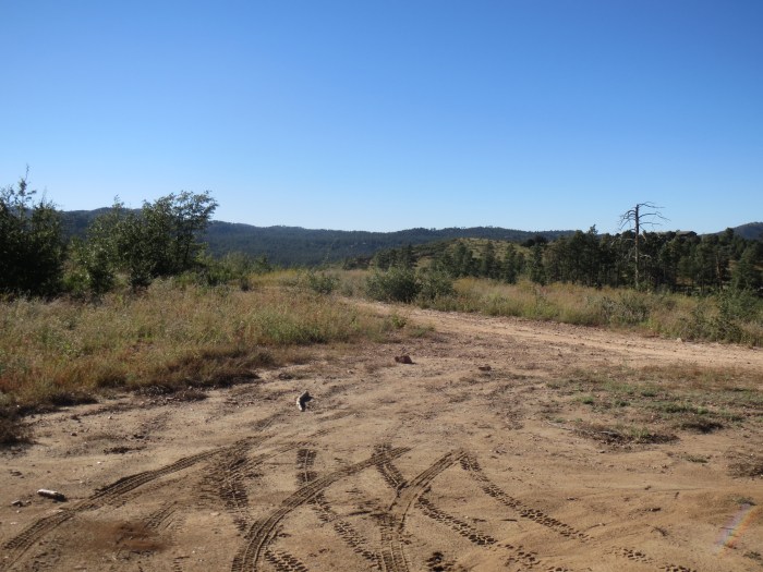
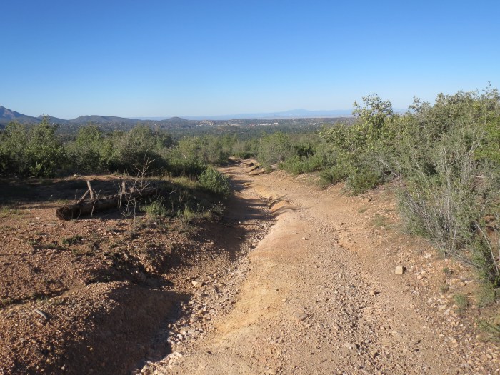
Running the single track part of the trail is mostly smooth switchbacks with a few rocks, but once you reach the service road up White Spar and Wolverton mountain it gets very technical with large sharp granite rocks over a very steep climb.
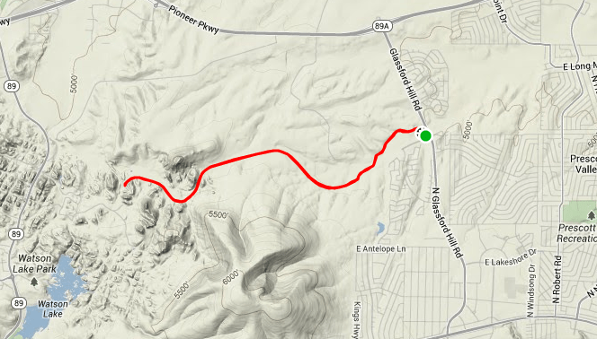
Elevation: 5,643’ ft (low) – 6,670’ ft (high)
Length: 11 mi (round trip)
Skill Level: Advanced
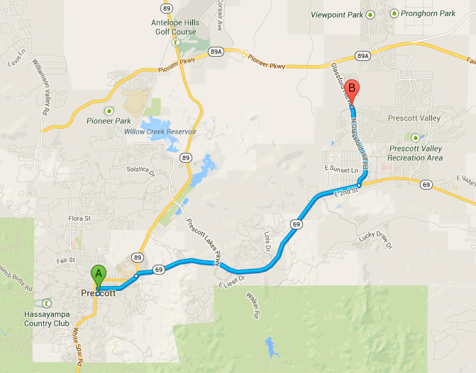
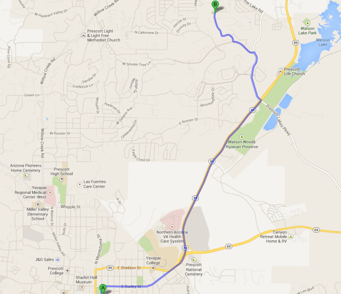
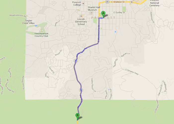
Directions: Google Map Driving Directions

Happy Trail Running :)